
Selenite Mountains Wilderness Study Area
Values
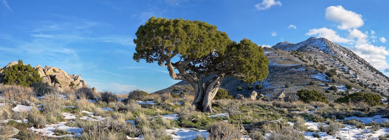
The Selenite Mountains WSA is characterized by three distinct landforms: a main ridge axis, a narrow fringing desert piedmont on the northwest side, and a foot slope on the southeast and northeast sides. The main ridge is predominantly eroded granite and basaltic flows, with several large drainage systems on the west and northwest running perpendicular to the ridge axis. The piedmont along the foot of the mountains is a abrupt transition from the steep ridge axis to conical alluvial fans. The foot slope drops gradually from the main ridge to the desert valley over rolling to flat terrain with scattered granitic rock outcrops. At 7,115 feet, Selenite Peak is the high point. Vegetation is primarily sagebrush, bunch grasses, and juniper at higher elevations. Day-hiking, backpacking, hunting and horseback riding are some of the recreational opportunities available here.
Visitation Information
From Gerlach, NV, drive Highway 447 south approximately 3 miles to a gravel road on the left. The WSA is on the southeast side of this road for the next 12 miles.
Visitor Advisory
Though many recreational activities may be enjoyed here, there is no water available.