
Big Bug Trailhead | Arizona
The Big Bug Trailhead accesses the Black Canyon National Recreation Trail.
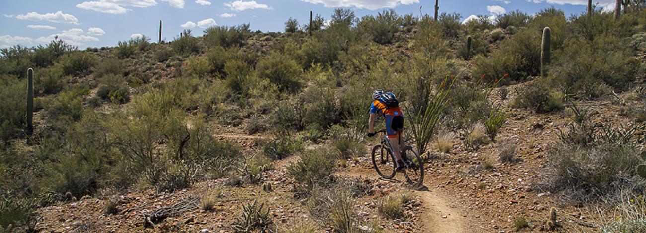
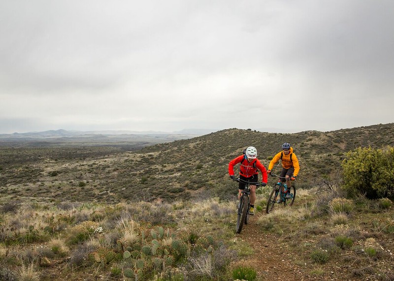
The 80-mile Black Canyon Trail provides mountain bikers with a long-range back country trail riding opportunity. This historic National Recreation Trail is of national significance, following a route used since the times of pre-historic Native American travelers and traders. This trail provides a challenging ride experience characterized by rough, unstable soils and rocks, with various trail grades and numerous elevation changes within a harsh desert climate.
The trail meanders through the Sonoran Desert landscape, including saguaro forests and rugged canyons.
The trail is recommended for use from November through April. At other times of the year, the trail is seldom used.
The difficulty level is intermediate.
Accessibility Description (ABA/ADA)
The Big Bug Trailhead parking area consists of hard-packed ground with non-striped spaces and one accessible vault toilet. Although none of the spaces are designated as accessible, the entire parking area should be suitable for people with mobility devices.
Descriptions and photos uploaded February 2026. Please note that actual on-the-ground conditions may vary due to natural events (e.g., weather, wildfires, erosion), normal wear and tear, or site improvements.
PHOTO ALBUM
Contact Us

Activities


Addresses
Geographic Coordinates
Directions
From Phoenix, on Interstate 17, take exit 262 for State Route 69 North towards Prescott. Stay on SR-69 for approximately 4.5 miles. Turn left (east) for the trailhead, 0.5 miles north of Rocking Lake Lane.
From Prescott, head south on SR-69 for 30 miles. The turn-off is on the right (east), 0.4 miles after mile marker 267.
Fees
No fees