
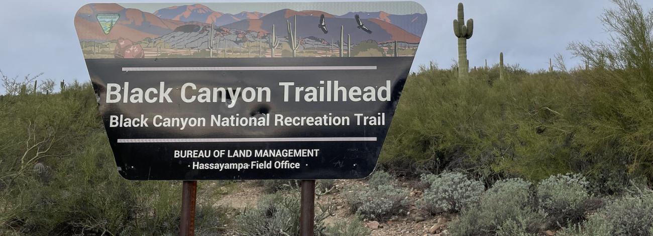
Black Canyon City Trailhead | Arizona
Black Canyon City Trailhead is located within the High Desert Park Recreation and Public Purpose Act lease to Yavapai County Parks. This day-use area connects to the Black Canyon National Recreation Trail. A toilet is available at the trailhead.
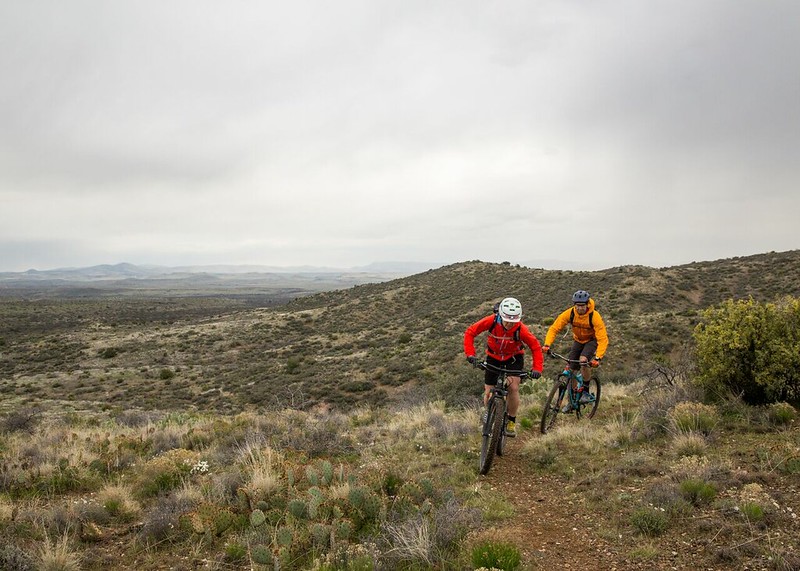
The 80-mile Black Canyon Trail provides mountain bikers, hikers, and equestrians with a long-range backcountry trail opportunity. This historic National Recreation Trail is of national significance, following a route used since the times of prehistoric Native American travelers and traders. This trail provides a challenging ride experience characterized by rough, unstable soils and rocks, with various trail grades and numerous elevation changes within a harsh desert climate. The trail meanders through the Sonoran Desert landscape, including saguaro forests and rugged canyons.
The trail is recommended for use from November through April. At other times of the year, the trail is seldom used.
The difficulty level is intermediate.
Photo Gallery
Contact Us

Activities


Addresses
Geographic Coordinates
Directions
From Phoenix, take Interstate 17 north and exit at Rock Springs/Black Canyon City Exit 242. Head west (left). At the stop sign turn right then a quick left onto Warner Road. Follow the road to the white tank.
From Prescott, take highway 69 to Interstate 17, head south. Take the Black Canyon City/Cold Water Road Exit 244. Drive through town and turn west (right) onto Warner Road. Follow road to the white tank.
Fees
No fees.