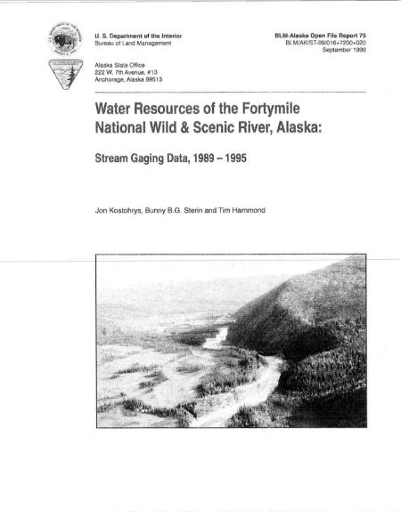
Water Resources of the Fortymile National Wild and Scenic River, Alaska: Stream Gaging Data from 1980-1995

Beginning in August 1989, the Bureau of Land Management's Northern Field Office staff established streamflow monitoring sites on the Fortymile River and its principal tributaries.
While the early work focused on road-accessible sites, the more remote sites on the North, Middle and Dennison Forks were surveyed beginning in 1991 in cooperation with staff from the state of Alaska, Division of Mining and Water. A total of 26 sites were surveyed and six had sufficient data to determine the annual discharge hydrograph, including mean monthly, peak and minimum streamflow.
The information will be used to apply for state of Alaska instream flow water rights as well as to aid resource management practices involving fisheries. mining and reclamation. BLM staff also completed a geographical information system analysis to determine stream basin characteristics.
