
BLM-Eastern States Geospatial Services Division hosts Story Map Meet-Up
The BLM-Eastern States (BLM-ES) Geospatial Services Division hosted “ArcGIS Story Maps in Managing Public Lands Meet-Up" at the BLM-ES State Office, Washington D.C., January 30, 2020, to discuss how agencies in the Department of the Interior use location-based features to create and enhance digital storytelling.
The event was attended by employees of BLM, Esri, Bureau of Ocean and Energy Management (BOEM), and National Park Service (NPS). Team members of the BLM-ES General Land Office (GLO) Records Branch presented their Esri-award winning “Record of the Week,” and discussed the transition to the new ArcGIS Story Map. They also provided the audience with new ideas for filtering content, and shared a workflow process that enables BLM-ES to meet content deadlines, and comply with Section 508 of the Rehabilitation Act of 1973, as amended. BLM-ES presenters included Daniel Fleming, GLO Records Branch Chief; Kelsey Combs, Legal Instruments Examiner; Matt Kime, Geospatial Analyst; Kellen Irby, GIS Specialist; and Bryan Barr, GIS Specialist.
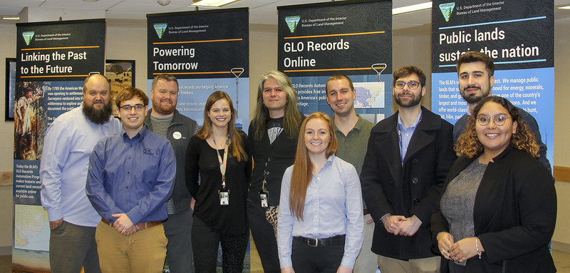
BLM-ES GLO and External Affairs team members from Left to Right: Ryan Tietjen (GIS Manager), Kellen Irby (GIS Specialist), Joe Cullinan (Legal Instruments Examiner), Kelsey Combs (Legal Instruments Examiner), Daniel Fleming (Branch Chief of GLO Records Automation), Rachel Maynard (GIS Data Analyst), Bryan Barr (GIS Specialist), Daniel Sharareh (Legal Instrument Examiner), Matt Kime (Geospatial Analyst), and Tatiana A. Muriel Luna (Public Affairs Specialist). Photo Credit: Jasmine Brown (Public Affairs Specialist), BLM
Ann Gallaghner, NPS Science Education Coordinator; Michelle Thomas, Esri Web Producer and Community Manager; and Jeremy Smith, BOEM Cartographer, presented their story maps and spoke on the benefits of using them. “No one has to be a tech specialist to learn the procedure for making a story map,” Michelle Thomas said.
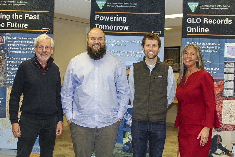
From Left to right: Allen Carroll (Esri Representative), Ryan Tietjen (GIS Manager), Ross Donihue (Cartographer and Product Engineer of Esri), and Michelle Thomas (Esri Web Producer) Photo Credit: Tatiana A. Muriel Luna (Public Affairs Specialist), BLM
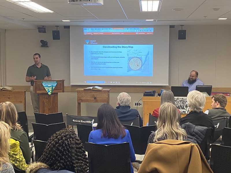
The meet-up included tips and tricks of creating an exceptional story map presented by Ross Donihue, Esri Cartographer and Product Engineer, and concluded with a tour of the BLM-ES General Land Office Records Automation Branch led by Daniel Fleming.
Throughout the meet-up, the audience was attentive to topics such as: how to title a story map, whether to change text formatting throughout the story map, and using motion pictures to make a story map more dynamic. Ryan Tietjen, BLM-ES GIS Manager, was very satisfied with the event. “It was awesome to see how Esri and other agencies in the Department of the Interior are using story maps. All of us, presenters and members of the audience as well, learned a lot from each other,” according to Ryan. In fact, BLM-ES was so encouraged by this event, “We’d like to host more meet-ups in the future,” he said.
Bryan Barr (GIS Specialist) and Ryan Tietjen (GIS Manager)
Photo Credit: Jasmine Brown (Public Affairs Specialist), BLM
- See all of the GLO Branch “Records of the Week” here: https://www.blm.gov/services/land-records/weekly-story-maps
- View more photos of this event in our Flickr album: https://www.flickr.com/photos/blmeasternstates
Related Stories
- Strengthening Partnerships: BLM Connects with Industry at Key Oil and Gas Meetings in Ohio and Pennsylvania
- Successful Wild Horse & Burro Placement Event Draws National Interest in Liberty, Kentucky
- Great American Clean Up Brings Accessibility, Stewardship, and Community Together at the Jupiter Inlet Lighthouse ONA
- Where Art Meets Conservation: Students Shine in 2026-2027 Junior Duck Stamp Competition
- Placing Wild Horses and Burros East of the Mississippi, Supporting Healthy Herds and Public Lands in the West
Office
5275 Leesburg Pike
Falls Church, VA 22041
United States