
Geospatial

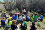
Discovering history and nature: Pinedale’s first graders explore the CCC Ponds

Every June, young students in Pinedale embark on a memorable journey, one that blends history, ecology, and hands-on learning at the CCC Ponds recreation area near Fremont Lake. This annual field trip, organized by the Pinedale schools and supported by specialists from the Bureau of Land Management’s Pinedale Field Office, offers first graders a unique opportunity to connect with their local environment and heritage—the kinds of hands-on learning at the heart of BLM’s newly launched All Americans Outside initiative.

Signs of Collaboration: Protecting Tortoises on Arizona Public Lands

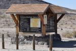
The Bureau of Land Management and partners used science, data, and staff expertise to identify locations where signage can help protect desert tortoises while supporting responsible, motorized recreation.

Monument map earns ‘finalist’ honors in global GIS awards

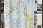
Happy GIS Day! GIS maps are some of the most-appreciated tools in the BLM. One such map – the BLM’s Upper Missouri River Breaks National Monument Transportation Map – earned high honors at the 2025 Esri User Conference.

Adventures in public lands: Maggie and Morgan's GIS internships with the BLM

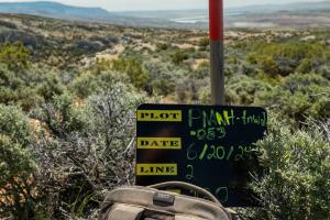
Before their internships in Colorado end, Maggie Carmody and Morgan Delgado look forward to exploring BLM-managed public lands, where they will see how the tools and programs they developed are implemented in real time.

BLM publishes interactive web map displaying access to public lands

In December 2024, the BLM released a new interactive web map that displays legal locations to access BLM-managed public lands.