Tyee Campground - Umpqua River |
Overview
Tyee Campground is situated between the Pacific Coast and the city of Roseburg, Oregon. Perched on the banks of the Umpqua River, its location appeals to avid anglers and water sport enthusiasts. The name, Umpqua, is a surviving term of the Native American Umpqua language, and translates to "thundering waters," "satisfied," or "across the waters."
For awareness when making reservations: There are two Tyee Campgrounds in Oregon. This location is on the Umpqua River, and another is located near the Oregon Dunes.
Firewood will no long be available for purchase on site for the remainder of the 2025 season.
Recreation
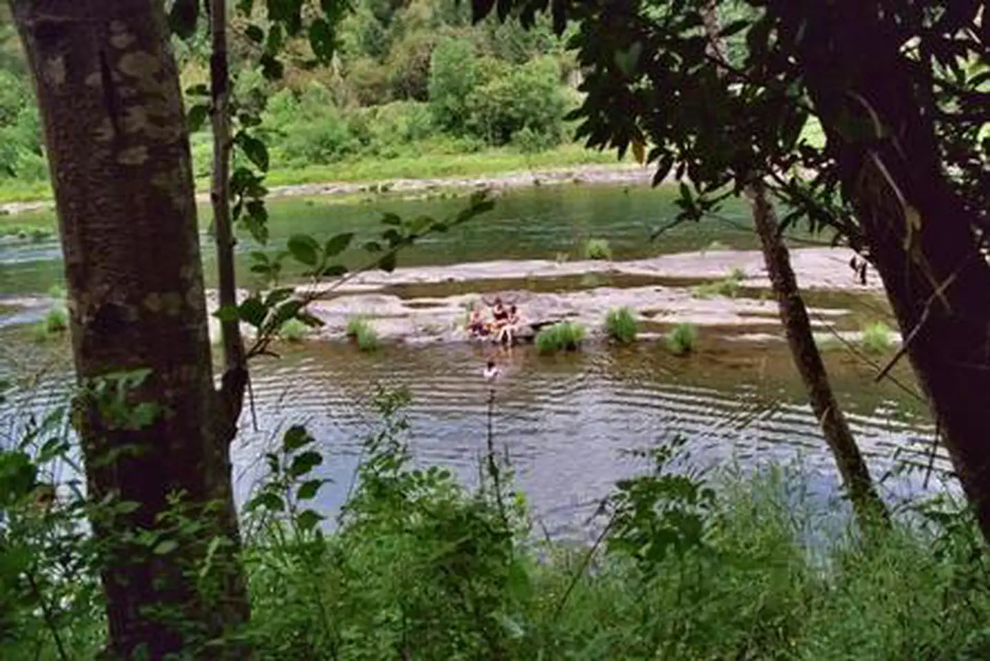
Fishing enthusiasts will enjoy the chance to catch chinook and coho salmon, steelhead, or bass depending on the season. A round of horseshoe on the grounds or a walk down to the river will appeal to those looking for a more casual day.Facilities
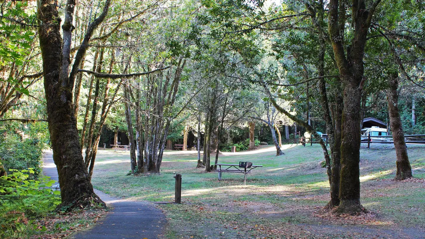
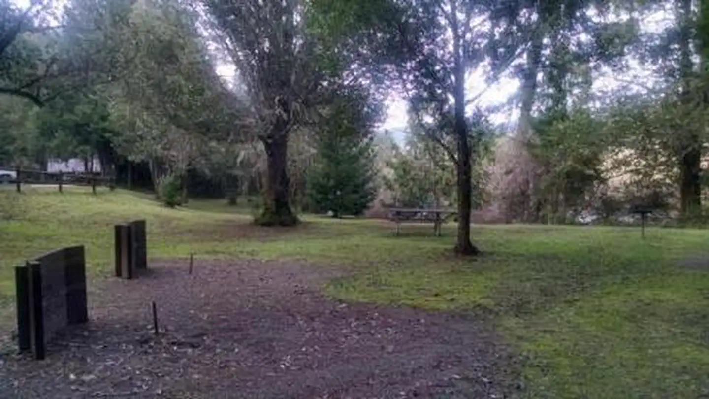
There are two areas with campsites. Both areas are reservation only until further notice. You will have access to amenities including multiple spigots for drinking water, restrooms, horseshoe pits, an emergency phone, and river access.
The campground also features the reservable Tyee Pavilion, which includes six large picnic tables, a long serving counter, sink, electrical outlets and a large barbecue grill. Search for Tyee Pavilion at recreation.gov for further information.
Natural Features
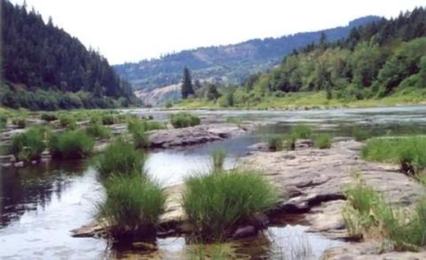
Tyee is located along the Umpqua River in southwestern Oregon. It is only one of two rivers in Oregon with headwaters that begin high up in the Cascade Mountains and meanders on down to the Pacific Ocean. The campground lies in a broad river canyon surrounded by deeply forested mountainsides.Nearby Attractions
The Umpqua River Scenic Byway offers breathtaking views and outstanding scenery. Along the byway lies the town of Elkton, well-known for its wineries and butterfly pavilion.West of Elkton is the Dean Creek Elk Viewing Area, where spotting majestic Roosevelt Elk near the roadway is almost guaranteed. The Pacific Coast is roughly 50 miles from Tyee.
Photos
Click on image above to view more photos of accessibility features at this site.
Accessibility Description (ABA/ADA)
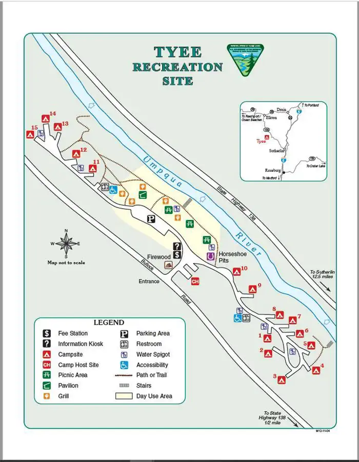
As you enter this recreation site from Bullock Road, you’ll see a firewood hut (a large step up from the road), a fee station, an information kiosk on the left and a camp host on the right, and a fork in the road just ahead. Take the left fork to park at the central day-use area. Continue to the left for campsites 11-15. Campsites 1-10 are reached by taking the right fork as you enter the recreation site. No cellphone service is available, but the site has potable water.
Day-use area
The parking lot for the day-use area is paved and has about 20 striped spots, 1 of which is designated as accessible. Two accessible water spigots with lever valves are in the day-use area—one centrally located near the stairs to the river and the other on the right (southeast) near the horseshoe pits.
A large reservation-only pavilion sits at the far-left end (northwest) of the parking lot. It has 6 picnic tables on the concrete surface in the pavilion and 2-3 picnic tables and 2 grills scattered in the grassy area. Some of the tables have an extended top to accommodate visitors in wheelchairs. Along one side of the pavilion is a wood countertop with a sink that may be too high to be easily accessed by visitors using wheelchairs or scooters.
Campground
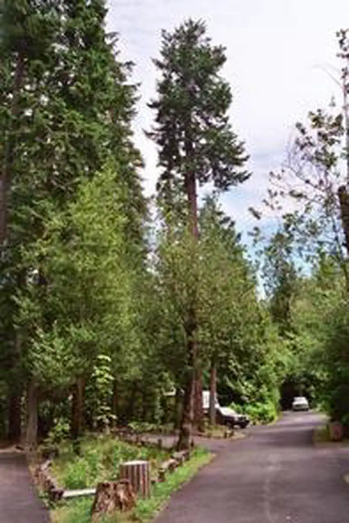
A paved access road and asphalt and natural surface pathways provide access to 15 campsites distributed throughout the site. Five of these campsites are to the left of the day-use area (north fork) and 10 are to the right of the day-use area (south fork). Some of the pathways have been damaged and may pose challenges for visitors with mobility impairments.
At the individual campsites, the width of the parking spurs varies. The spurs for campsites 3, 4, 5, 8, 9, 10, 13, and 15 are wide enough to accommodate vehicles with a side lift or ramp for a mobility device. Campsite 10 is located along the access drive where a vehicle can be pulled alongside the campsite.
The campsites have sand-surface tent pads, fire rings, and picnic tables, some of which have extensions to accommodate wheelchair users.
The site has 2 accessible unisex double vault toilets; one is between the pavilion and campsites on the north fork, the other is near campsite 1 on the south fork. The north fork has 2 accessible water spigots with lever valves; the south fork has 3 accessible water spigots.
Access to the Umpqua River is via stairs in the center of the day-use area and at the southeast end of the campground between campsites 4 and 5. This site doesn’t have any accessible paths to the river; however, a paved path leads to an overlook of the river. Parts of the path are damaged so visitors with mobility impairments will need to evaluate its accessibility.
Descriptions and photos uploaded October 2024. Please note that actual on-the-ground conditions may vary due to natural events (e.g., weather, wildfires, erosion), normal wear and tear, or site improvements.
Contact Us
Activities
Addresses
Geographic Coordinates
Directions
Fees
$14 per night

