
Lost Arch Historic Mining Camp | California
Within the Turtle Mountains Wilderness is located the Turtle Mountain National Natural Landmark an area of land recognized for its exceptional geological value and an area held in high spiritual value by the Native American Tribes of the Southwest. Mexican Hat Trail is a small portion of a greater trail which once linked centuries of travelers to the Colorado River. If the hike to the top of the trail doesn't appeal to you, an ADA compliant ramada and picnic table are available for day use and camping at the Lisa Dawn or Brown's Cabin developed campsites. Photographers love this area. In the spring cacti floral displays are bountiful within the surrounding area. History buffs practice black and white imagining, and if patience, wildlife will present the public with many photo opportunities
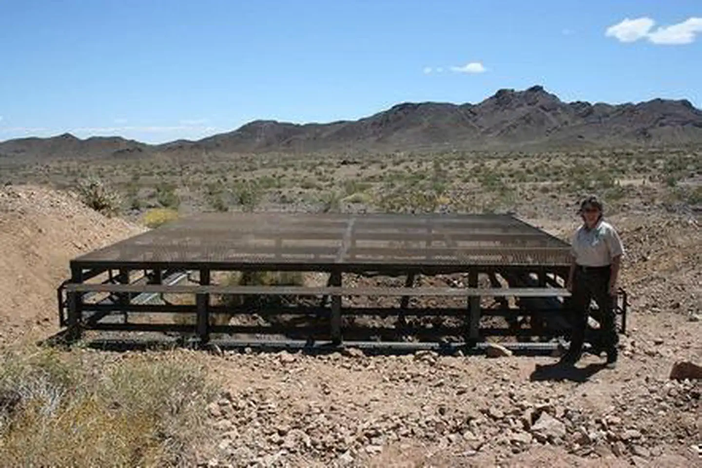
Photos
Contact Us

Activities


Addresses
Bureau of Land Management
Needles Field Office
1303 S. Highway 95
Needles
California
92363
Directions
From Needles, CA, take U.S. Highway 95 south approx. 20 miles to BLM Route NS434 - Turtle Mountain Road. Turn right on NS434 and drive approx. 10 miles to BLM Route NS477 - Lost Arch Inn Road. Veer left onto NS477 and drive approx. 1 miles to BLM Route NS480 - Browns Camp Trail. Turn left onto NS480 and drive approx. 2 miles to the Lost Arch Inn. An information kiosk will be on your left hand side.