
Jarbidge Wild and Scenic River | Idaho
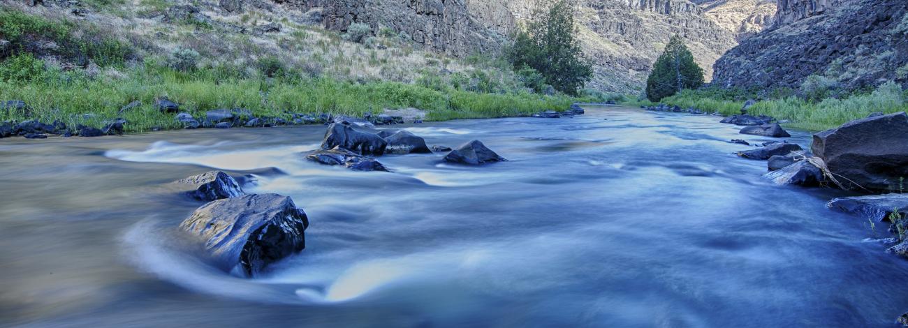
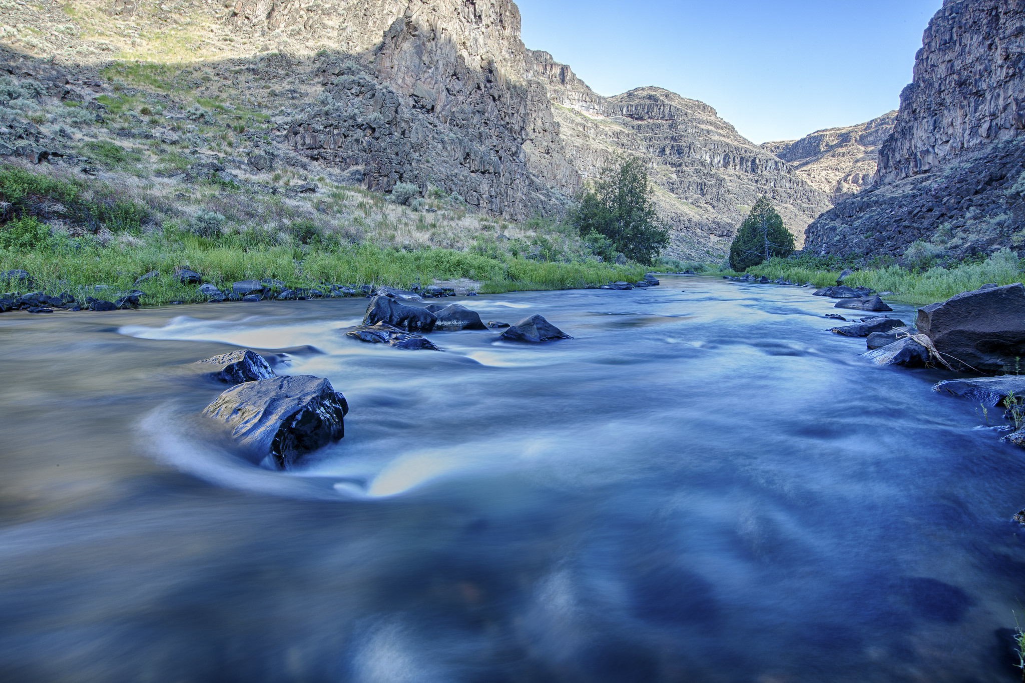
Hidden within a vast high desert plateau are deep canyons carved by the Owyhee, Bruneau and Jarbidge Rivers in a remote area of southwestern Idaho. Nearly 30 miles of the Jarbidge River is designated as wild. Volcanic caves, canyons and spire-like hoodoos tower hundreds of feet above whitewater rafters in this unique environment of unsurpassed solitude and unique beauty. In early spring, this area brightens up with beautiful desert flowers contrasted sharply against the dark volcanic rock. The sagebrush plateaus of the Owyhee Uplands provides habitat for over 200 species of wildlife. Soaring eagles and hawks can often be seen flying over the skylines and nesting along the cliff faces here. The ancestors of the Shoshone-Paiute and Shoshone-Bannock people have used these canyonlands for thousands of years for shelter, weaponry, fish and game and water. From placid pools to turbulent whitewater; from vertical cliffs to steep grassy slopes, this area presents visitors with challenging and extraordinary experiences. The Jarbidge River joins with the West Fork Bruneau River to form the Bruneau River about 24 miles north of the Nevada border, just upstream of Indian Hot Springs. The Jarbidge River provides challenging whitewater for experienced boaters during the spring with stretches of class 5 and 6 difficulty. This river lies within a canyon with steep walls and statuesque rock formations. Golden eagles are commonly seen and chukars are abundant.
Photos
Know Before You Go
Related Links
Wild and Scenic Rivers
Contact Us

Activities


Addresses
Directions
Travel to Murphy Hot Springs via the Clover-Three Creek Road or the Jarbidge Road. The Jarbidge Road, also called Three Creek Highway, has an asphalt surface and originates from U.S. 93 at Rogerson, Idaho. From Rogerson to Murphy Hot Springs it is 49 miles and from Murphy Hot Springs to the wilderness boundary, it is another 2.3 miles. Use BLM Sheep Creek 1:100,000 scale map.