
Ironwood Forest National Monument | Arizona
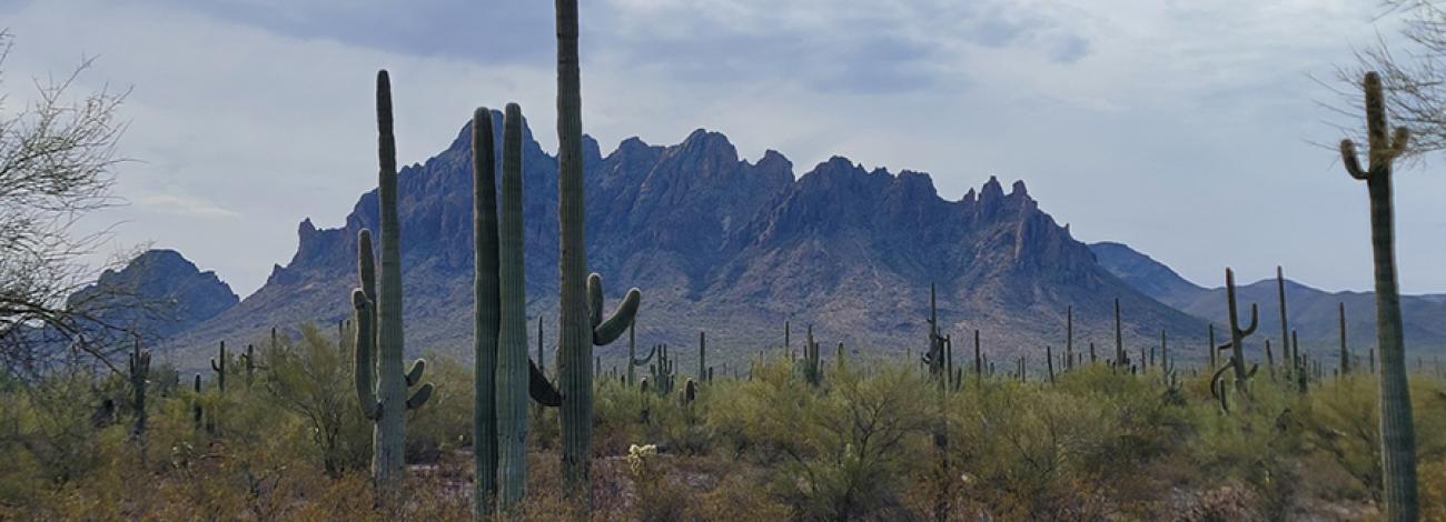
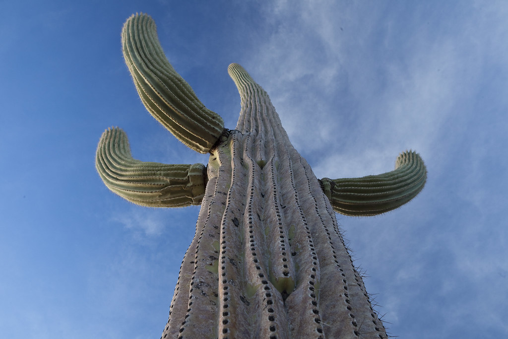
The Ironwood Forest National Monument, which takes its name from one of the longest living trees in the Arizona desert, is 189,600 acres, of which 128,400 acres are administered by the Bureau of Land Management (BLM) with the balance of land privately owned or State Trust land. Keeping company with the ironwood trees are mesquite, palo verde, creosote, and saguaro, blanketing the monument floor beneath rugged mountain ranges named Silver Bell, Waterman and Sawtooth. In between, desert valleys lay quietly to complete the setting.
Elevations here range from 1,800 to more than 4,200 feet. Ragged Top Mountain is the biological and geological crown jewel of the monument. Several endangered and threatened species live here, including the Nichols turk’s head cactus and the lesser long-nosed bat. The monument also contains habitat for the cactus ferruginous pygmy owl. The desert bighorn sheep dwelling in the region are the last viable population indigenous to the Tucson basin.
Three areas within the monument, the Los Robles Archeological District, the Mission of Santa Ana del Chiquiburitac and the Cocoraque Butte Archaeological District, are listed on the National Register of Historic Places. The area holds abundant rock art sites and other archaeological objects of scientific interest. Humans have inhabited the area for more than 5,000 years. More than 200 sites from the prehistoric Hohokam period (600 A.D. to 1440 A.D.) have been recorded in the area. In more modern times, the area was a source of minerals and continues to support active mining operations today.
Safety and Conditions
There is no first-aid available on site. The nearest hospitals are in Tucson or Casa Grande.
Hazards include venomous snakes, Africanized bees, and potential encounters with illegal users of public land.
The monument is a travel corridor for undocumented immigrants traveling from Mexico. All suspected illegal activities should be reported to BLM or local law enforcement authorities. Stay safe by avoiding contact with persons exhibiting suspicious behavior or engaged in dangerous activities.
Drive with caution and look for fast-moving vehicles and pedestrians on back roads. Some roads are rugged: high clearance or four-wheel-drive vehicles are recommended in those areas.
The Ironwood Forest National Monument contains state trust lands and private lands. Recreation on state trust lands requires a permit from the State of Arizona. Visitors should not trespass on private lands. Contact the Tucson Field Office for additional information.
Flickr Album
Accessibility Description (ABA/ADA)
There are no developed facilities at the Ironwood Forest National Monument.
Contact Us

Activities


Addresses
Directions
The Ironwood Forest National Monument is located 25 miles northwest of Tucson, and about one hour by highway south of Phoenix. There are two main points of entry: Interstate 10 at Avra Valley Road, and Interstate 10 from the Red Rock exit, southwest on Sasco Road to Silverbell Road.
From Tucson, take Interstate 10 west to Marana. Take Exit 236, turn left on Sandario Road for 0.1 mile, then turn right on Marana Road and go west about 5.8 miles to Silver Bell Road. Continue on Silver Bell Road to travel through the Ironwood Forest National Monument. Visitors can return to I-10 at Sasco Road.
Fees
There are no permits or fees required to visit the Ironwood Forest National Monument.
However, commercial, competitive, and large organized group events require a special recreation permit. Contact the Tucson Field Office for more information about special recreation permits.
Recreational activities on nearby state trust land require a permit from the State of Arizona.