
Gold Belt Recreation Management Area | Colorado
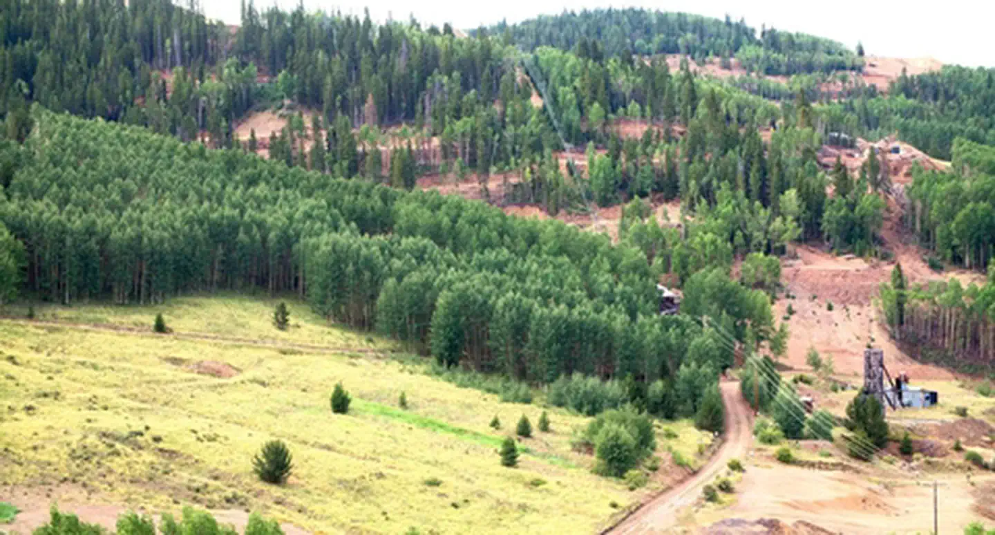
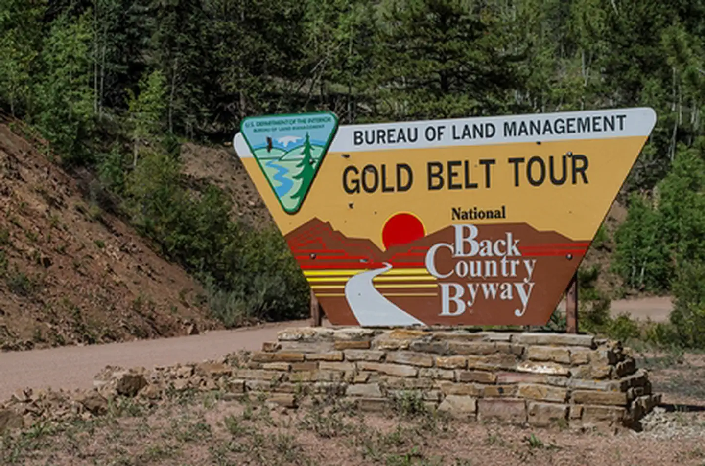
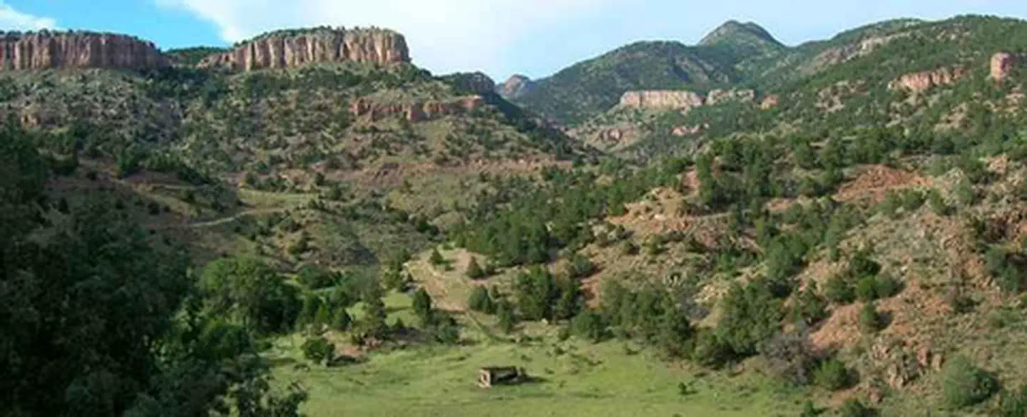
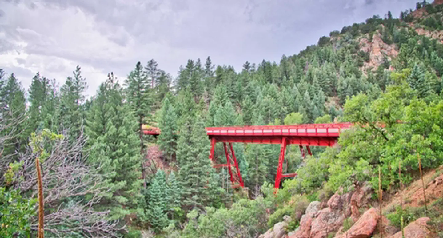
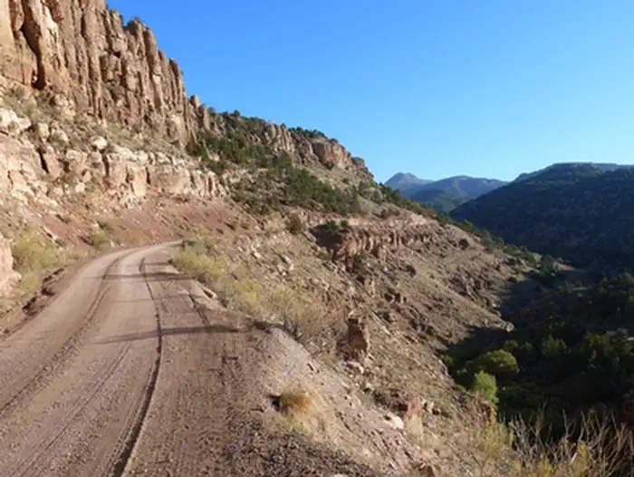
The Gold Belt Tour National Scenic Byway retraces the historic travel routes for the World’s Greatest Gold Camp, Cripple Creek. Travel on a historic, narrow-gauge railroad bed, an old stage road, and a county road on the Byway. The three legs of the route, which form a loop, have a total length of about 131 miles of historic sites, museums and recreation sites. For more information, please contact the Royal Gorge Field Office.
Photos
Contact Us

Activities


Addresses
Royal Gorge Field Office
3028 E. Main Street
Canon City
Colorado
81212
Directions
The Byway is located just 1 hour from Colorado Springs or Pueblo, Colorado. From the north, it can be reached from U.S. Highway 24; the southern end can be reached from U.S. Highway 50.
Stay Limit
14 days