
Dirty Devil | Utah
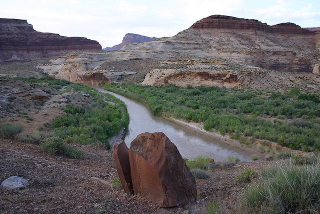
The Dirty Devil Wilderness Study Area is 61,000 acres extending 19 miles northwest to southeast and 10 miles from east to west. The study area includes a portion of the canyon of the Dirty Devil River along the western side of the WSA.
The unit has diverse recreational opportunities, many of which are outstanding in quality. These opportunities include hiking, backpacking, horseback riding, photography, nature study, camping, scenic sightseeing, and viewing geologic formations and archaeological structures. Numerous hiking routes, totaling more than 100 miles, allow for extended trips. Many camping sites in the canyons offer shelter under rock overhangs. The slickrock areas offer excellent opportunities for sightseeing and photography.
Flickr Album
Contact Us

Addresses
Directions
The Dirty Devil WSA is located in eastern Wayne County, about 5 miles east of Hanksville, UT.