
Clipper Mountain Wilderness | California
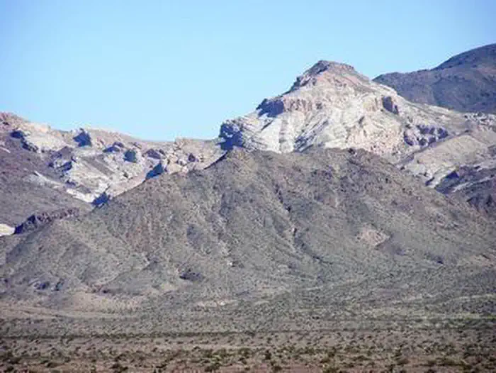
The Clipper Mountain Wilderness encompasses rugged yellow and dark brown, horizontally striped mesas; narrow canyons with hidden springs; and sparsely vegetated alluvial fans. The small cluster of volcanic mountains is oriented northeast to southwest. In the center, the most prominent ridge, Clipper Mountain, reaches an elevation of 4,625 feet before it dramatically drops off in a series of sharp cliffs overlooking the Clipper and Fenner Valleys. Castle Dome, a local landmark, can be clearly seen from Historic Route 66 to the south and east. Wildlife includes a herd of 40-50 bighorn sheep, coyote, black-tailed jackrabbits, ground squirrels, kangaroo rats, roadrunners, chucker, quail, prairie falcons, red-tailed hawks, golden eagles, rattlesnakes, and several species of lizards. The entire wilderness is located in Critical Tortoise Habitat. The wilderness is located eastern corner of the sector and consists of 33,844 acres. Access to the area is limited. It is bordered by I-40 on the north and a gas pipeline on the south.
Photos
Contact Us

Activities


Addresses
Bureau of Land Management
Needles Field Office
1303 South U.S. Highway 95
Needles
California
92363
Directions
From Needles, CA, take I-40 west approx. 25 miles to the Mountain Springs Road exit. Exit south and take National Trails Highway west approx. 20 miles to BLM Route NS203. Turn right on NS203 and follow it approx. half a mile. The wilderness area will be on your right hand side.