
MOUNT ELLEN-BLUE HILLS WILDERNESS STUDY AREA
Values
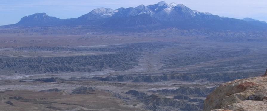
The Blue Hills, in the northern and western portion of the WSA, are low mesas and barren badlands carved by erosion from blue-gray marine shales. The Mt. Ellen portion of the WSA consists of steep slopes and rounded peaks, including Mt. Ellen, with large basins and wide canyons. Mt. Ellen is the highest point of the Henry Mountains (11,522 feet), well-known in American geology for classical studies of intrusive mountain structures, upturned sedimentary rocks, and stream gradients. Mt. Ellen is the largest structural dome in the Henry Mountains, with a diameter of 12 to 15 miles. The higher elevations of Mt. Ellen offer outstanding vistas of the geology of central Utah and the entire Waterpocket Fold. Portions of Mt. Ellen are summer range for the free-roaming Henry Mountain bison herd. The isolated, rugged terrain is habitat for cougar and mule deer, wildlife species frequently associated with wilderness.
Visitation Information
Located in south-central Wayne and northeastern Garfield Counties, about 15 miles southwest of Hanksville, UT on the north end of the Henry Mountains.
Visitor Advisory
Mount Ellen-Blue Hills WSA is on the Henry Mountains. Access to the Henry Mountains, including this WSA, is limited and requires four wheel drive. Roads are generally steep, rocky, narrow, and are of natural surface. Cell service is unreliable. Be prepared for such conditions.