
DANIELS CANYON WILDERNESS STUDY AREA
Values
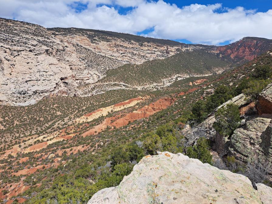
Daniels Canyon is an east-west trending canyon with high vertical walls. Elevations in the WSA range from 5,600 feet on Cub Creek to 7,720 feet on the eastern boundary. Pinyon-juniper woodland, intermixed with sagebrush, predominates in the WSA. The upper northern slopes consist of heavy shrub cover of mountain mahogany, serviceberry, and big sagebrush. Scattered pinyon trees also grow here with densities of both juniper and pinyon increasing at lower elevations. At the highest elevation and on the eastern and northern edges of the WSA are small stands of Ponderosa pine. The flat canyon bottoms consist of greasewood, big sagebrush, and various grasses. Surrounding the spring and along the stream in lower Daniels Canyon are patches of box elder trees.
Visitation Information
Daniels Canyon WSA is located in Uintah County approximately 22 miles east of Vernal, Utah. Due to its relatively easy access from Highway 149, the area offers a prime opportunity to explore beautiful areas and obtain unique views into Dinosaur National Monument. The WSA is bounded on the north by Docs Valley Road and lands managed by the State of Utah, the west by Dinosaur National Monument and the east by private lands.
Visitor Advisory
Visitors should come prepared for backcountry conditions and adequately prepare for their trip. Knowledge of weather, terrain, and physical conditions can help ensure safety.
Flickr Album
