
Lookout Butte Wilderness Study Area
The Lookout Butte WSA is located in the southeast corner of Malheur County, Oregon, and the southwest corner of Owyhee County, Idaho. It lies approximately 50 miles south of Jordan Valley, Oregon, and 25 miles east of Nevada. It is approximately 15 miles long and 10 miles wide. The boundary of the WSA consists of both high and low standard roads, a way in the southeastern portion of the WSA, and one adjacent parcel of State land. There are no end roads that enter the WSA.
The study area contains 99,600 acres of public land including 65,200 acres in Oregon and 24,400 acres in Idaho; this total includes 3,950 acres of split-estate land. In addition, within the boundary of the WSA are two 640-acre parcels of land owned by the state of Idaho. The Idaho portion is studied in the Idaho Wilderness Study Report.
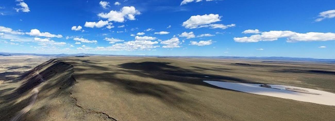
The WSA is a large, flat-to-gently rolling area containing several playas and four, gently-sloping buttes. Defeat Butte (5,710 feet) in Oregon is located near the center of the study area. Lookout Butte (5,640 feet) is 2 miles west of Defeat Butte. South of Lookout Butte is Lookout Lake, the largest in the WSA, which is more than 2 miles long and 1 mile wide. An unnamed butte lies 1 mile southwest of Lookout Butte. Spring Butte (5,515 feet) is located in the northeast corner of the portion of the study area in Idaho. Spring Creek crosses the eastern boundary through a shallow draw, about 3 miles south of Spring Butte. In the southwest corner of the WSA, Tent Creek forms a small canyon which disappears and then reappears in a twisting configuration in the southeast corner of the study area. Midway along the eastern boundary, a low rim extends east from Stoney Corral. It is located along the headwaters of Creek.
Except for the buttes and a portion of Tent Creek canyon, none of the features are pronounced. Vegetation consists primarily of sagebrush, grasses and scattered herbaceous perennials.
The WSA was studied under Section 603 of the Federal Land Policy and Management Act (FLPMA), and was included in the Final Oregon Wilderness Environmental Impact Statement (EIS) filed in February 1990.


