
Dry Creek Buttes Wilderness Study Area
Dry Creek Buttes Wilderness Study Area (WSA) (OR-3-56) is located in Malheur County, Oregon, 30 miles southwest of Vale, Oregon and U.S. Highway 20. The study area parallels the west side of Owyhee Reservoir for more than 20 miles.
The WSA contains 49,880 acres of BLM land and three parcels of split-estate land totaling 1,920 acres. The northwestern and western boundaries of the WSA are formed by approximately 23 miles of high-standard or maintained dirt roads and 2 miles of substantially noticeable ways. The southern and eastern boundaries are formed by approximately 32 miles of Bureau of Reclamation lands and 2 miles of private land. Dry Creek WSA (OR-3-53) is adjacent to the northwest boundary of Dry Creek Buttes WSA for approximately 6 miles. The two are separated by a road. Across from Dry Creek Buttes WSA, and located on the east side of Owyhee Reservoir, are the additional of Upper Leslie Gulch Slocum Creek Honeycombs (OR-3-77A) and Wildhorse Basin (OR-3-77B).
There are five vehicular ways totaling 8 miles in the northern part of the WSA. One 1-mile dead-end road, and two substantially noticeable vehicular ways about a half mile each, penetrate the WSA in the Sand Hills area and form part of the western boundary. In the southern portion of the study area, 17,600 acres have been designated an off-road vehicle (ORV) closure area so that fragile soils, geologic features and wildlife habitat may be protected. The ORV closure includes North Table Mountain, South Table Mountain, Red Butte and the area surrounding these landmarks.
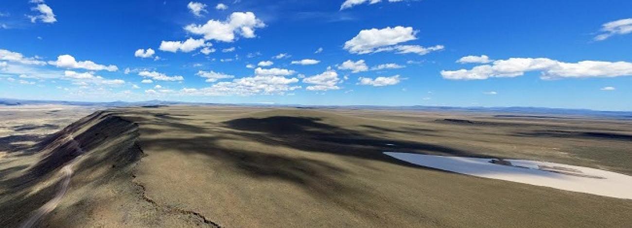
The WSA is a rugged area of varied terrain. Numerous gulches and ravines cut through the landscape, ultimately draining into Owyhee Reservoir. The result is a complex pattern of twisting drainages separated by hills and ridges of varying steepness and height. Rock outcrops and are scattered throughout the WSA, but are especially prevalent along Owyhee Reservoir and the southern portion.
Major physical features in the study area are Red Butte, Dry Creek Buttes, Sand Hills, North Table Mountain, South Table Mountain, and Nanny’s Nipple. Action Gulch, Deadman’s Gulch and an unnamed 4-mile-long drainage 2 miles south of Gulch containing several small waterfalls are the area’s major drainages.
The southern half of the WSA is more rugged than the northern half. The landscape is more dissected, and the drainages are usually more incised. The highest concentration of pinnacles and rock outcroppings occur in the south. Typical vegetation in the WSA is sagebrush and bluebunch wheatgrass.
Dry Creek Buttes WSA was studied under Section 603 of the Federal Land Policy and Management Act (FLPMA), and was included in the Final Oregon Wilderness Environmental Impact Statement (EIS) filed in February 1990.


