
Bridge Creek Wilderness Study Area
The Bridge Creek Wilderness Study Area (WSA) (OR-2-87) is located about 60 miles south of Burns and 3.5 miles east of Frenchglen in Harney County. The area is about 3.5 miles east of Oregon State Highway 205 and is adjacent to the northern section of the Steens Mountain Loop Road.
The study area contains 14,325 acres of BLM land in a roughly square configuration. Within the study area is a 40-acre parcel of private land situated in the southeastern corner, and 485 acres of split-estate land located in the northern portion.
The boundary line on the north and south is formed by BLM roads. The western boundary line is formed by BLM public land with crested wheatgrass seedings and the boundary line of the Malheur National Wildlife Refuge, while the eastern side of the study area is bounded entirely by private land. Also forming part of the western boundary line is a dead-end road which extends toward the center of the study area for over 2 miles. Two dead-end roads totaling 4 miles are located in the WSA.
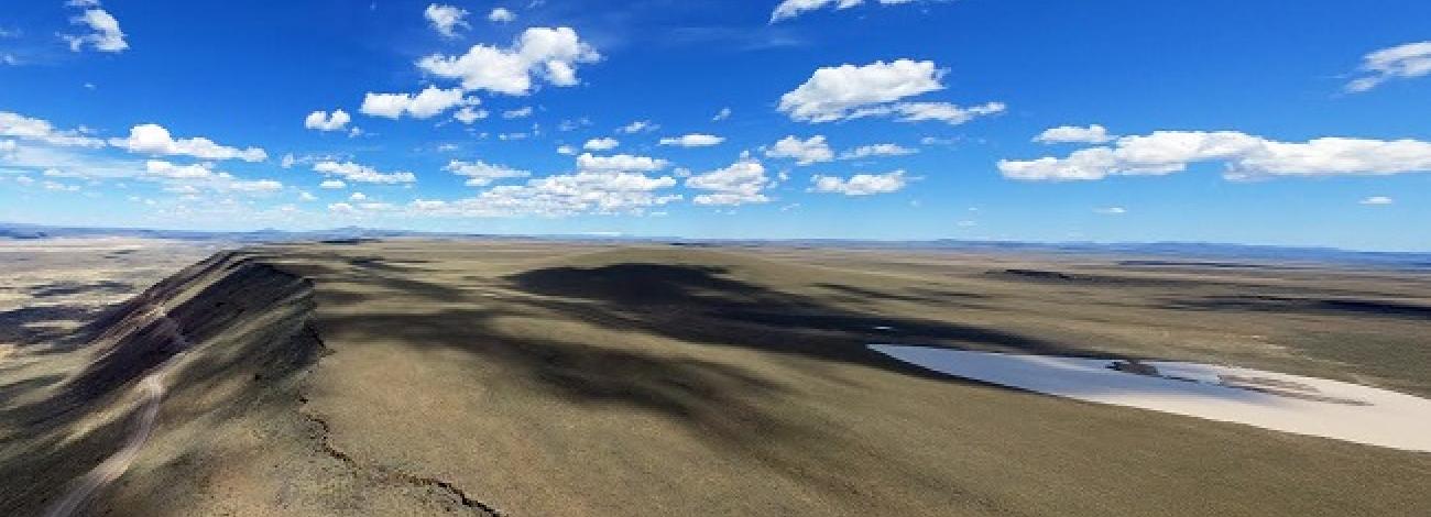
The Bridge Creek WSA lies on the western face of the Steens Mountain Fault Block, sloping gently from east to west. The highest point in the study area is at the northeastern corner at 6,060 feet, while the lowest elevation is on the northwestern boundary at 4,260 feet.
The study area is deeply carved by two prominent drainages, Bridge Creek and Mud Creek, which dissect the study area from east to west; they are the primary topographic features of the WSA. Both are steep canyons with sheer, darkly colored rock walls which reach a maximum depth of 400 feet in Mud Creek. The average depth of the canyons is about 175 feet in Bridge Creek and 200 feet in Mud Creek. Mud Creek and the lower 4 miles of Bridge Creek are perennial streams. The upper portion of Bridge Creek is intermittent.
Most of the land which lies between the drainages is flat to gently rolling. A number of small drainages cut through the flatter terrain prior to entering Bridge or Mud Creeks.
The dominant vegetation in the Bridge Creek WSA is big and low sagebrush and western juniper. Riparian vegetation occurs along Mud Creek and the lower portion of Bridge Creek.
The WSA was initially studied under Section 603 of the Federal Land Policy and Management Act (FLPMA). Lands added after the wilderness inventory were studied under Section 202, also of FLPMA. These areas were included in the final Oregon Environmental Impact Statement (EIS) filed in February 1990.


