Evaluation of Fractional Vegetation Cover Products

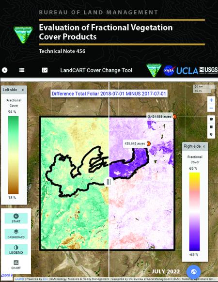
Fractional vegetation cover estimates can help land managers better understand vegetation composition and change over time. Recognizing the value in fractional vegetation cover datasets for rangeland management, multiple research groups have leveraged extensive satellite imagery and field sampling collections to develop regionwide fractional cover datasets of key vegetation indicators. This technical note presents the analysis of three major products that estimate fractional vegetation cover and are supported, to varying degrees, by the Bureau of Land Management: Landscape Cover Analysis and Reporting Tools (LandCART); Rangeland Condition, Monitoring, Assessment, and Projection (RCMAP); and Rangeland Analysis Platform (RAP). The purpose of this analysis is to evaluate the fractional vegetation cover data products for redundancy and appropriate use by natural resource programs for decision making. Each product was evaluated qualitatively, through a literature review and informal conversations with current and potential users, and quantitatively, through an independent accuracy assessment. Accuracy estimates, from both the independent accuracy assessment and published validations, show that LandCART, RCMAP, and RAP are acceptably accurate overall for most of the compared indicators. A clear “best” product was not determined among the three, as each has different strengths and weaknesses. All three products offer improvements on past datasets and possible future analyses and provide valuable context for natural resource management and decision making when utilized as one of many lines of evidence.
