Geospatial Program
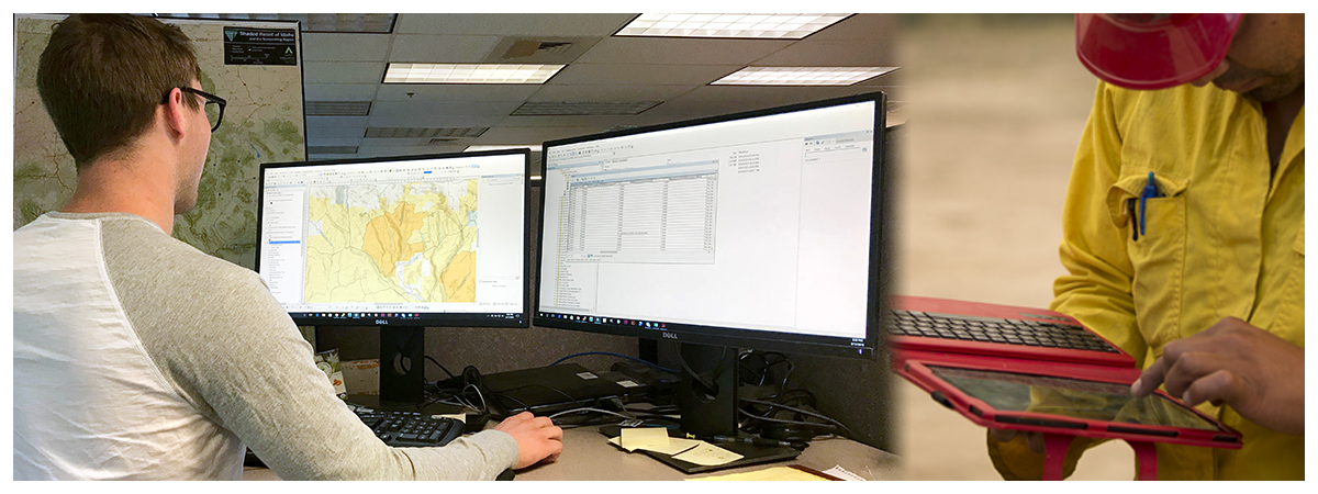
Managing 245 million acres of land and 700 million acres of mineral estate is a big task. The BLM recognizes that geospatial information is a critical tool for managing public lands. We’ve already made great strides in creating national datasets, supporting almost every program in the Bureau. The BLM has adopted a ground-up approach to managing public lands, and the geospatial program is providing the structure and tools to accomplish this strategy. We manage spatial data to support multiple activities at varying scales.
The BLM's geospatial strategy focuses on collection, organization, and use of baseline resource management data, like fenceline and transportation data and enhancing predictions based on geospatial data. Examples of activities that require geospatial data include planning and resource management, special status species monitoring, regional mitigation, and renewable energy projects, just to name a few.
An important factor in implementing our strategy is using a geographic information system (GIS) that is consistent and integrated within the Bureau and the Department of the Interior. This internal cohesion enhances the BLM's ability to partner with other Federal agencies, collaborate with State and Tribal governments, and communicate with the public.