
Pinedale Anticline Project Office Monitoring and Mitigation Project Summary
The Pinedale Anticline Natural Gas Field is located in the Upper Green River Basin of west-central
Wyoming, south of Pinedale. The Anticline’s 198,000 acres of rolling sagebrush are 80 percent
federally owned. The area has one of the richest concentrations of natural gas in the United States,
currently estimated at more than 25 trillion cubic feet.
The Pinedale Anticline Project Office (PAPO) was created by the Pinedale Anticline Project
Record of Decision (ROD) to provide overall management of on-site monitoring and off-site
mitigation activities. The PAPO obtains, collects, stores, and distributes monitoring information
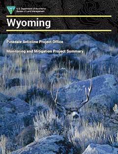
to support the adaptive management process and analyzes mitigation projects primarily focusing
on mule deer, pronghorn and Greater sage-grouse, but also addresses raptor, pygmy rabbit, and
white-tailed prairie dog habitat.
The PAPO is staffed with employees of the Wyoming Department of Agriculture, Wyoming Game
& Fish Department, Wyoming Department of Environmental Quality and the Department of the
Interior/Bureau of Land Management.
This document is a compilation summarizing PAPO-funded projects, mitigation and monitoring
that is either completed or in progress at this time. Many of these projects are in partnership with
other community non–profit organizations, private sector businesses and residents, and local
government.
Funds for the PAPO mitigation and monitoring projects are held by the Wyoming Community
Foundation in a trust account and are administered by the PAPO.