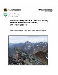
Mineral Investigations in the Aniak Mining District, Southwest Alaska, 2003 Field Season

The Aniak Mining District study area encompasses approximately 27 million acres (11 million hectares) in southwestern Alaska and includes part of the adjacent Anvik, Iditarod, Innoko, Marshall, and McGrath mining districts. The district contains over 400 mineral deposits and prospects, including those located in the historic mining areas of Iditarod-Flat, Nyac, Crooked Creek-Donlin Creek, Candle Creek, Ganes Creek, Nixon Fork, Illinois Creek, and Red Devil. Due to the size of the study area, the district was divided into three parts: the northeastern, central, and southwestern.
In 2003, the Bureau of Land Management (BLM) began a multi-year mineral resource assessment of the Aniak Mining District by examining the northeastern part of the district. BLM geologists located, mapped, and/or sampled 100 of the 208 documented sites in this part of the study area. During the field season 351 rock, pan concentrate, stream sediment, soil, and placer samples were collected and analyzed.
Sites containing elevated metal values include: gold, silver, copper, and zinc at Badnews; silver, copper, and zinc at Bowser; nickel and copper at Chip Loy; gold, silver, and zinc at Crash North; gold, silver, copper, and zinc at Dall; placer gold at Fourth of July Creek; gold at Independence Mine area; gold and lead at Kaatz Prospect; gold at Little Creek; placer gold at Mackie Creek; placer gold at Moore Creek; gold and copper at Nixon Fork (Mespelt Mill) tailings; platinum and palladium at Roberts PGM; gold at Telephone Hill (Tele) Prospect; gold and silver at Terra/Fish Creek area; and gold, silver, copper, and tin at Win.
