


Decades-long Access Issue Resolved at Pike Ridge Near Rangely
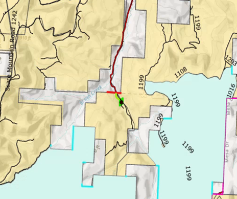
RANGELY, Colo. – For more than 40 years, a locked gate at the end of Rio Blanco County Road 27 complicated public access to thousands of acres of Bureau of Land Management land south of Rangely. Hunters, anglers and other visitors could reach the area on foot, but the nearest available parking was nearly two miles away.
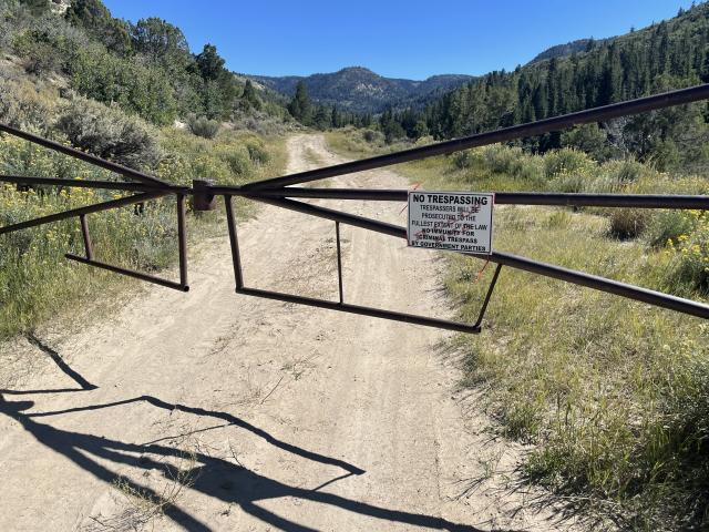
That changed last fall when the gate was removed, reopening vehicle access for the first time since the 1980s. Now, a partnership between the BLM White River Field Office and Rio Blanco County has completed improvements that make it easier for visitors to reach Pike Ridge while protecting the area's natural resources.
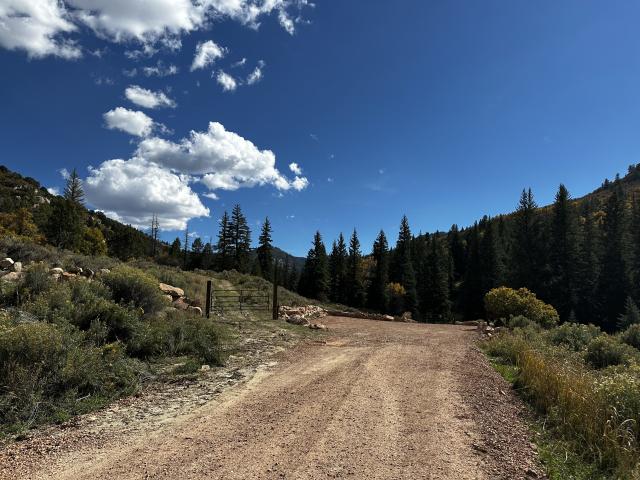
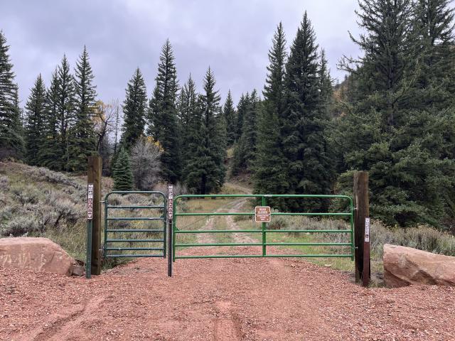
The project, completed Oct. 6, includes road maintenance, a designated parking area, new gates, a visitor information kiosk and signs identifying where motorized and nonmotorized travel is permitted.
Getting to this point took years of research, planning and coordination.
The effort began in 2021, when a BLM outdoor recreation planner started looking into recurring questions from visitors about why access was restricted. County maps identified the route as Rio Blanco County Road 27, but a gate installed decades earlier had prevented vehicles from continuing into the area.
Determining the road's status required examining historical county records, surveys, road inventories, land records and other documents dating back nearly a century. A cadastral survey completed in March 2025 confirmed the route's status as a county road, providing the information needed to move forward.
In October 2025, BLM staff coordinated the removal of the gate. For the first time in more than four decades, visitors could drive the route to reach public lands beyond it.
“For years, people knew these public lands were here, but getting to them wasn't easy,” said San Delana Riebold, BLM White River Field Office Outdoor Recreation Planner. “I grew up in this area, so I knew how important this access was to the community. It took a lot of research and coordination to get here, but seeing that gate come down after more than 40 years made it worth the effort.”
But reopening the road was only part of the work. The BLM also needed a place where visitors could safely park and access the surrounding public lands without creating new impacts to the landscape.
Rio Blanco County Road and Bridge crews helped design and construct the parking area, providing heavy equipment, operators, gravel, boulders and erosion control measures. BLM employees installed two vehicle gates, a pedestrian and equestrian access gate, a kiosk and signs.
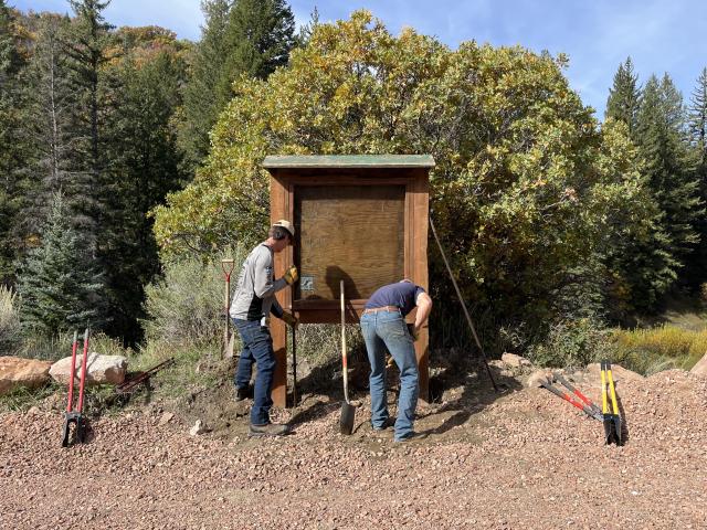
The work was completed through a Good Neighbor Authority partnership, which allows the BLM to work with eligible local governments on projects benefiting public lands. BLM crew labor and materials were funded through a Colorado Parks and Wildlife motorized trail grant.
“This project is a win for both the county and the public,” said Antina DiBenedetto, Deputy Director with Rio Blanco County Public Works. “The improvements give our crews a safer place to turn around snowplows in the winter and heavy equipment during summer road maintenance. At the same time, we're helping make public lands more accessible for everyone.”
Improving access also required careful planning to protect the surrounding landscape. Pike Ridge includes a 7,240-acre nonmotorized travel management area and borders lands recognized for their wilderness characteristics. The new parking area, gates and signs help keep vehicles on designated routes while allowing visitors to explore the surrounding country on foot or horseback.
Nearby East Douglas Creek is an important stronghold for native Colorado River cutthroat trout. Its surrounding watershed lies within an Area of Critical Environmental Concern spanning more than 47,000 acres. The watershed contains approximately 90 percent of the White River Resource Area's BLM-administered Colorado River Cutthroat Trout-Green River Lineage fisheries. Construction was concentrated in previously disturbed areas, with erosion control measures designed to reduce sediment runoff into the creek.
The restored access could also benefit future conservation work. Previous access restrictions complicated efforts to conduct fish studies in East Douglas Creek, and the improvements may make it easier for biologists and other resource specialists to reach the area for monitoring and habitat restoration.
The project also supports the BLM's All Americans Outside initiative, which focuses on expanding opportunities for outdoor recreation, improving public access and encouraging responsible use of public lands.
What began five years ago with questions about a locked gate has resulted in a lasting improvement for hunters, anglers and other visitors, opening the door to a part of Colorado's public lands that had been difficult to reach for decades.
Related Stories
- Where the land meets the road: BLM turned 80 this year, as Route 66 turns 100
- Manatee Awareness Month: Protecting Gentle Giants at the Jupiter Inlet Lighthouse Outstanding Natural Area
- BLM’s Meadowood Special Recreation Management Area Celebrates 25th Anniversary
- BLM Eastern States Celebrate National Public Lands Day with Community Stewardship and Restoration
- National Public Lands Day Paddles, Plants and Caves: BLM Connects Milwaukee Youth with the Outdoors