
Wild Rogue Wilderness | Oregon
The United States Congress designated Oregon's Wild Rogue Wilderness in 1978 and it now has a total of 35,806 acres—approximately 27,111 are U.S. Forest Service lands and 8,600 are Bureau of Land Management lands. The legislation assigned the U.S. Forest Service to manage the entire Wilderness Area.
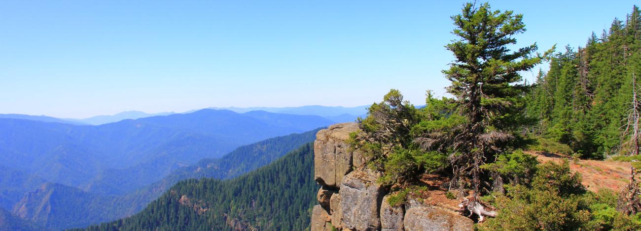
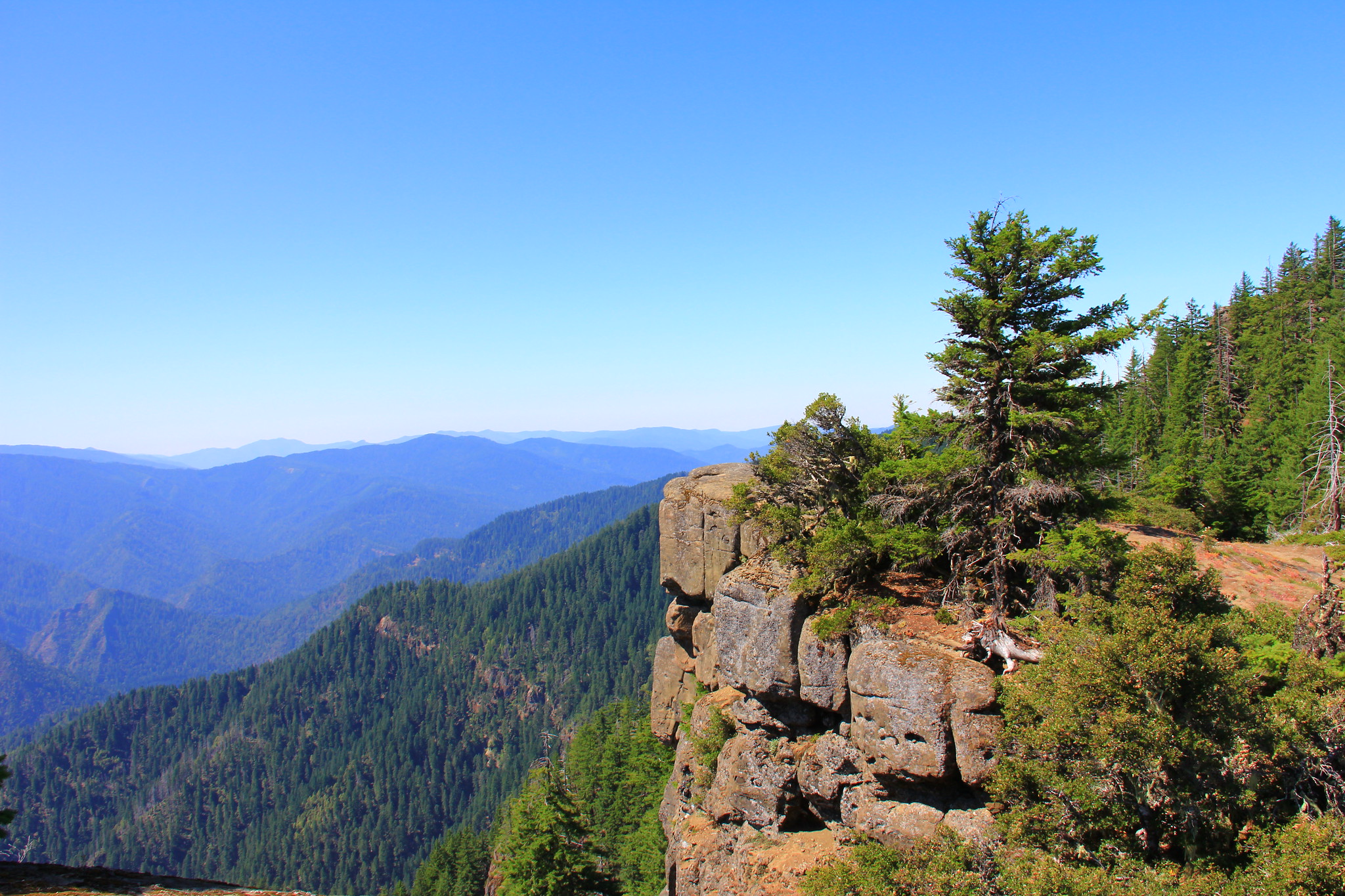
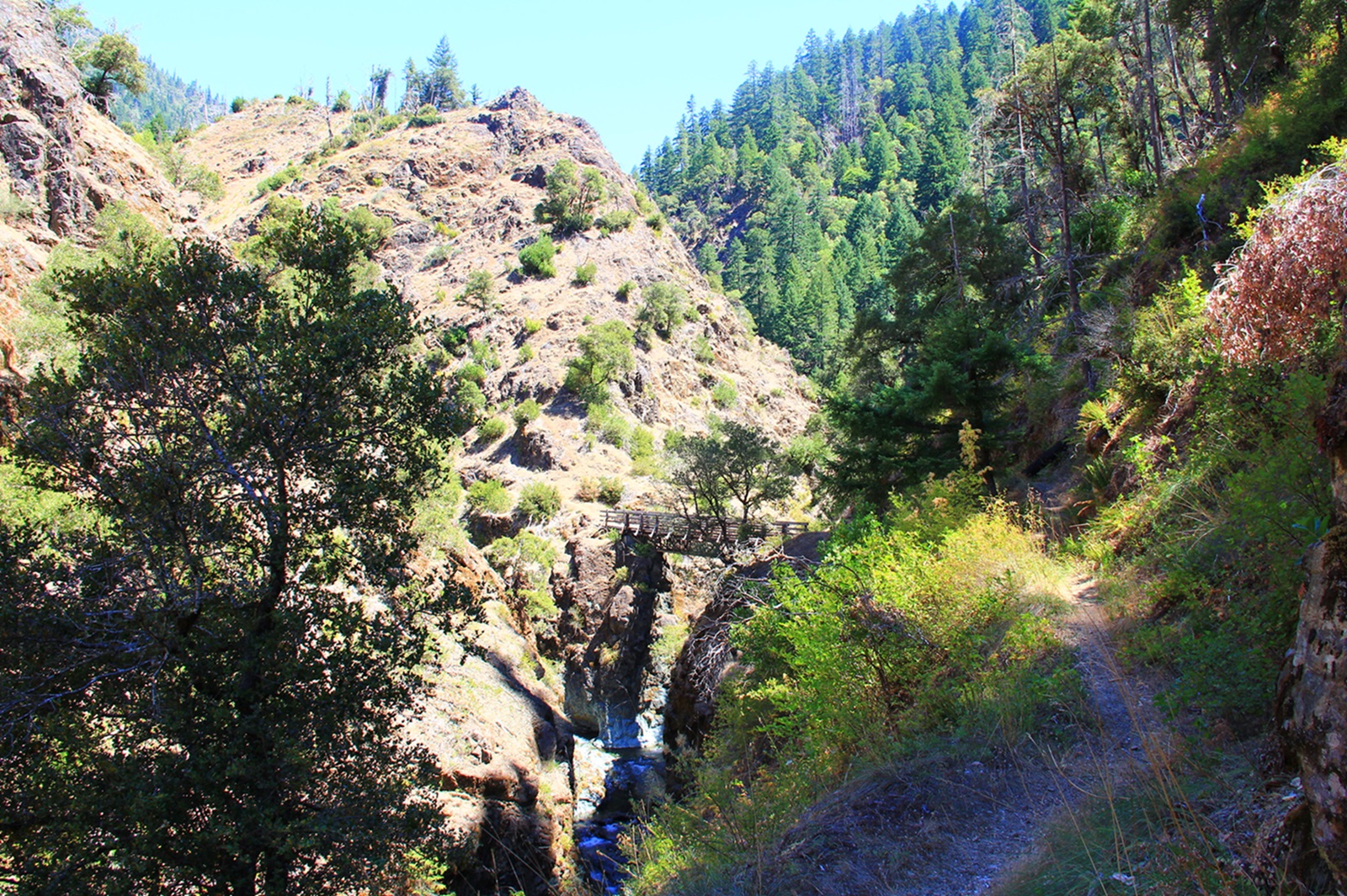
Surrounding the Wild and Scenic Rogue River, the rugged and complex canyon landscape of the Wild Rogue Wilderness provides watershed protection for the Wild portion of the river. The area is characterized by steep terrain of near vertical cliffs, razor-sharp ridges and cascading mountain creeks.
Leave-No-Trace Principles
- Plan Ahead and Prepare
- Travel and Camp on Durable Surfaces
- Dispose of Waste Properly
- Leave What You Find
- Minimize Campfire Impacts
- Respect Wildlife
- Be Considerate of Other Visitors
Regulations
Motorized equipment and equipment used for mechanical transport are generally prohibited on all federal lands designated as wilderness. This includes the use of motor vehicles (including OHVs), motorboats, motorized equipment, bicycles, hang gliders, wagons, carts, portage wheels, and the landing of aircraft including helicopters, unless provided for in specific legislation. In a few areas some exceptions allowing the use of motorized equipment or mechanical transport are described in the special regulations in effect for a specific area. Along the river you may see deer and otters, or even black bears looking for a meal of salmon. Bears, grown accustomed to easy pickings from boaters, may prove a nuisance in numerous campsites. Birds abound, such as fish eating osprey and great blue heron and lizards hasten over the dry slopes above the water. Ticks and rattlesnakes are often encountered.
Know Before You Go
The river corridor is also excellent habitat for poison oak, whose stems and shiny leaves in groups of three can be a problem throughout the year. Mosquitoes are present during a good part of the season and yellow jackets can be a nuisance during the typically hot, rainless summer days.
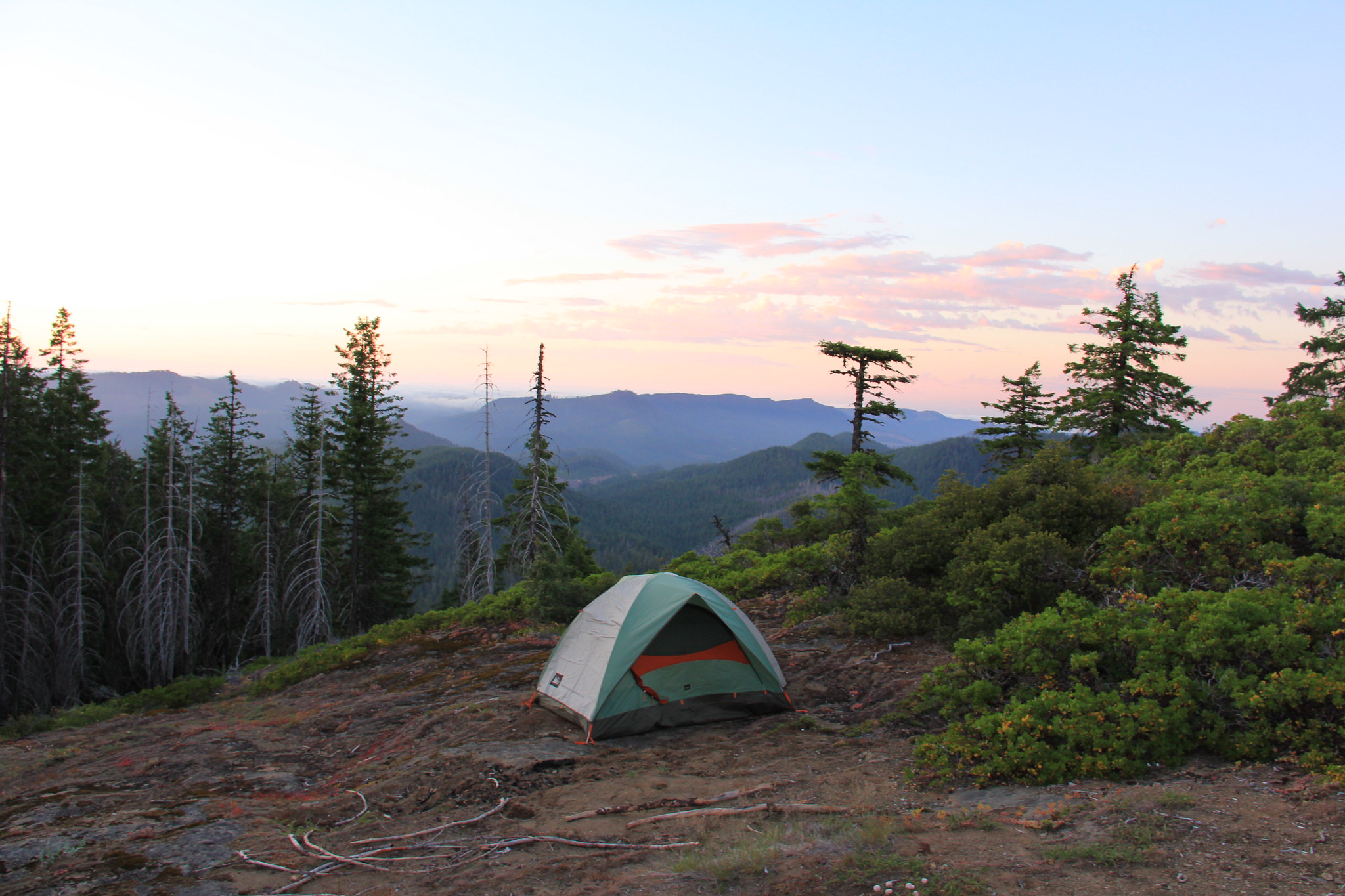
Visitors can help in protecting this fragile ecosystem by adequately planning and by arriving prepared! Knowledge of the area, weather, terrain, and common sense can help to ensure you have a safe, fun, and memorable trip to the wild. Trail junctions are generally unsigned, so you should carry a map and a compass. And always, be sure to bring your ten essentials!
Photos
Contact Us

Activities

Addresses
External Map
Fees
Contact the field office for more information about fees and permits.