
Wabayuma Peak Trail | Arizona
The 2.5-mile one-way Wabayuma Peak Trail leads to the summit.
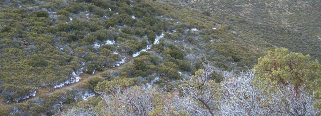
The first two miles of Wabayuma Peak Trail follow an old jeep road into the Wabayuma Peak Wilderness. At about the two-mile mark, you will find yourself in a saddle and a wire fence will be on your left. Look for the narrow path heading up the slope.
Near the top of the ridge, the trail becomes faint. Blaze marks on large ponderosa pine will guide you to the top. The trail ends in a saddle a half mile south of the summit. Proceed cross-country to reach the peak.
The summit offers spectacular views of the Black Mountains to the west, the Aquarius Mountains to the east, and of the Hualapai Mountains to the north and south.
Wabayuma Peak Trail is a strenuous hike and can be difficult for equestrians due to steep nature of the trail and the presence of overhanging vegetation.
Hours and Seasons
The trail is open all year. Weather conditions are most comfortable in late spring through fall.
Features and Services
Drinking Water: There is no drinking water available.
Toilets: There are no toilets available.
Cell Phone and Internet: There is no public internet or Wi-Fi. Cell phone service in this area is extremely limited. A spot device could be a good alternative for communication.
Pets: Pets are allowed and must be kept on a leash at all times. Service dogs are legally permitted anywhere that visitors can go. Please pack out all waste.
Safety and Conditions
You are responsible for your own safety. Call 911 to contact local law enforcement, obtain emergency services, or report a fire. While enjoying your visit, keep in mind that there is no first aid available on-site.
Expect potential hazards such as venomous reptiles and invertebrates, extreme heat or cold, and flash floods. Be prepared for changes in weather and stay informed on weather warning alerts. Make sure you have the appropriate gear, food and water.
Respect and Protect
The area is home to many species of wildlife. Please remember to practice outdoor ethics and recreate responsibly. Help us protect this unique environment by leaving no trace during your visit.
Check for fire restrictions before your visit. Using exploding targets, fireworks, sky lanterns, tracer ammunition and other incendiary devices is prohibited on BLM-managed public land in Arizona.
Accessibility Description (ABA/ADA)
Because the primary purpose of this trail is to provide a primitive experience within an undeveloped natural setting, the site may present challenges to accessibility.
Contact Us

Activities


Addresses
Directions
The trail is best access from the north along the Hualapai Ridge Road proceeding south out of the community of Pine Lake. Access to the trailhead is limited to high clearance four-wheel-drive vehicles, ATVs, UTVs, or motorcycles. The route leading to the trailhead is not regularly maintained and therefore caution should be exercised when driving the route.
The road may become impassible during periods of snowfall or prolonged rainfall.
Proceed west on I-40 from Kingman for approximately 23 miles. Take Exit 25, which is the Yucca and Alamo Road exit. Follow the signs for Alamo Road, proceeding south and east from the interchange for 3.2 miles. Turn left onto Boriana Mine Road and drive an additional 17.2 miles to the trailhead, which will be on the left. Parking is available at the small pullout to the right of the road.
Fees
Commercial, competitive, and large organized group events require a special recreation permit. Contact the Kingman Field Office for more information about special recreation permits.