
Spring Basin Wilderness | Oregon
What do you want from a Wilderness? Colorful geologic features! Rugged cliffs! Unique beauty! Outstanding opportunities for solitude! A neighboring wild and scenic river! The Spring Basin Wilderness has it all.
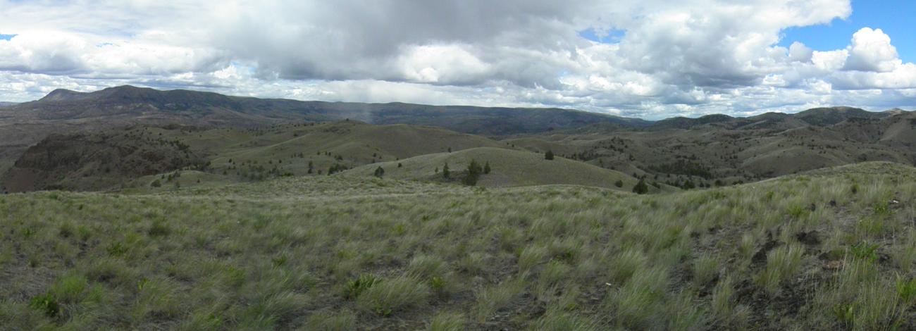
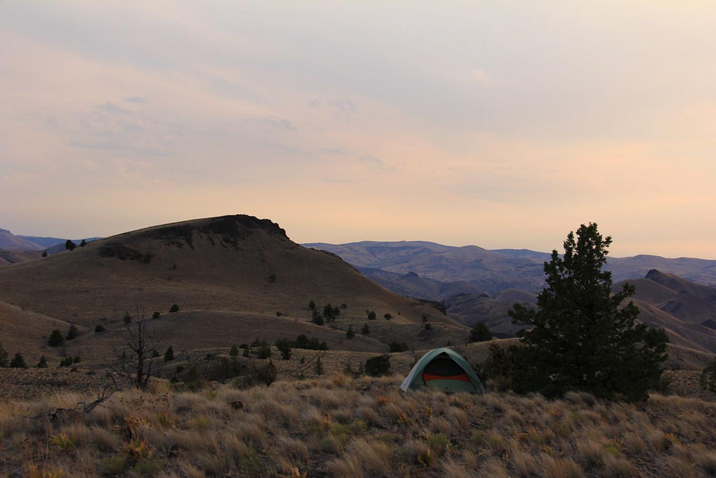
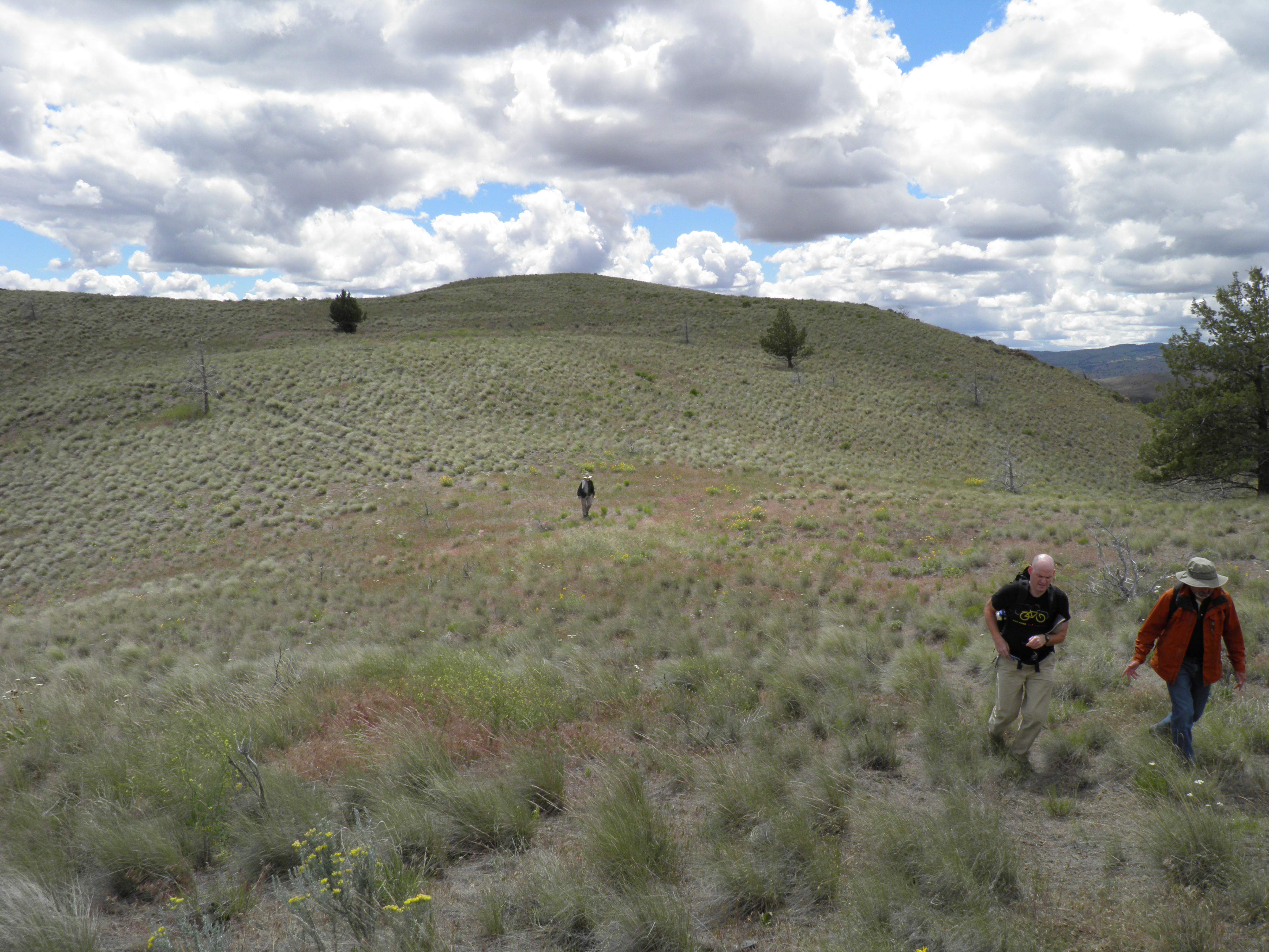
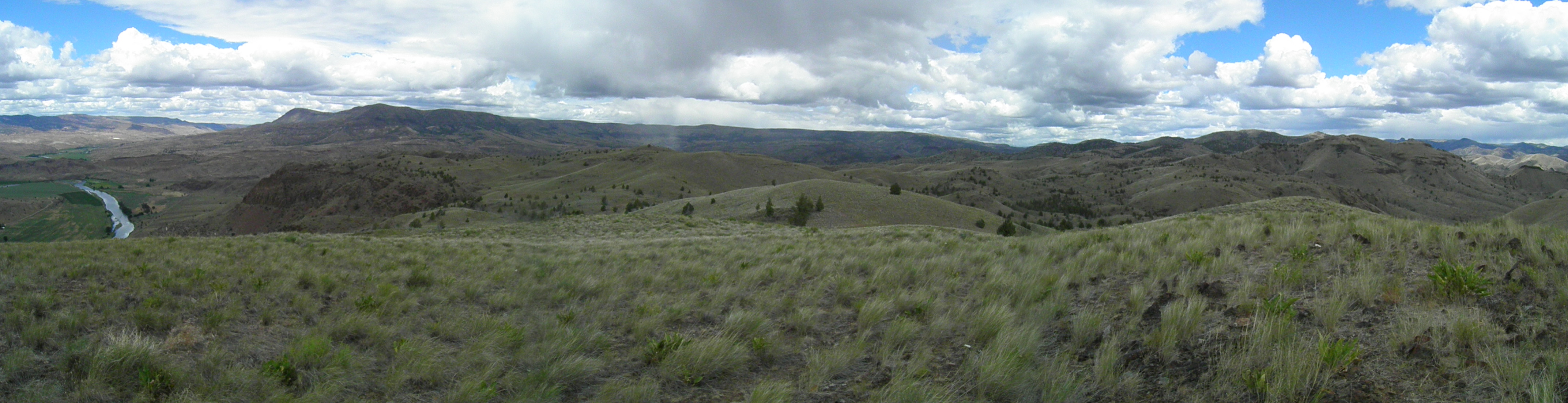
Designated as a wilderness in 2009, the area encompasses over 6,400 acres of stunning scenery. Numerous vista points give the visitor a sweeping view of the John Day River valley and solitude is provided by the remote canyons and vegetative diversity. These highly scenic settings set the stage for outstanding opportunities for recreation activities such as photography, hiking, and nature study.
This area provides for a unique combination of ecosystems, including: Palouse grassland province/wheatgrass, bluegrass, and sagebrush steppe. At present, there are no similar wilderness areas containing both of these ecosystems with this type of biological diversity. Most portions of the Spring Basin area appear in a natural condition and are primarily affected by the forces of nature.
A closer look will reveal a huge variety of wildlife species including mule deer, chukar, golden eagles, prairie falcons, bobcats, California quail, meadowlarks, and mountain bluebirds. The northern bald eagle is also an occasional winter resident.
Four plant species of special interest have been found within the area. Two species, Castilleja xanthotricha (yellow-hairy indian paint brush) and Astragalus diaphanus, are Federal candidates for listing under the Endangered Species Act. The other two, Penstemon eriantherus var. argillosus (fuzzytongue penstemon) and Pediocactus simpsoni var. robustior (Hedgehog cactus), are of limited concern within Oregon, according to the Oregon Natural Heritage Database.
Outstanding opportunities for solitude can be found in the numerous side canyons. Hay Bottom Canyon and Eagle Canyon offer some of the best solitude. There are also numerous other areas offering visitors secluded spots.
Leave No Trace Principles
- Plan Ahead and Prepare
- Travel and Camp on Durable Surfaces
- Dispose of Waste Properly
- Leave What You Find
- Minimize Campfire Impacts
- Respect Wildlife
- Be Considerate of Other Visitors
Regulations
Motorized equipment and equipment used for mechanical transport are generally prohibited on all federal lands designated as wilderness. This includes the use of motor vehicles (including OHVs), motorboats, motorized equipment, bicycles, hang gliders, wagons, carts, portage wheels, and the landing of aircraft including helicopters, unless provided for in specific legislation. In a few areas some exceptions allowing the use of motorized equipment or mechanical transport are described in the special regulations in effect for a specific area. Contact the agency for more information about regulations.
The adjacent Pine Creek Conservation Area requires a free Daily Access Permit to recreate on this property.
Photos
Contact Us

Activities


Addresses
Directions
Spring Basin is located approximately three hours southeast of Portland and two hours northeast of Bend. When driving on Highway 218, turn south on Clarno road, located one mile east of the John Day River. Follow this dirt road 3.5 miles to the BLM kiosk and unimproved parking area at the base of Spring Basin.
Trailhead/parking coordinates—Latitude: 44.86904, Longitude: -120.44006.
External Map
Fees
No fees.