
South Fork John Day Wild and Scenic River | Oregon
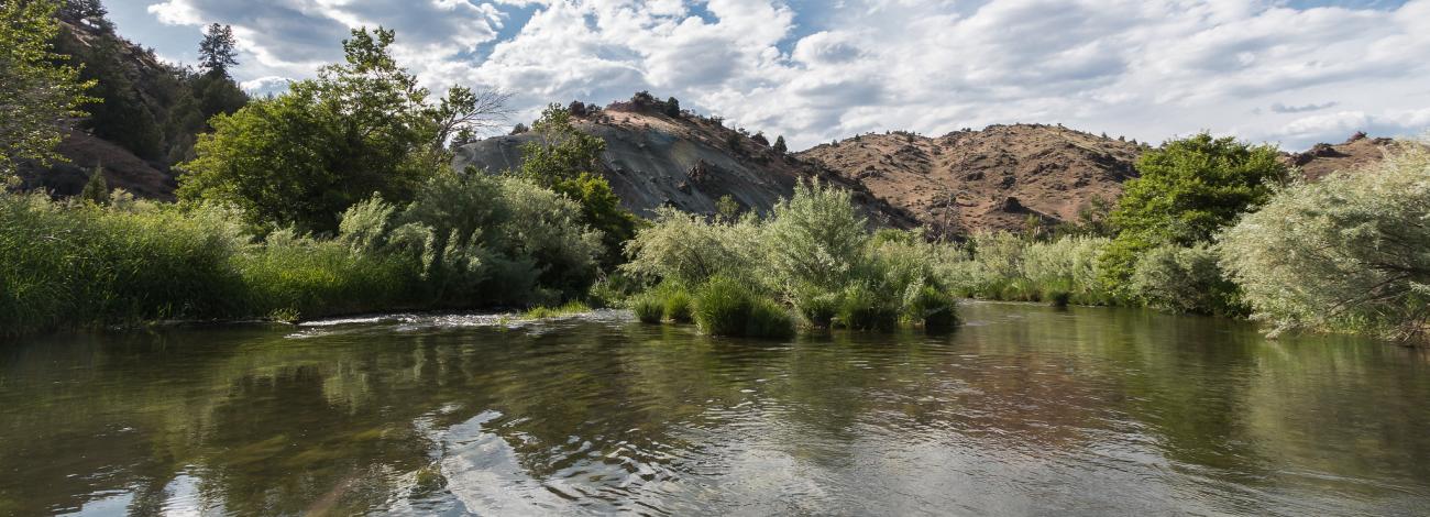
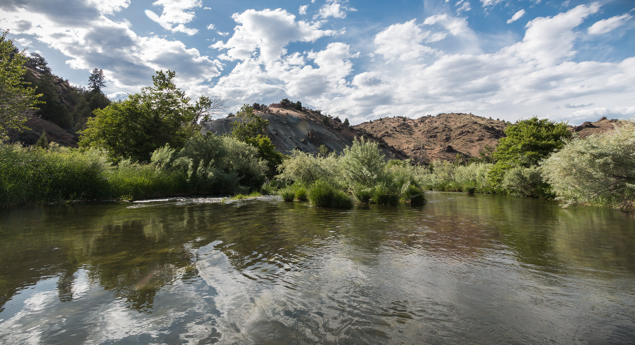
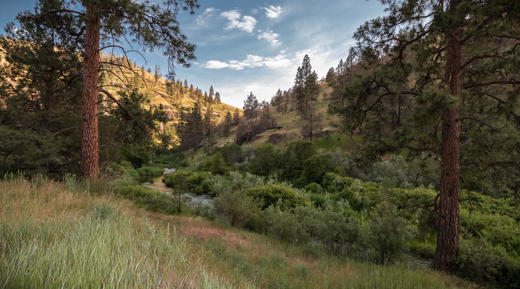
Descending from flanks of Eastern Oregon’s Aldrich and Ochoco mountains, 47 miles of the South Fork John Day River are designated as a Wild and Scenic River. Trout fishing and chukar hunting are just a sampling of the fish and wildlife opportunities abounding in the area.
Know Before You Go
- Rattlesnakes are common in the canyon, especially during the summer months.
- Vehicle fuel is available in Dayville near the north end of the wild and scenic river.
- Check for local fire restrictions before building any campfire.
- Pack it in; pack it out at primitive campsites; no developed facilities are available.
Point of Interest
Drive the graveled South Fork John Day Back Country Byway which parallels the winding river, offering deep-canyon views of juniper woodlands and Ponderosa pine forests. The road offers easy access to primitive, dispersed camping sites.
Interactive Video: 360° Dusk at the South Fork John Day River
Photos

Accessibility Description (ABA/ADA)
Because the primary purpose of this site is to provide a primitive experience within an undeveloped natural setting, the site may present challenges to accessibility.
Contact Us

Activities


Addresses
Directions
From Dayville, Oregon: Drive 4.7 miles south on South Fork Road to the confluence of the South Fork John Day River with Smokey Creek. This is the northern terminus of the Wild and Scenic River segment.
External Map
Fees
No fees.