
Cottonwood Creek Trailhead/Campground | Wyoming
The Cottonwood Creek Trailhead/Campground features an interpretive kiosk, five campsites with fire rings, picnic tables toilet facility, four horse corrals, a horse watering trough and food storage boxes.
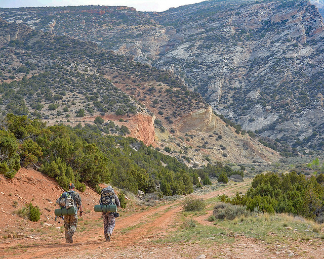
COTTONWOOD CREEK TRAIL PHOTOS
BLM WYOMING KNOW BEFORE YOU GO
Contact Us
This site is managed by Cody Field Office; visit their page for office hours and directions.

Activities


Addresses
Cody Field Office
1002 Blackburn Street
Cody
Wyoming
82414
Geographic Coordinates
44.86916572, -108.0717211
Directions
From Lovell, take Highway 14A for approximately 10 miles. Immediately after the causeway on the east side of Bighorn Lake, turn left onto John Blue Canyon Road/BLM Road #1122. Take the first road on the right, and travel this road for roughly five miles until you reach the campground and trailhead.
Fees
No Fee.