Quartzville Creek Wild and Scenic River

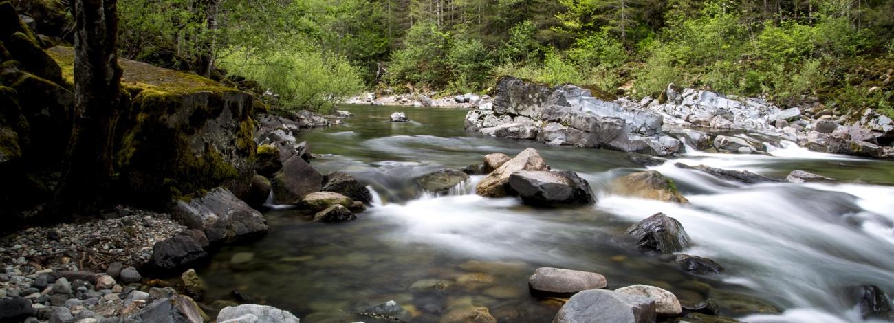
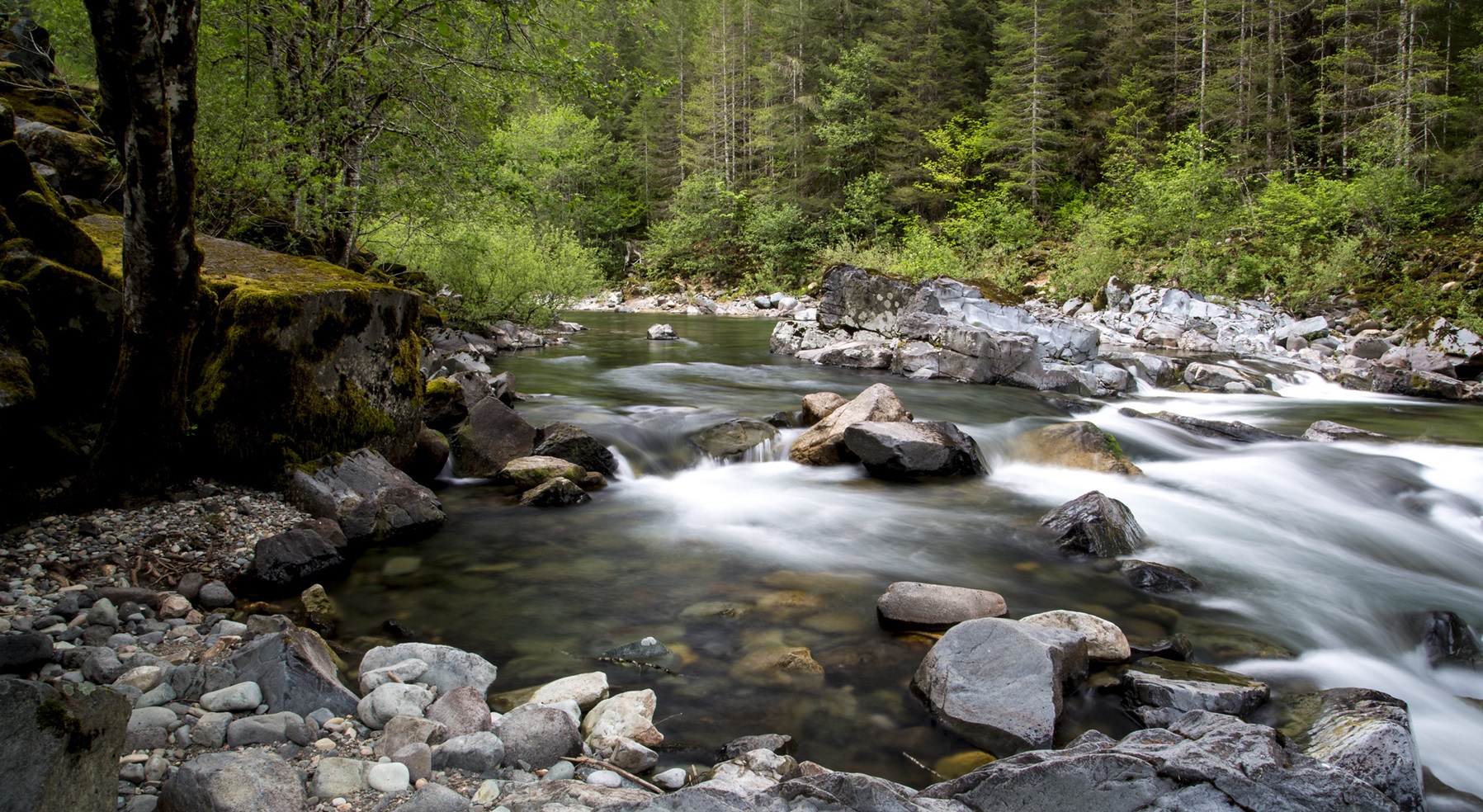
Tranquility and water both flow in the wild and scenic Quartzville Creek, where one may hike, camp, fish or simply gaze into the mesmerizing, cascading waters. Quartzville Creek is named for the gemstone that has been mined in the area and a ghost town that was once the center of two brief gold mining efforts in the late 1800s.

Know Before You Go:

  • Recreational mining is allowed along the BLM portion of the Quartzville Back Country Byway.
  • Camping is limited to designated campsites. It is available on a first-come, first-serve basis.
  • Fires are limited to the steel fire rings or grills provided. Firewood collection is NOT allowed at developed campgrounds.
  • Pack it in; pack it out at non-developed campsites.

Point of Interest:

The Quartzville Back Country Byway parallels the winding river, offering views of old-growth forests and wildlife, and provides easy access to developed and undeveloped picnic and camping sites.

Quartzville Recreation Corridor and Back Country Byway Brochure

Explore Oregon Recreation: Quartzville Creek Corridor

Photos

Relaxing on the Quartzville Creek Wild and Scenic River
Bureau of Land Management
View of Quartzville Creek Wild and Scenic River
Bureau of Land Management
View of Quartzville Creek Wild and Scenic River
Bureau of Land Management
Recreational Mining on the Quartzville Creek Wild and Scenic River
Bureau of Land Management
Fishing on the Quartzville Creek Wild and Scenic River
Bureau of Land Management

Adventure is at Your Fingertips

Phone

Activities

Iconograph of a tent
CAMPING
Iconograph of a fish head and a fishing hook on a line
FISHING
Iconograph of a picnic table
PICNICKING
Iconograph of three picnic tables
DAY USE AREA
Iconograph of a camera
PHOTOGRAPHY
Iconograph of a person paddling a kayak
PADDLING
Iconograph of a person swimming
SWIMMING

Addresses

Northwest Oregon District Office
1717 Fabry Rd
Salem
Oregon
97306

Geographic Coordinates

44.5864, -122.39757

Directions

From Sweet Home, Oregon go east on U.S. Highway 20. Approximately one mile out of town turn left on the Quartzville Access Road heading towards Green Peter Reservoir and Quartzville Creek. Old Miners Meadow is located approximately 25 miles up the road on the right, about one mile past Yellowbottom Recreation Site.

Stay Limit

14 days