
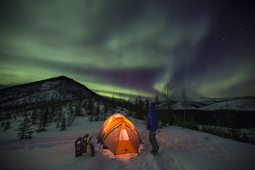
Lower Nome Creek Trail | Alaska
From a junction with McKay Creek Trail, this trail descends gradually from a ridge top through forest and meadows into the Nome Creek drainage. It crosses the creek before ending at Nome Creek Road and the Bear Creek Trail.
Flickr Album
WHITE MOUNTAINS QUICK LINKS
Contact Us
This site is managed by Eastern Interior Field Office; visit their page for office hours and directions.

Activities


Addresses
Eastern Interior Field Office
222 University Ave
Fairbanks
Alaska
99709
Directions
The trail can be accessed from McKay Creek Trailhead (milepost 42.5 Steese Highway) or at an intersection with Nome Creek Road, approximately 1.5 miles before Ophir Creek Campground.
Fees
No fee