
Hells Canyon Wilderness | Oregon
The United States Congress designated the Hells Canyon Wilderness in 1975 and it now has a total of 217,927 acres. Idaho contains approximately 83,811 acres. It is primarily managed by the U.S. Forest Service with approximately 940 acres managed by the Bureau of Land Management (BLM).
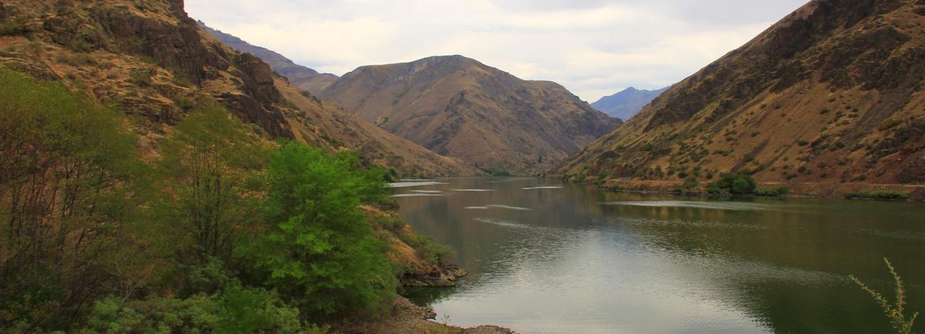
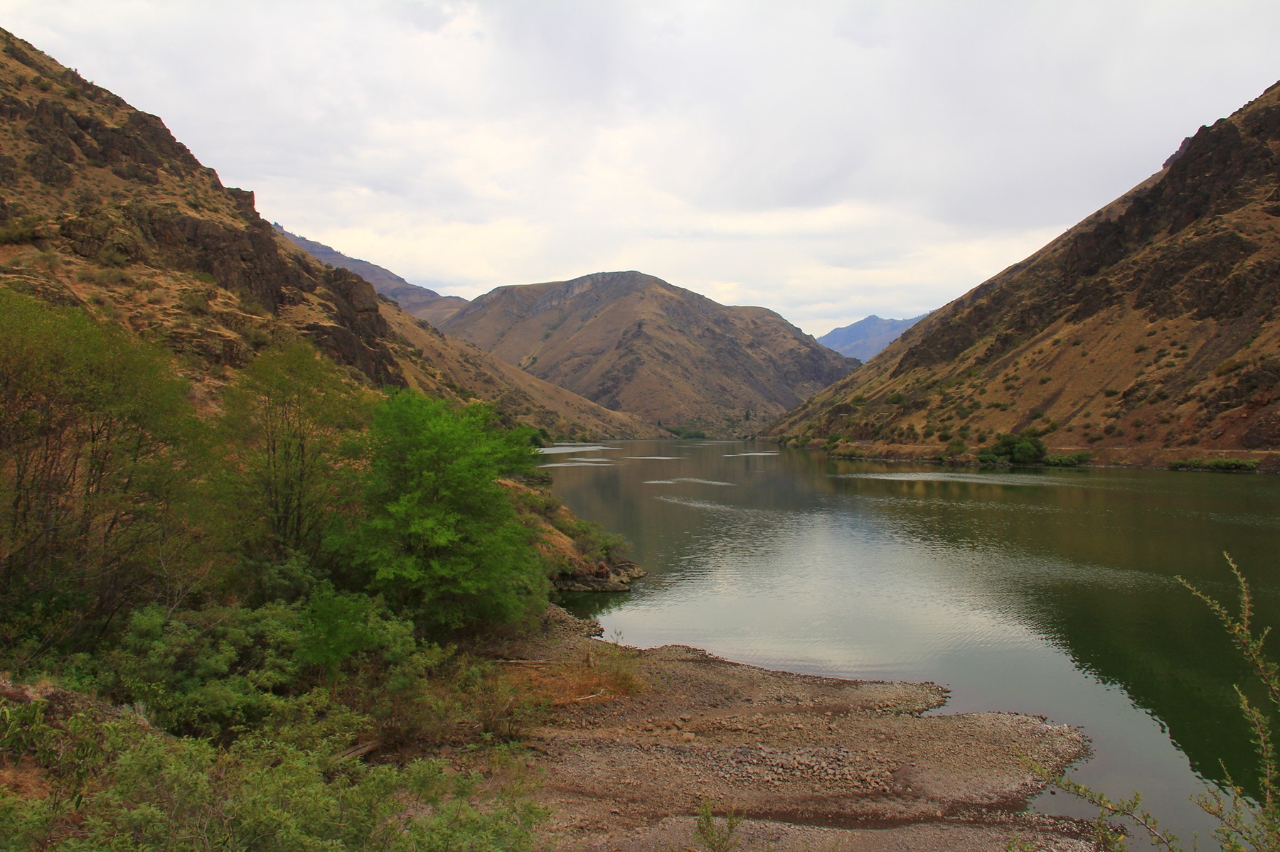
Hells Canyon Wilderness is a subset of the Hells Canyon National Recreation Area (HCNRA), which straddles the border of northeastern Oregon and western Idaho. Split into two distinct halves by the Wild & Scenic Snake River, approximately one-third of HCNRA is designated Wilderness. A small portion of the Wilderness in Oregon is managed by the BLM.
The Idaho side of the Wilderness is smaller than the Oregon side and encompasses the Seven Devils mountain range. The Wilderness stretches south from Pittsburg Landing for approximately 31 miles along the Snake River.
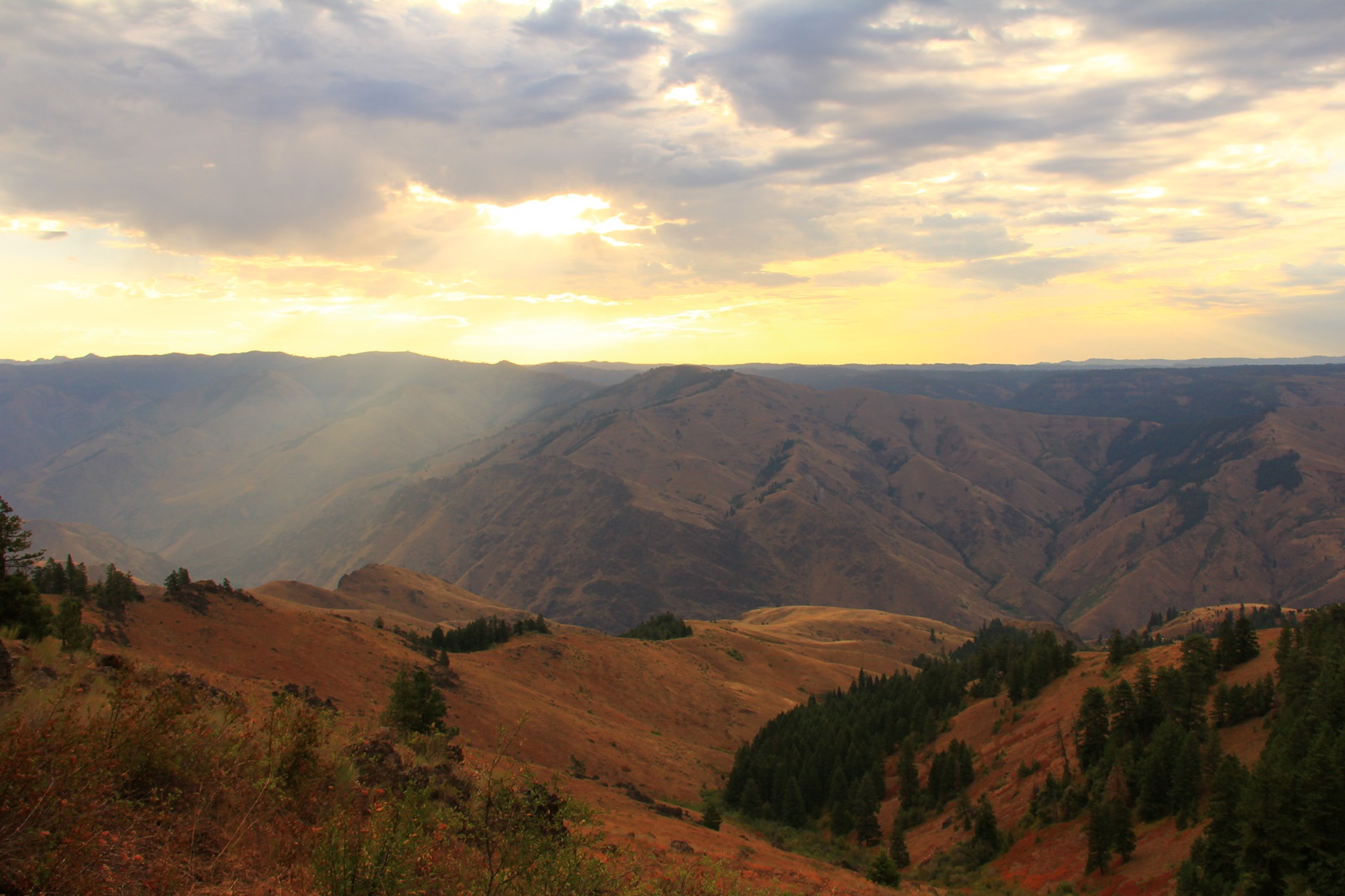
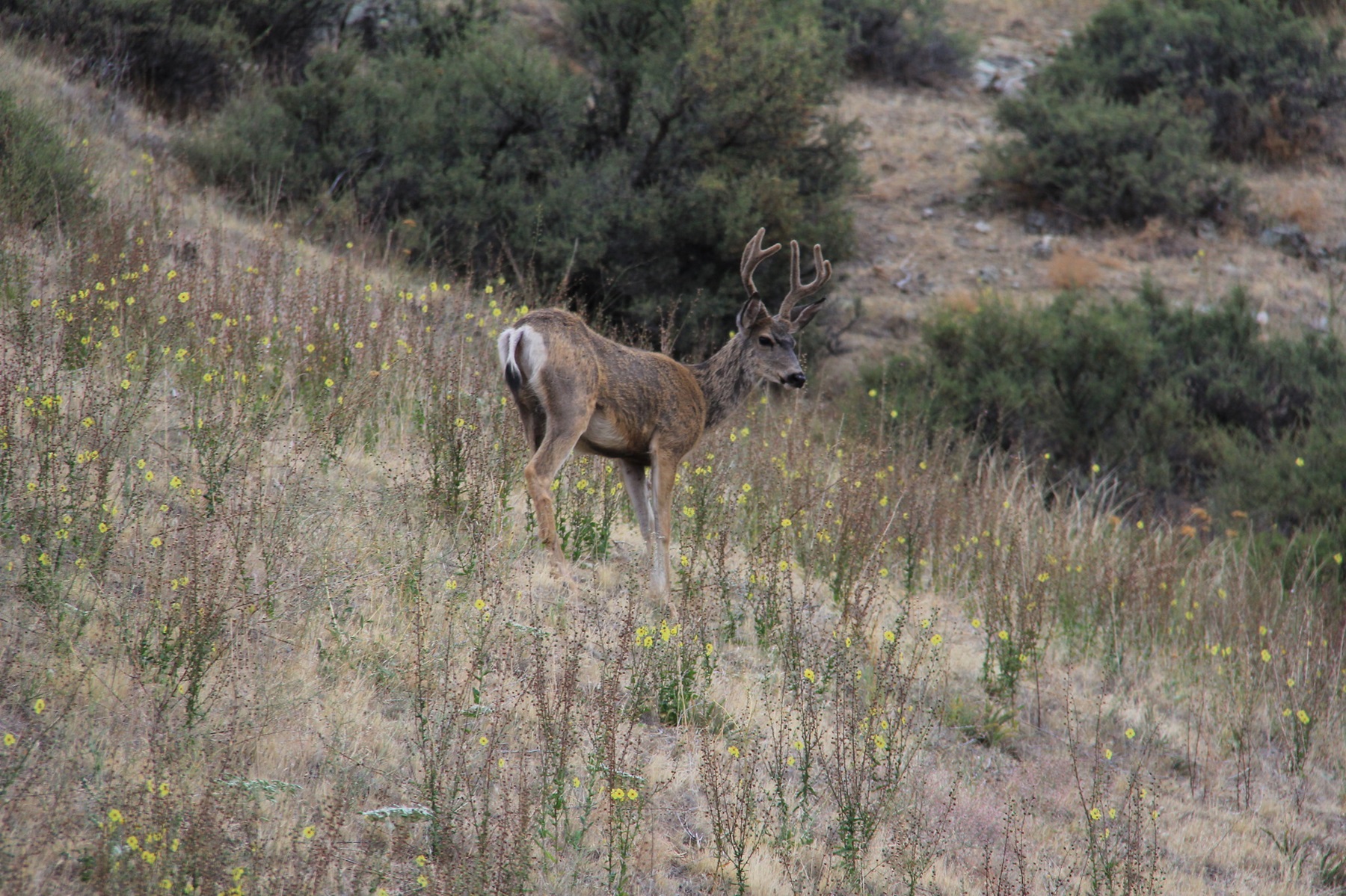
On the Oregon side, the higher elevation areas are characteristic of rocky slopes and grasslands laced with 'stringer canyons' and groves composed of Douglas fir and ponderosa pine. The lower elevations are dominated by grassland benches with steep canyons and ravines dissecting the isolated Oregon-side. Two National trails are found at various elevations: Western Rim/Summit Ridge Recreation Trail at the upper elevation, and the Nez Perce National Historic Trail near the Snake River. Species of interest are Rocky Mountain Elk, bighorn sheep, mule deer, and chukar.
Visitors can help in protecting this fragile ecosystem by adequately planning and by arriving prepared! Knowledge of the area, weather, terrain, and common sense can help to ensure you have safe, fun, and memorable trip to the wild. Trail junctions are generally unsigned, so you should carry a map and a compass. And always be sure to bring your ten essentials!
Know Before You Go
Conditions vary significantly with season of use and elevation. Lower elevations may be accessible year-around, while higher elevations may retain snow well into summer months. Carefully consider time of year, topography, and elevation changes when planning your trip. Many trails are unmaintained, or seldom maintained in primitive condition.
Rugged hiking and equestrian travel in steep terrain offering breathtaking scenery and a variety of wildlife. Excellent opportunities for solitude and self-reliant, cross-country travel. Be forewarned: the Hells Canyon Wilderness can be very hot in summer, and finding reliable water sources may pose a challenge. Running water may usually be found in major tributary creeks to the Snake River. All water should be treated before drinking.
Be sure to check clothing often for ticks, especially in humid, warm weather, or when traveling through brushy terrain. Watch for rattlesnakes and give them plenty of space. Some trails have been completely destroyed by flooding and have not been reconstructed; expect primitive trail conditions and anticipate the need for cross-country travel. Overgrown vegetation along narrow trails may include thorns and poison ivy. Check bulletin boards for seasonal fire restrictions and special notices.
Photos
Contact Us

Activities

Addresses
Directions
Access the southern portions of the Wilderness from trailhead at Copper Creek, approximately nine miles north of Oxbow on the Oregon side. Primitive camping and restrooms available.
External Map
Fees
No fees.