
East Applegate Ridge Trail | Oregon
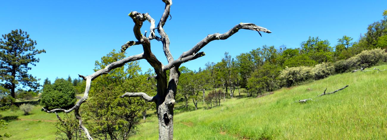
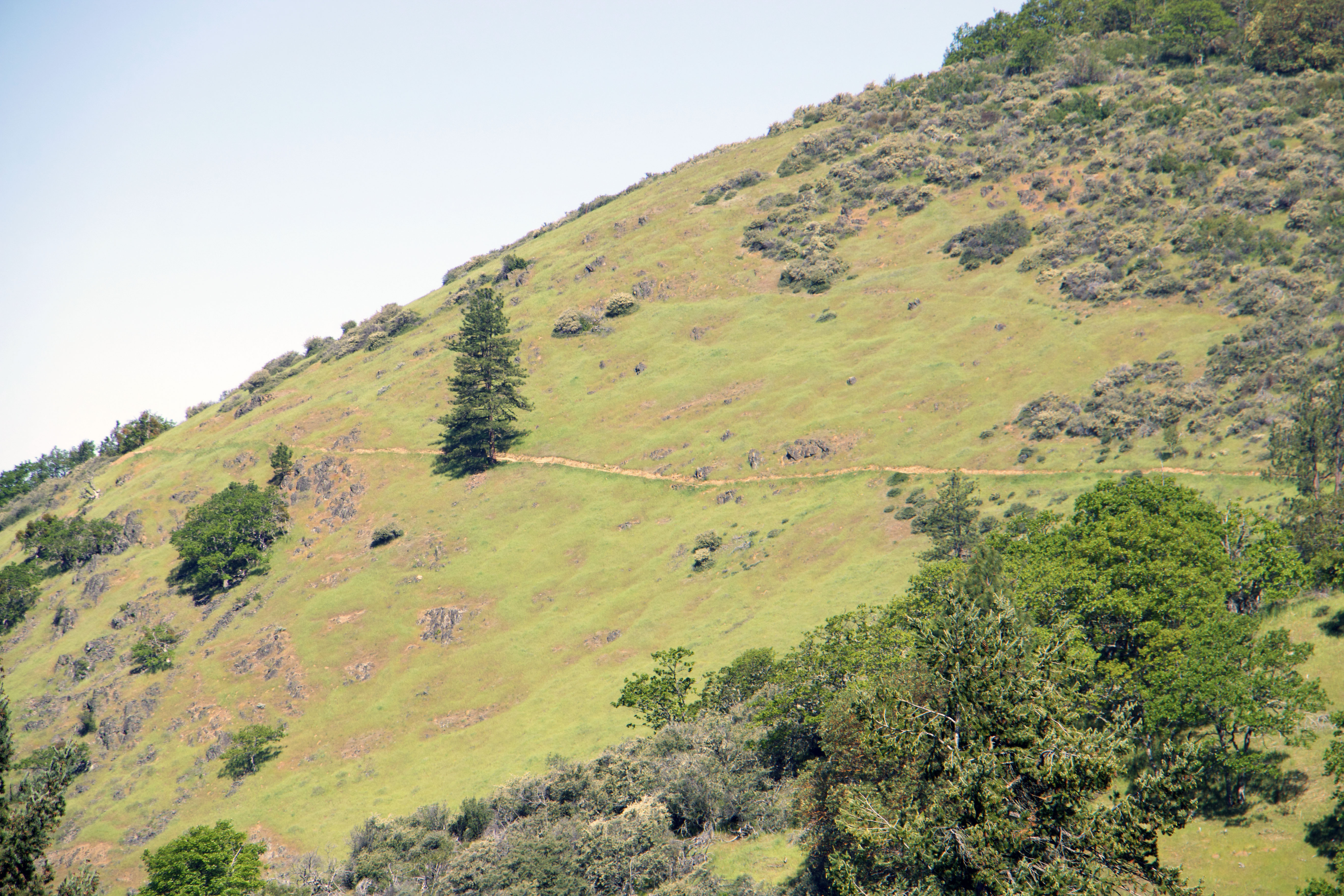
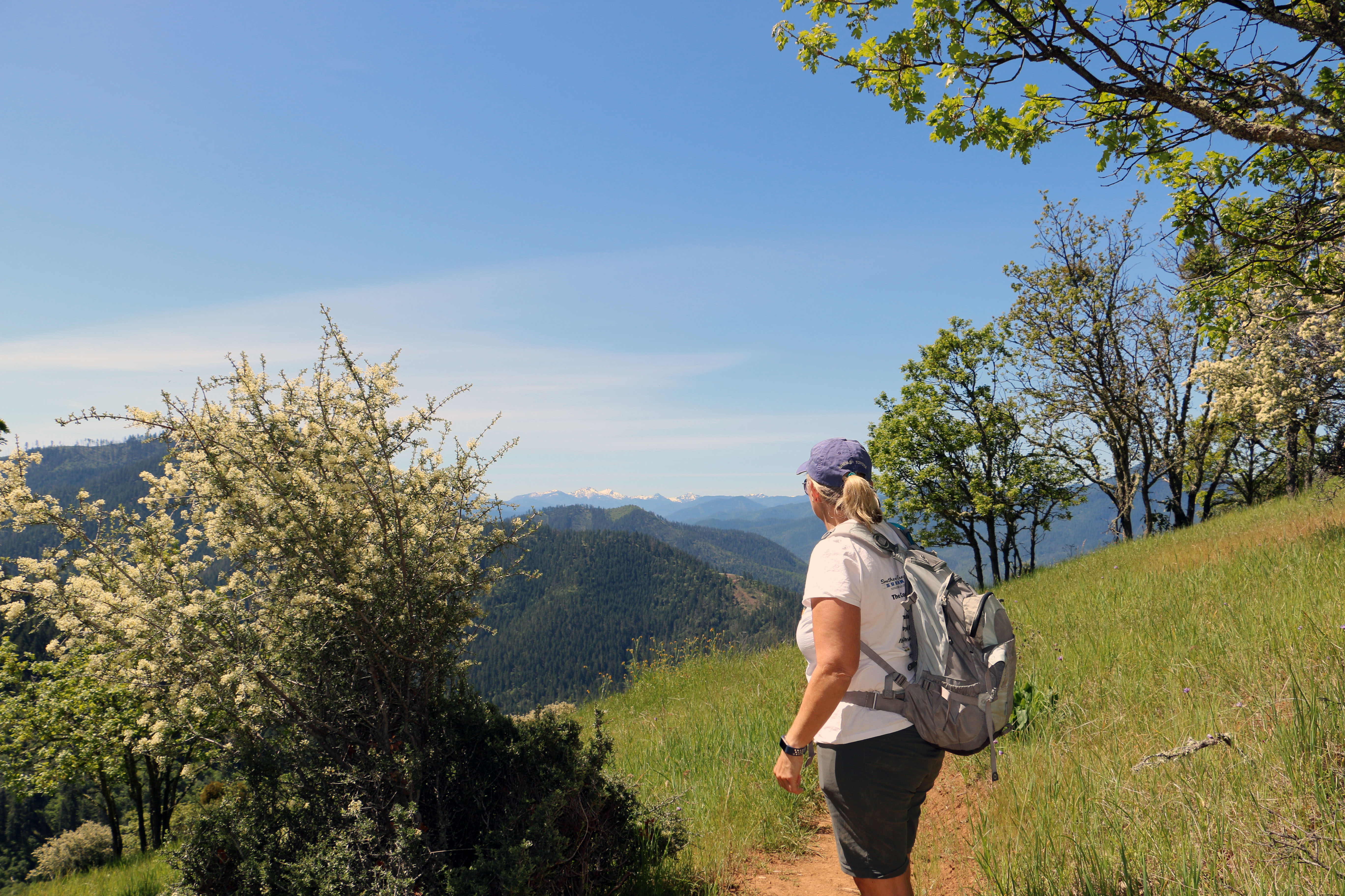
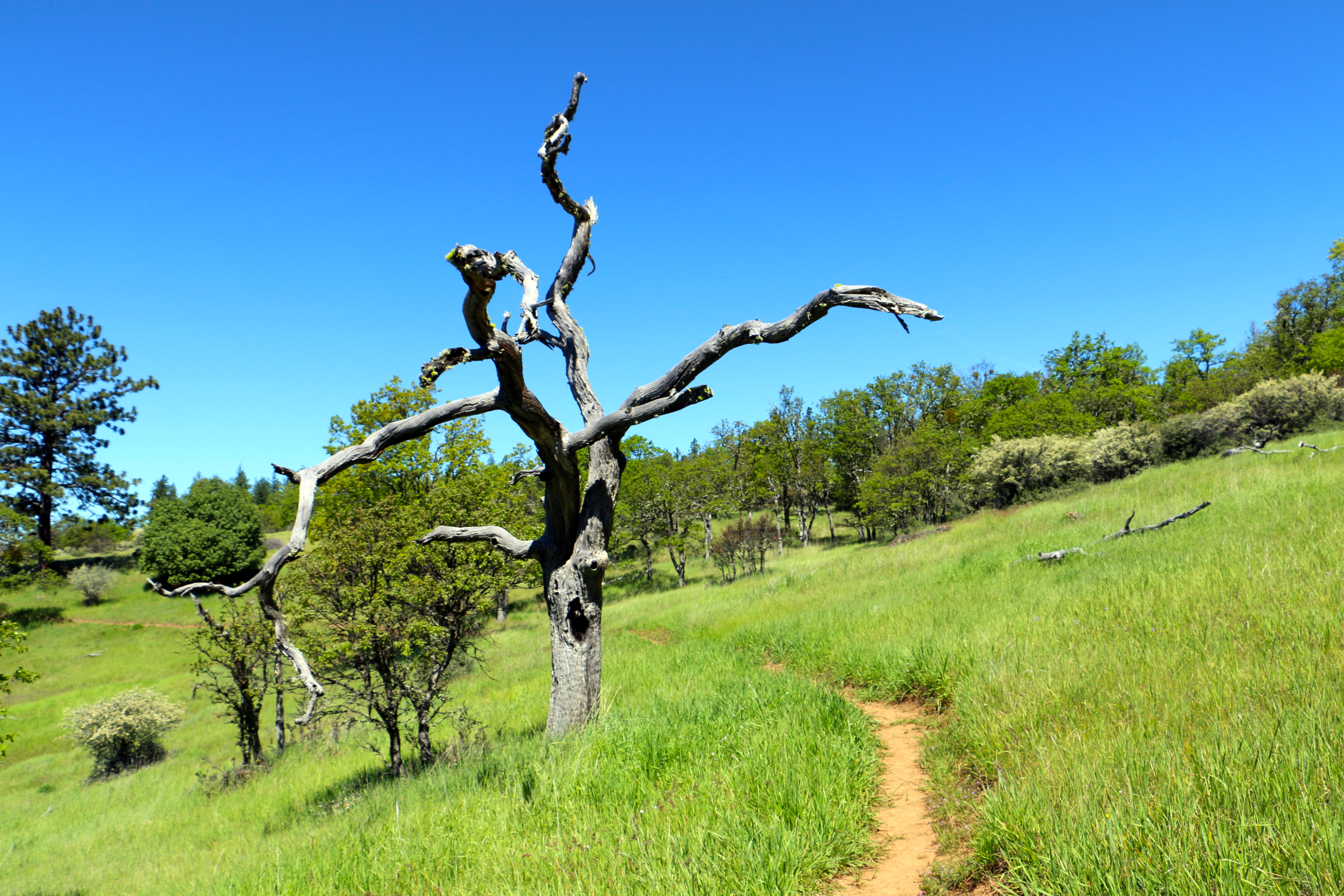
The "East ART" trail, a 5.6-mile multiple-use non-motorized trail is located approximately 5 miles south of Jacksonville, Oregon. It offers stunning vistas for hiking, mountain biking, and equestrian use. The trail predominantly follows the ridge tops above the Poorman and Bishop Creek drainages and offers a year-round opportunity for recreation. Equestrian and bike users are reminded to avoid use after significant precipitation to prevent damage to the trail.
Remember your OUTDOOR ETHICS when enjoying your public lands. Please RECREATE RESPONSIBLY.
Photos
Contact Us

Activities


Addresses
Directions
From Jacksonville Oregon, go west on Applegate St, becoming Cady Road for 1.9 miles. Turn south on Sterling Creek Road. Go approximately 4 miles, turning west on BLM Road 38-2-29.1. The trail head is approximately 1/4 of a mile at the end of the road.
Fees
No fees.