
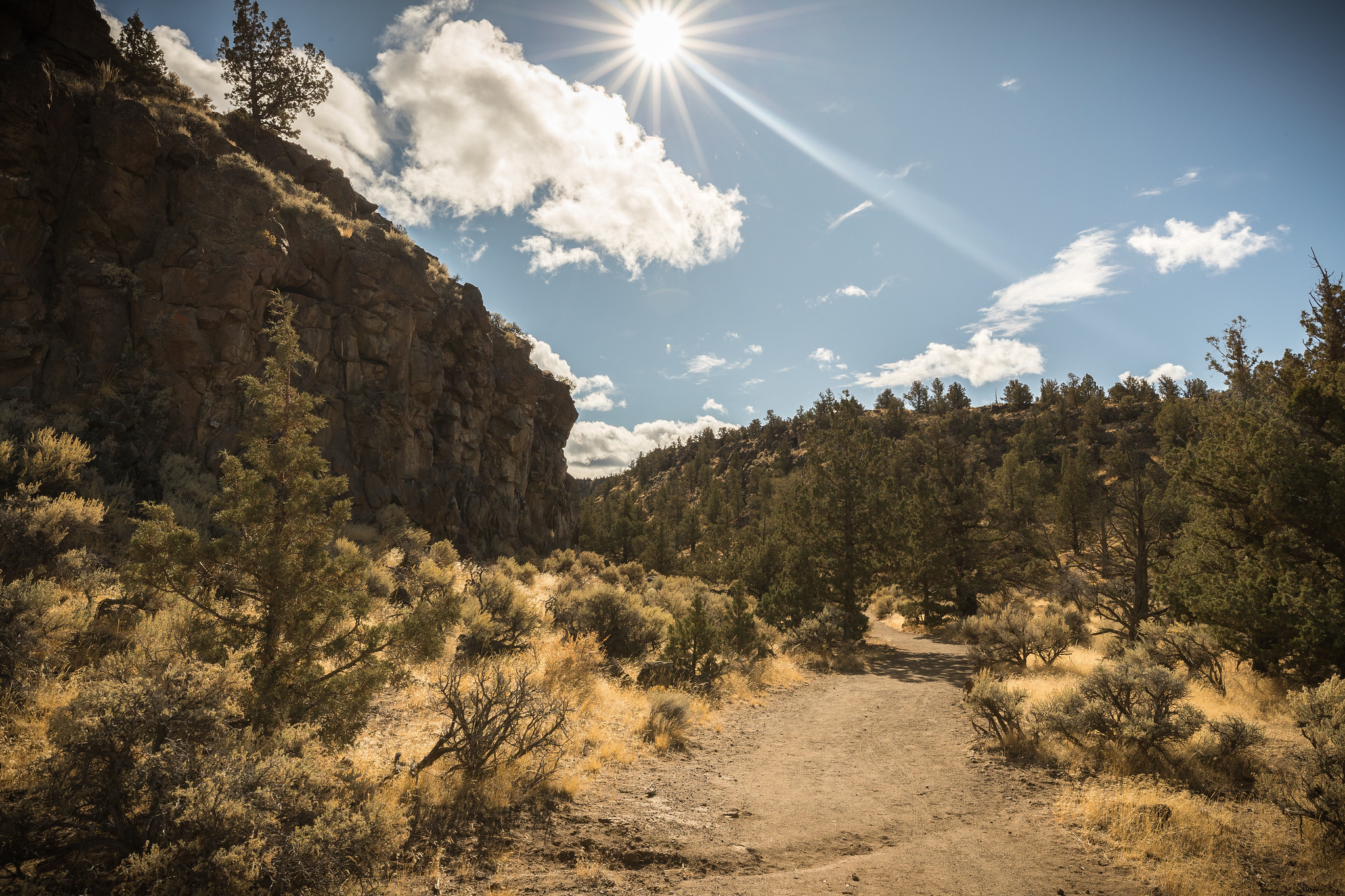
Dry River Canyon Trail | Oregon
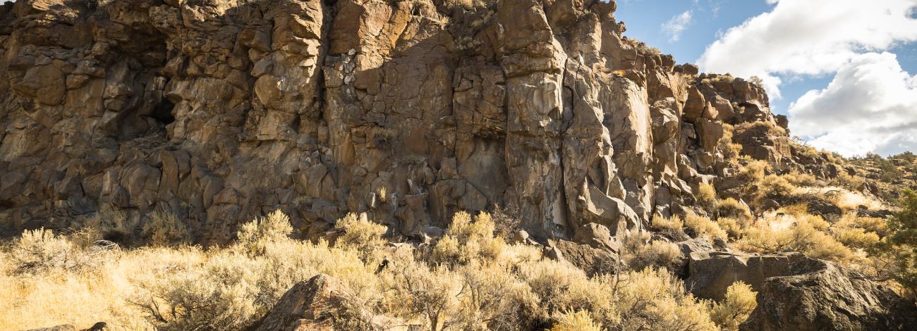
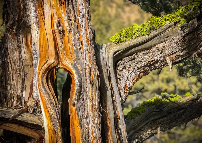
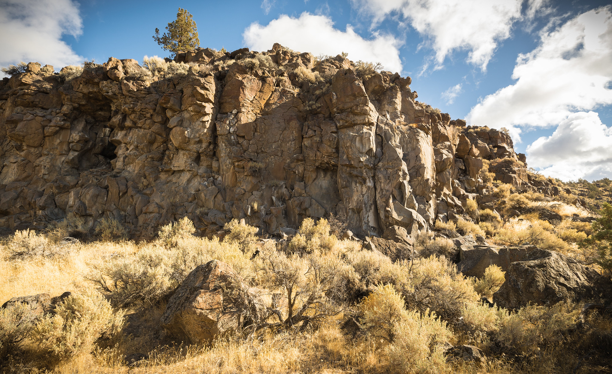
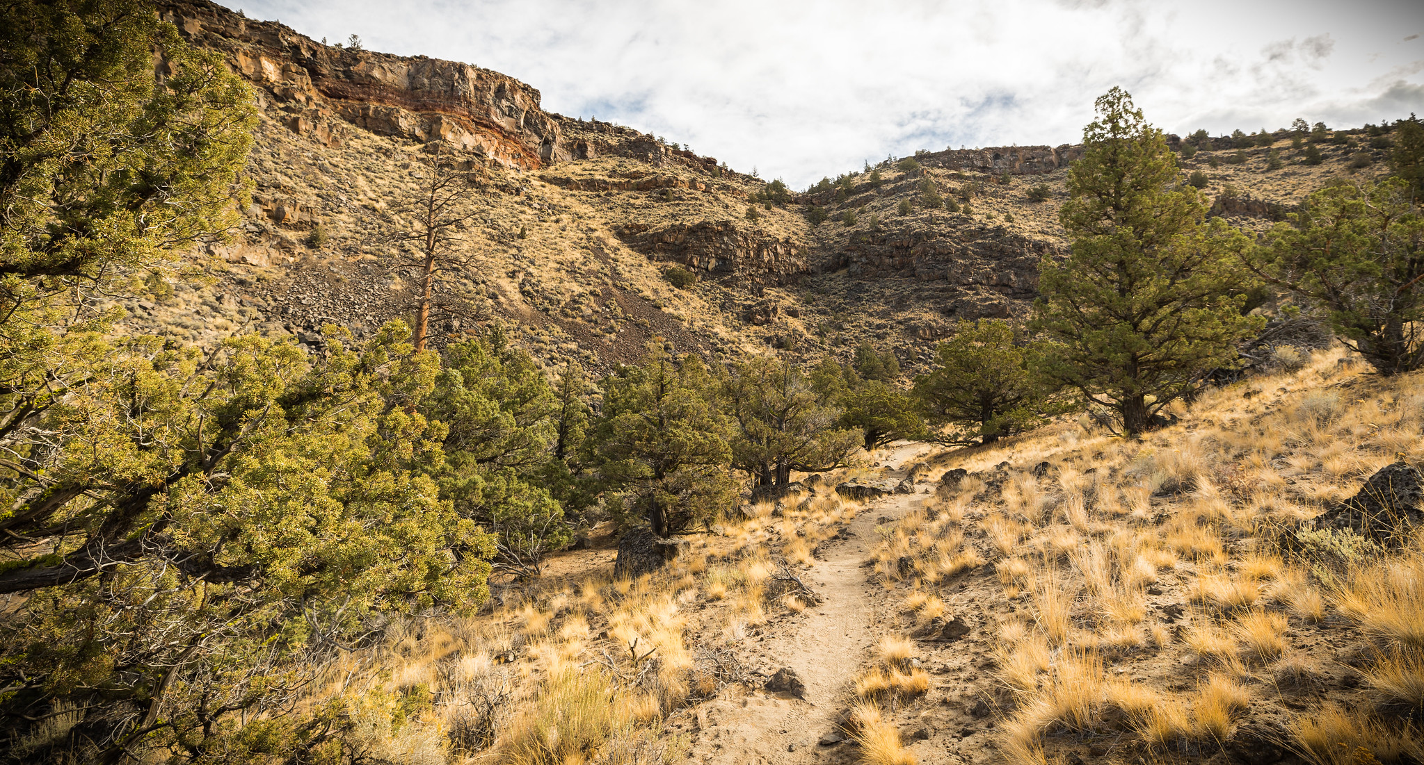
It's a small finger off the east side of the Oregon Badlands Wilderness, a nook that holds a trail that winds in and out of old, twisty juniper, bordered by steep basalt cliffs. A stretch where an ancient river cut into the canyon, once draining the ancient Lake Millican. Rounded boulders, worked by the old river, appear out of place along the now dry trail. Head out for a moderate hike for about 2.3 miles one-way, or add in an additional mile by rock-hopping an unmarked area for about 50 yards, then picking up the trail again for the last 1/2 mile.
Know Before You Go
- Open seasonally with a wildlife closure to all uses from February 1 through August 31st, unless lifted by BLM staff earlier.
- This is a primitive, rocky trail and trailhead with no water or restrooms; Practice Leave No Trace and pack out what you pack in.
- No motorized vehicles are allowed.
- Dogs are allowed.
- Horses are allowed, but are not advised; the trail is rocky with low-hanging branches
Point of Interest
Look up from the path of the old river and enjoy the views of exposed layers of lava and cinders from early volcanoes in this 300-foot deep canyon.
Photos
Accessibility Description (ABA/ADA)
Dry River Canyon Trailhead and trail are not accessible.
Contact Us

Activities


Addresses
Geographic Coordinates
Directions
From Bend, Oregon: Drive 17 miles east along State Highway 20. Turn left a few hundred yards east of Milepost 17, crossing a cattle guard. Immediately bear right into the ODOT gravel area. Low clearance vehicles should park here at the information kiosk or proceed slowly as the next mile is rocky and unmaintained. From the kiosk, walk or drive 0.9 miles southeast to the end of the rough road to the trailhead kiosk.
External Map
Fees
No Fees.