
Chimney Peak Wilderness | California
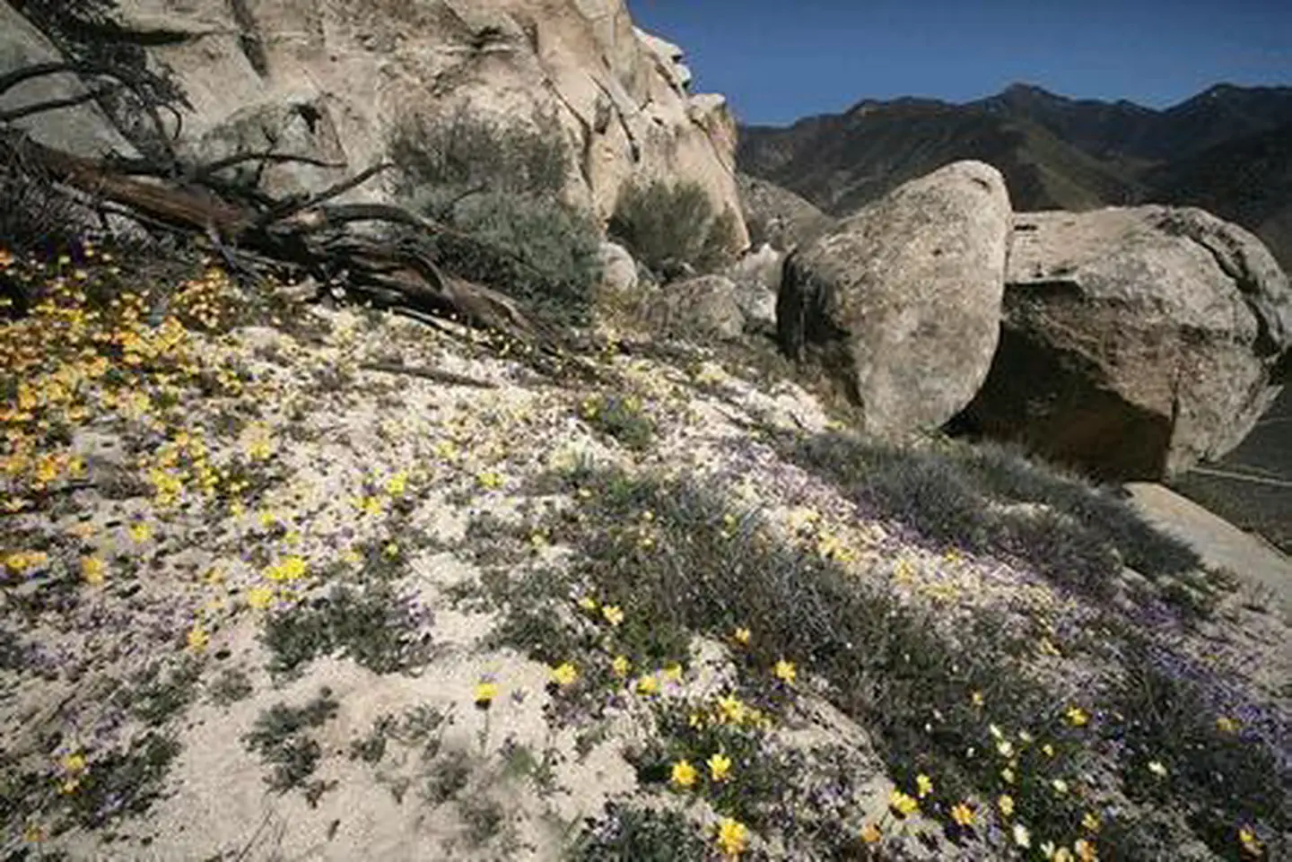
Chimney Peak Wilderness encompasses rocky mountainous terrain dominated by pinyon pine with areas of sagebrush. There are scattered springs and streams, with their associated riparian habitat species, and seasonal wildflower displays. The Pacific Crest Trail passes through a portion of this wilderness on its way to the Domelands Wilderness.
Photos
Contact Us

Activities


Addresses
Bureau of Land Management
Bakersfield Field Office
3801 Pegasus Drive
Bakersfield
California
93308
Directions
Follow highway CA-178 approximately 30 miles east of the town of Lake Isabella and turn north onto Canebreak Road. Follow this graded dirt road approximately 9 miles to the prominent junction of Canebrake and Long Valley/ Chimney Basin Roads. Chimney Peak Wilderness is on the left as you continue down Canebrake Road or the right as you continue onto Long Valley/ Chimney Basin Road. Best on trail access to this Wilderness is approximately 1.6 miles north of this junction on Canebrake road at a small Pacific Crest National Scenic Trail trailhead.