
Castle Rock Hiking Trail | California
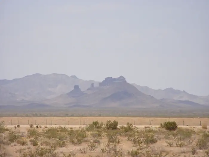
Castle Rock's is accessible from California Highway 62, near the railroad crossing west of Vital Junction. The trail and Castle Rock itself are both located within the Turtle Mountain Wilderness area. The hike is not very strenuous, and is approximately 8 miles round trip.
Photos
Contact Us

Activities


Addresses
Bureau of Land Management
Needles Field Office
1303 S. Highway 95
Needles
California
92363
Directions
From Needles, CA, take U.S. Highway 95 south approx. 45 miles to CA State Highway 62. Turn right on Hwy 62 and drive west approx. 8 miles to BLM Route NS733 - Castle Rock Road. Turn right onto NS733 and drive approx. 9 miles to the Turtle Mountain Wilderness Area boundary. A small parking area is present at the trailhead.