
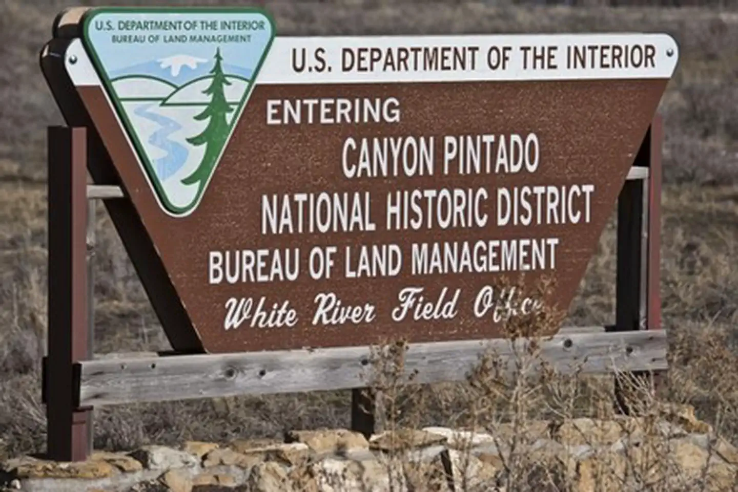
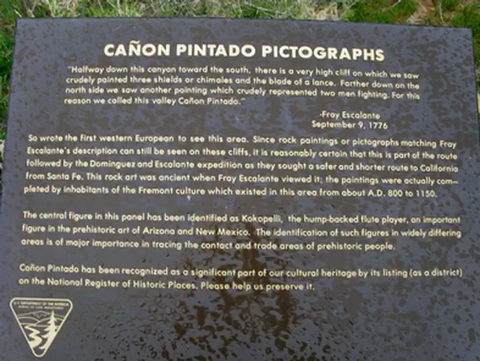
Canyon Pintado National Historic District | Colorado
Canyon Pintado National Historic District encompasses over 16,000 acres of public land along 15 miles of State Highway 139. Canyon Pintado (Spanish for "Painted Canyon") received its name in 1776 when Fathers Dominguez and Escalante noted numerous examples of ancient Native American rock art as they traveled through the Douglas Creek Valley. For more information, please contact the White River Field Office.
Photos
Contact Us
This site is managed by White River Field Office; visit their page for office hours and directions.

Activities


Addresses
White River Field Office
220 East Market Street
Meeker
Colorado
81641
Directions
From Rangely, Colorado (junction of State Highways 64 and 139), travel south on Highway 139. The District begins about 3 miles south and continues for 15 miles.
Fees
Contact the field office for more information about fees and permits.
Stay Limit
Day Use Only