
Adventures in public lands: Maggie and Morgan's GIS internships with the BLM
When the opportunity to spend a year as geographic information system (GIS) interns with the Bureau of Land Management (BLM) Colorado State Office arose, both Maggie Carmody and Morgan Delgado couldn’t say no. The two have spent the past 6 months exploring all the layers of BLM and public lands management, allowing them to apply their academic knowledge with real world experience. It may be easy to just think of GIS as a tool to get us from point A to point B, but as Maggie and Morgan can attest, there is so much more to GIS than just navigation.
Being part of the BLM team and working with subject matter experts on everything from wildland fire to wild horses has given both Maggie and Morgan experiences in the breadth and depth of the BLM multiple-use mission.
“There is such a great connection between public lands, conservation and GIS,” shared Morgan. One of the projects she has been working on allows her to mix her background in wildlife conservation and GIS, developing a geoprocessing tool to better understand where big game is most commonly found that is in collaboration with Colorado Parks and Wildlife.
“We are able to help people come up with solutions with real world applications,” she said.
Maggie is working on a data management project that wild horse staff will be able to use to monitor and manage wild horse inventory and fertility darting work using an application on their phones that will allow for real-time data updates.
“I really enjoy the variety of work that I get to do, the people I get to help and that I am working on projects that have immediate effects on the work that the BLM is doing” shared Maggie on what she has appreciated about her internship.

Not long after starting their internships, Maggie and Morgan were asked to help develop training materials and lead some introduction to ArcGIS trainings for BLM Colorado staff. Both of them expressed how great it felt to be able to share their knowledge with their colleagues.
"When we brought Maggie and Morgan onboard, we really wanted to provide them with experiences that expand their knowledge base in multiple BLM resource areas and experience in various GIS workflows and skills” said Heather Fonda, the branch chief of information technology with BLM Colorado. “From working on specific BLM projects such as mobile data collection application development and Python scripting to leading training, I’ve been so impressed with their willingness to learn but also share their own knowledge and expertise.”
Morgan completed her undergraduate degree at Virginia Tech where she majored in wildlife conservation and is currently pursuing a Master of Science in geographic information science at the University of Denver.
Maggie completed her undergraduate degree at Skidmore College where she majored in environmental science.
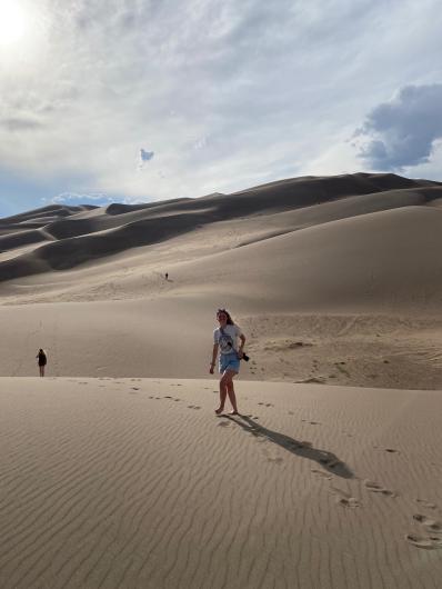
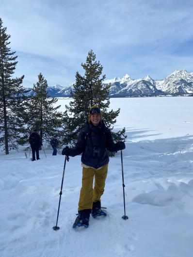
Before their internships end, Maggie and Morgan look forward to exploring BLM-managed public lands, where they will get to see firsthand how the tools and programs they developed are implemented in real time.
The GIS internships are hosted through the Western Colorado Conservation Corps, which offers opportunities for youth ages 18-30 or veterans up to 35 to serve directly with the BLM and the U.S. Forest Service.
Related Stories
- Successful Wild Horse & Burro Placement Event Draws National Interest in Liberty, Kentucky
- BLM law enforcement medical rescue team brings advanced care to public lands
- Meet Dashiell Gould Lagoyda, fisheries biologist intern at the Safford Field Office
- Colorado River District employees gather to celebrate service and teamwork
- Artist in Residence celebrates ‘place of special value’ in southwest Colorado
Office
PO Box 151029
Denver Federal Center - Building 40
Lakewood, CO 80225
United States