
Wolf Creek Recreation Area | Oregon
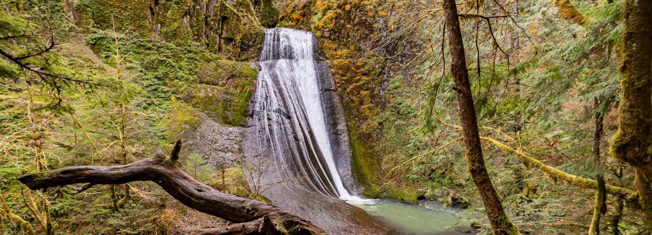
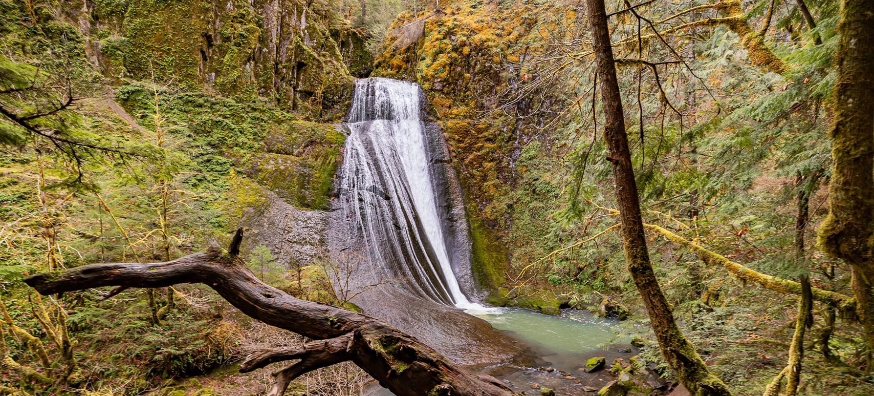
Pack a lunch in your backpack and head out for an attractive hike through an old growth forest. This 1.2 mile forest trail leads to a cascading two-tier waterfall that plummets 75 and 50 feet into plunge pools. During the rainy seasons of winter and early spring, the massive upper Wolf Creek Falls puts on a display of strength and power. Spring brings on lush vegetation and vibrant colors for photographers. The reduced water flows in the summer months reveal the complex channels and pathways the water has carved into the bedrock cliffs underneath Wolf Creek Falls.
Know Before You Go
- The trailhead provides ample parking, a vault toilet, and a picnic table across the road from the trailhead.
- A single picnic site is located approximately one-half mile up the trail.
- Please stay on the trail to avoid starting new trails.
- Open year round.
Point of Interest
The Umpqua National Forest manages several other waterfalls in the vicinity of Little River including Grotto, Hemlock, Yakso, and Shadow Falls.
Photos
Contact Us

Activities


Addresses
Directions
Travel east on Highway 138 from Roseburg to Glide. Turn east (right) on Little River Road (County Rd #17) and travel 10.7 miles to the Wolf Creek Falls Trailhead (at arched foot-bridge).
External Map
Fees
Contact the field office for more information about fees and permits.