
Ute Trailhead- Gunnison Gorge |
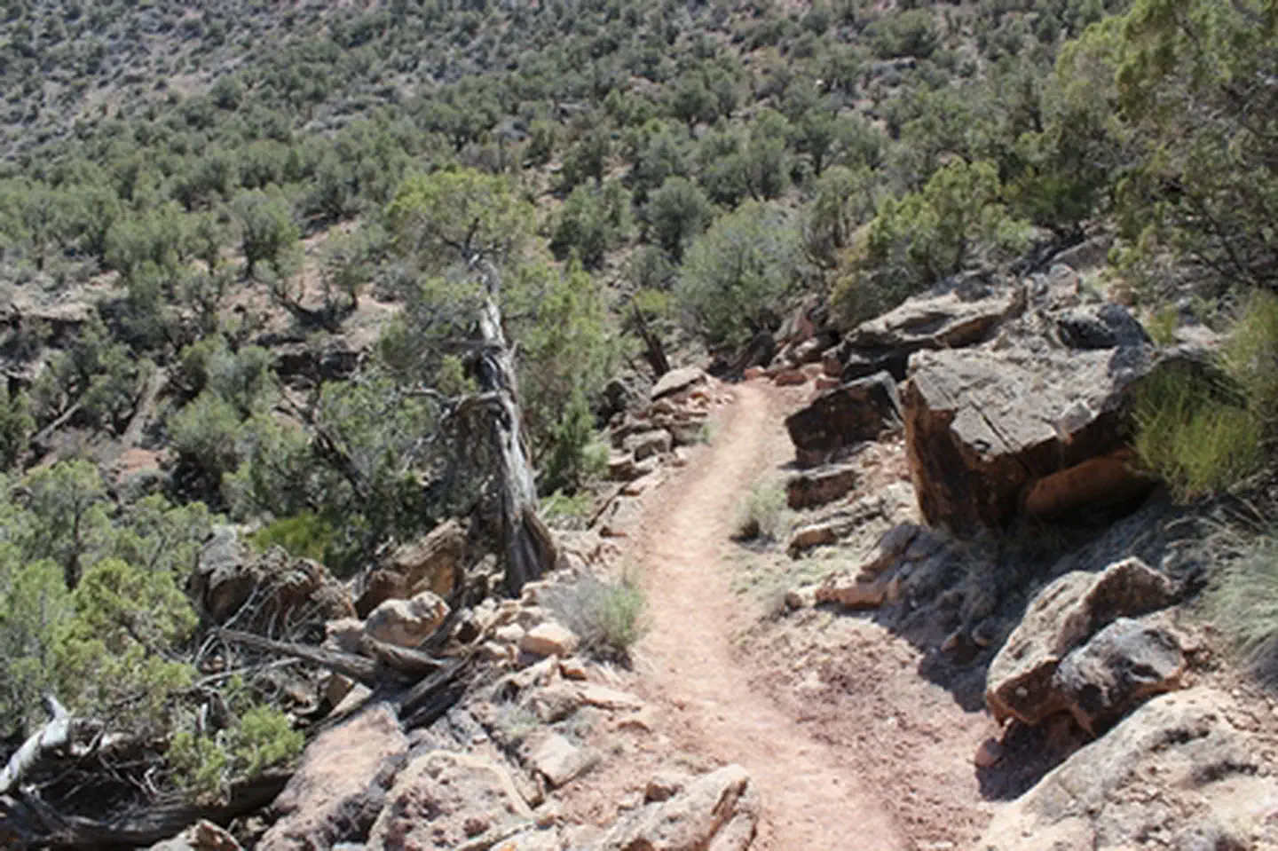
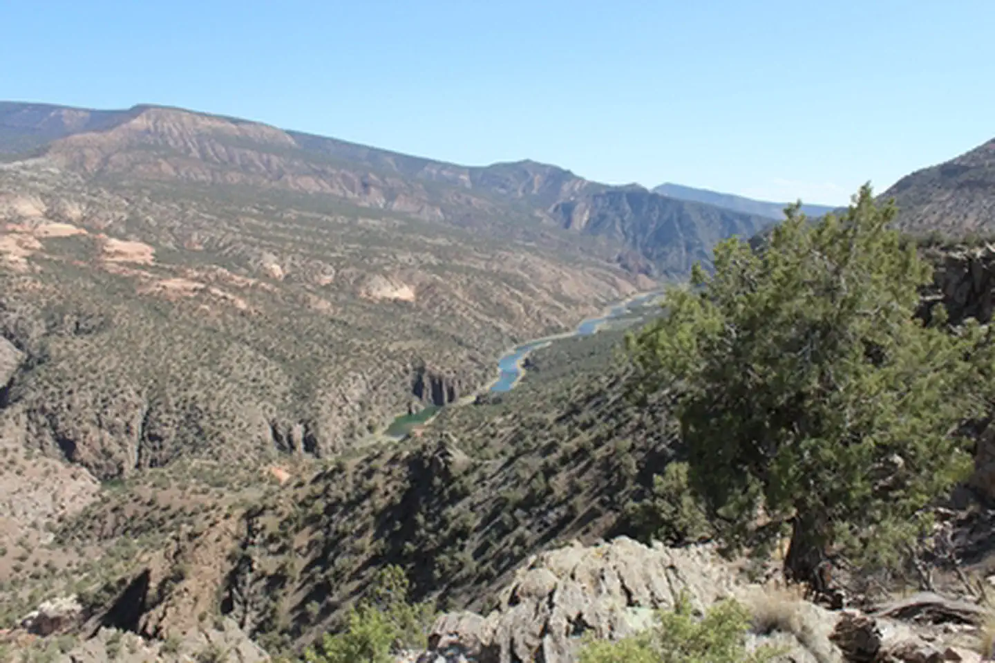
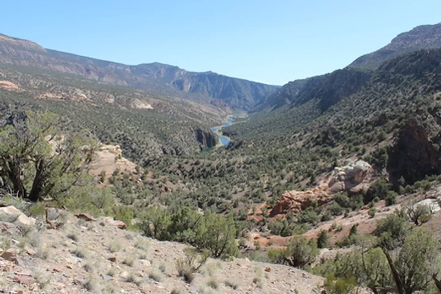
The trail begins on a ridge that overlooks the area around Delta, Colorado to the west, over 1200 feet below and the Gunnison Gorge Wilderness Area to the east with a similar drop in elevation to the level of the Gunnison River where it ends about 4.5 miles away. The ridge line forms the western boundary of the wilderness area as it passes through this area of the Gunnison Gorge National Conservation Area. Site amenities include two campsites with shade structures and picnic tables, a vault toilet, and an informational kiosk. There is a self-serve fee station for use of the wilderness, including Ute Trail. For more information, please contact the Gunnison Gorge NCA or Uncompahgre Field Office.
Photos
Contact Us

Activities

Geographic Coordinates
Directions
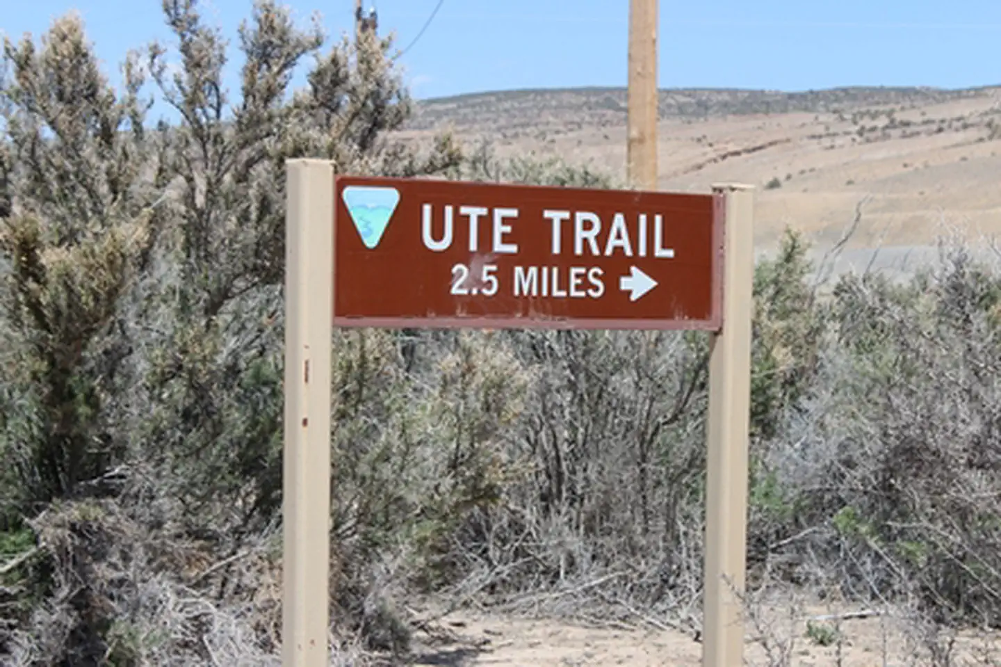
From Olathe, Colorado drive north on US 50 for 2.3 miles. Turn right on Carnation Road and continue for 3.1 miles. Turn left on 6200 Rd and continue for 3.8 miles. Turn left on Peach Valley Rd. After 0.4 miles look for a water filling station on the right and turn right onto Ute Rd. Ute Rd is high clearance 4WD. Follow Ute Rd for 2.5 miles to the trailhead.
Fees
Visitors to the Gunnison Gorge Wilderness Area will be charged the following user fees: Day Use Only (in and out the same day) = $3 per person. Day Use & Camping = $5 per person per calendar day. 1 night = $10. 2 nights = $15 (maximum allowable stay). Annual Pass for Day Use - $15 per /year. Fees apply to all users, 16 years of age and older, within the river canyon from the down-stream boundary of the Black Canyon of the Gunnison National Monument (2 miles upstream of the Chukar Put-In) down to, but not including, the Smith Fork confluence (10 miles downstream of the Chukar Put-In).