
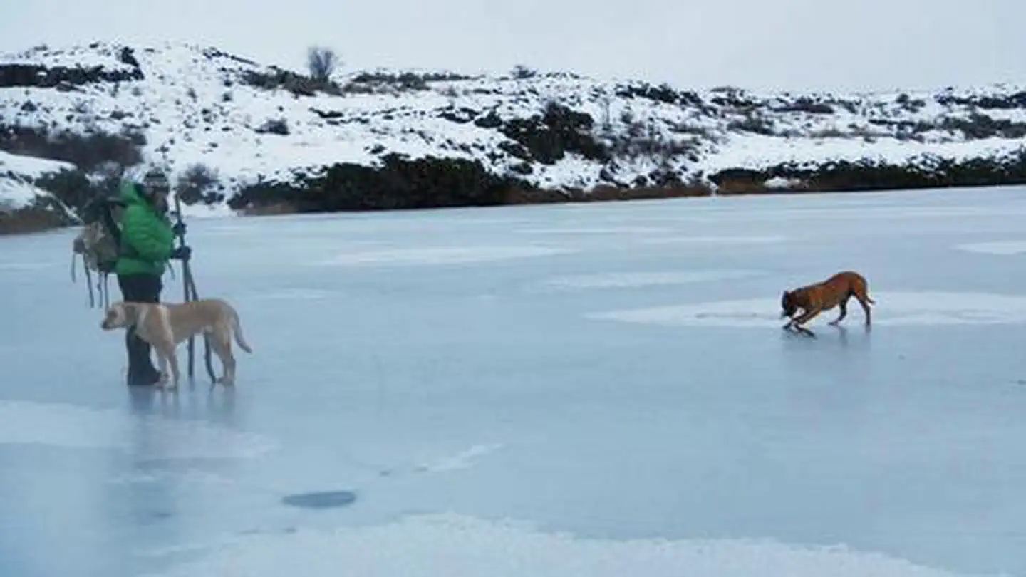
Twin Lakes Recreation Area | Washington
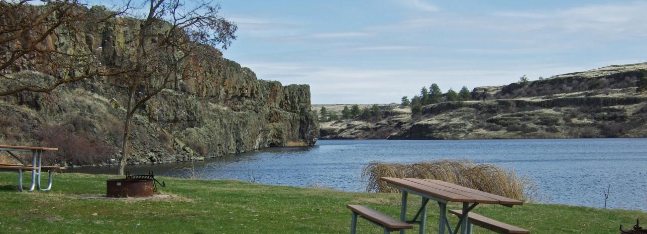
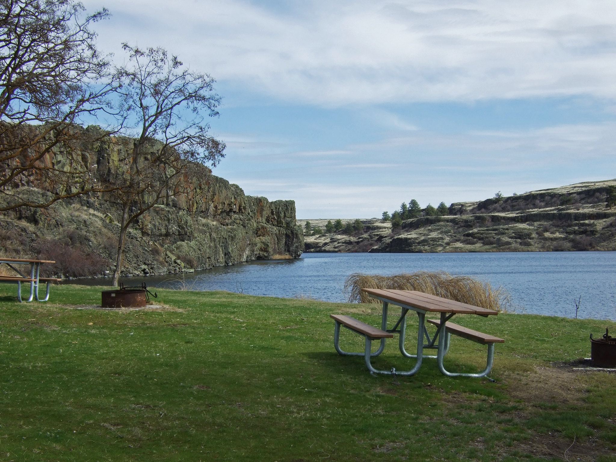
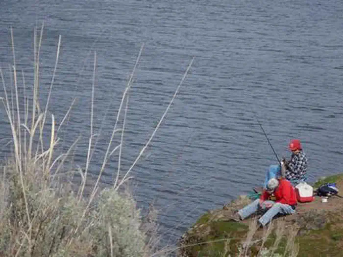
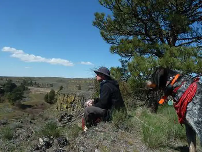
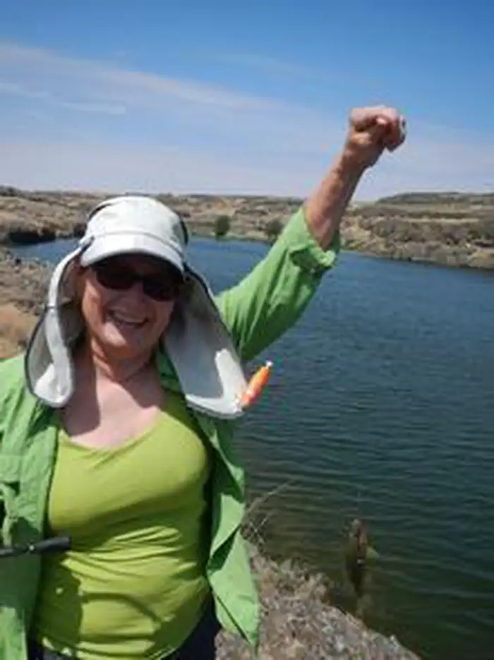
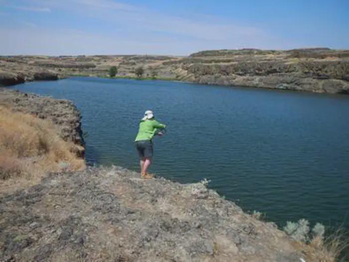
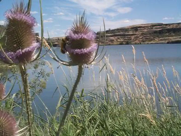
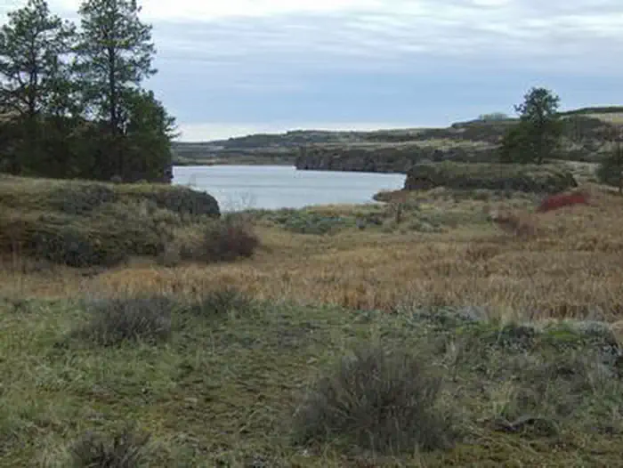
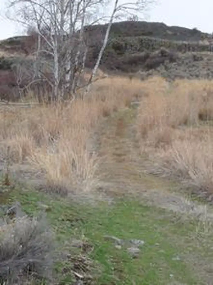
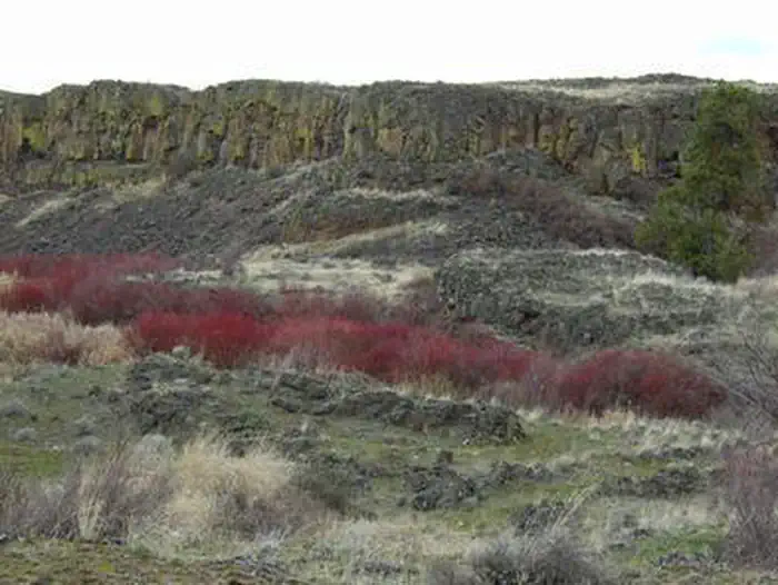
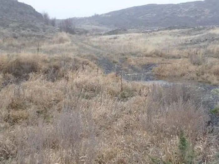
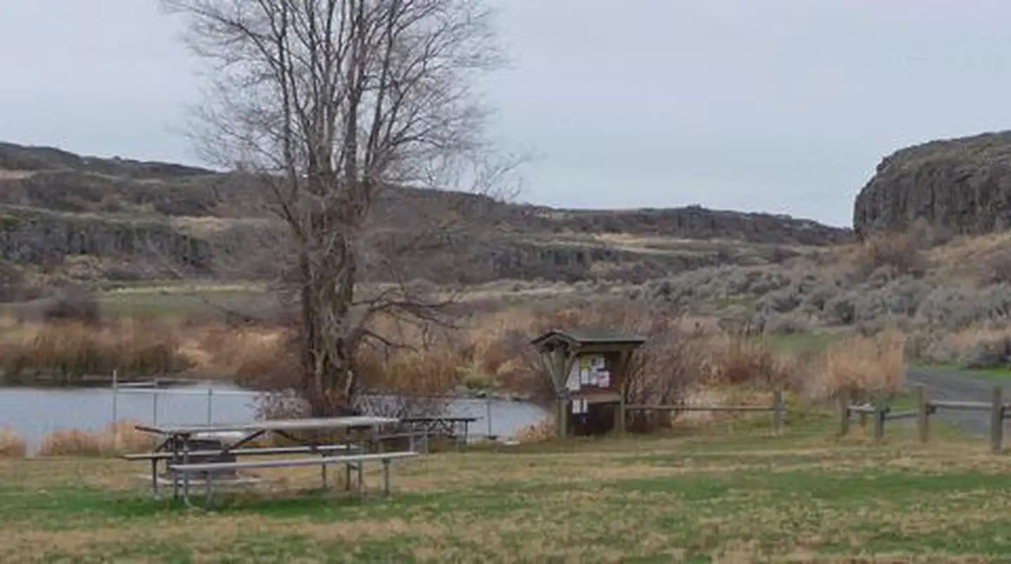
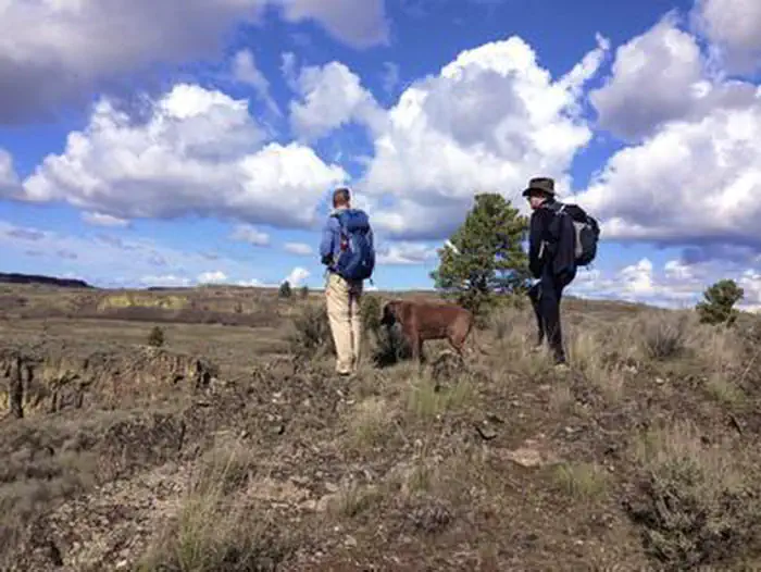
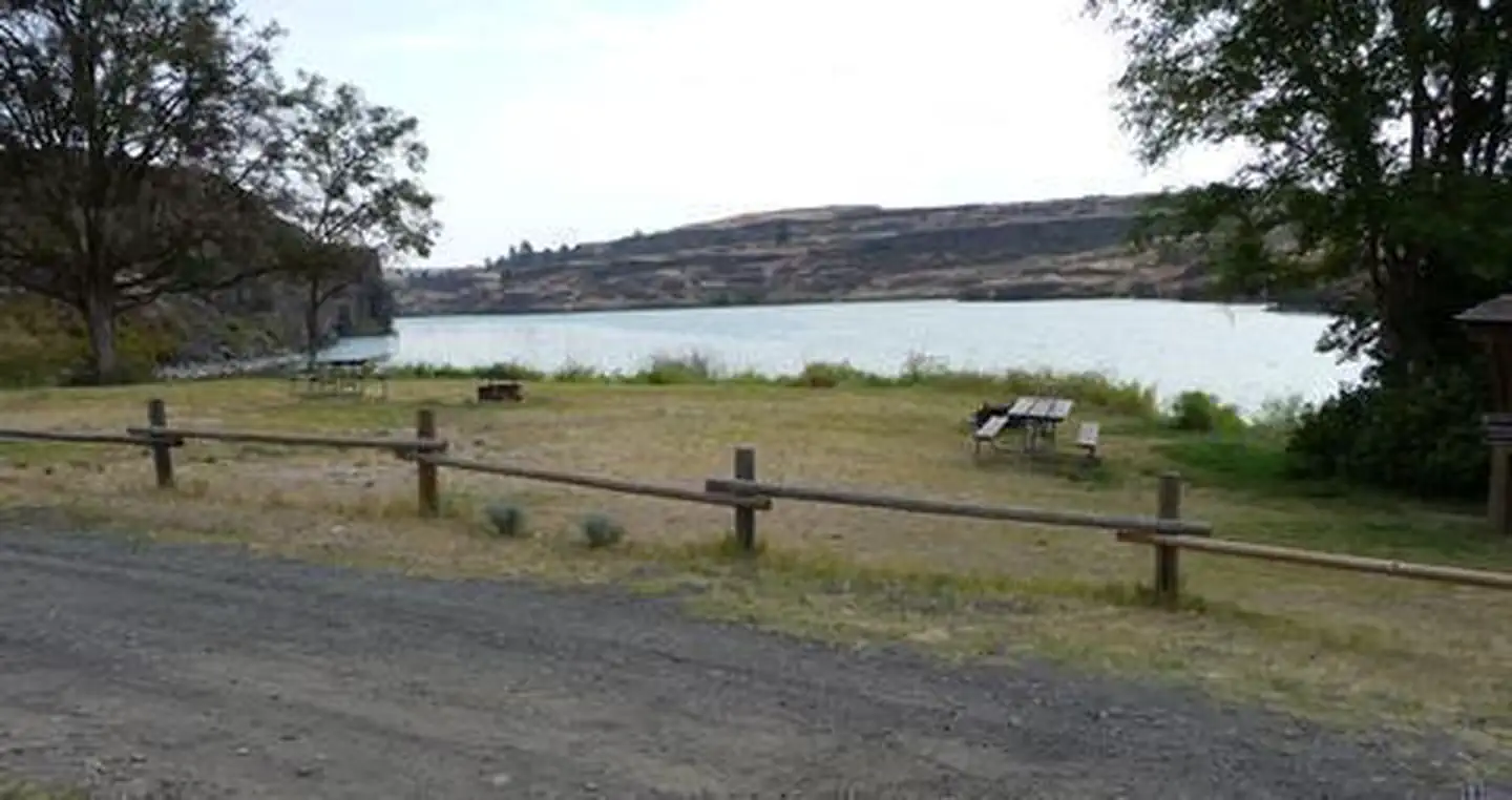
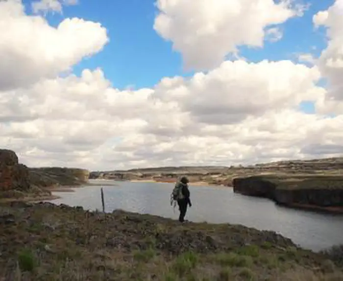
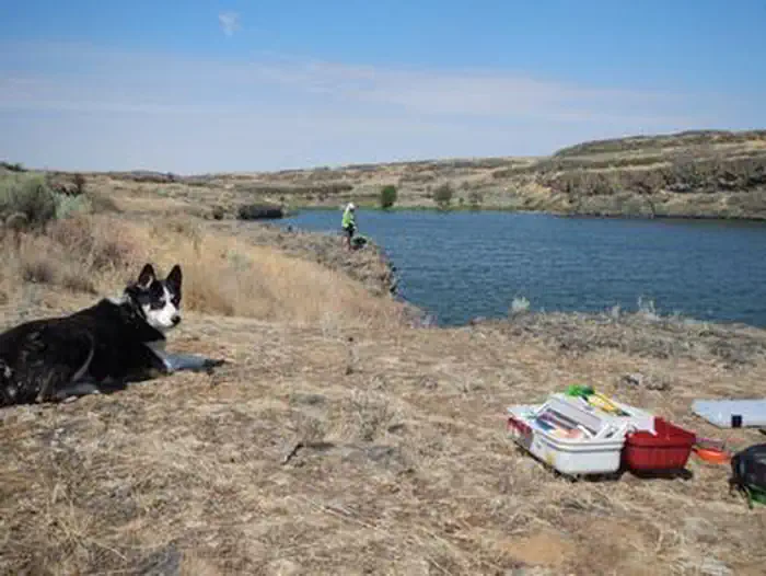
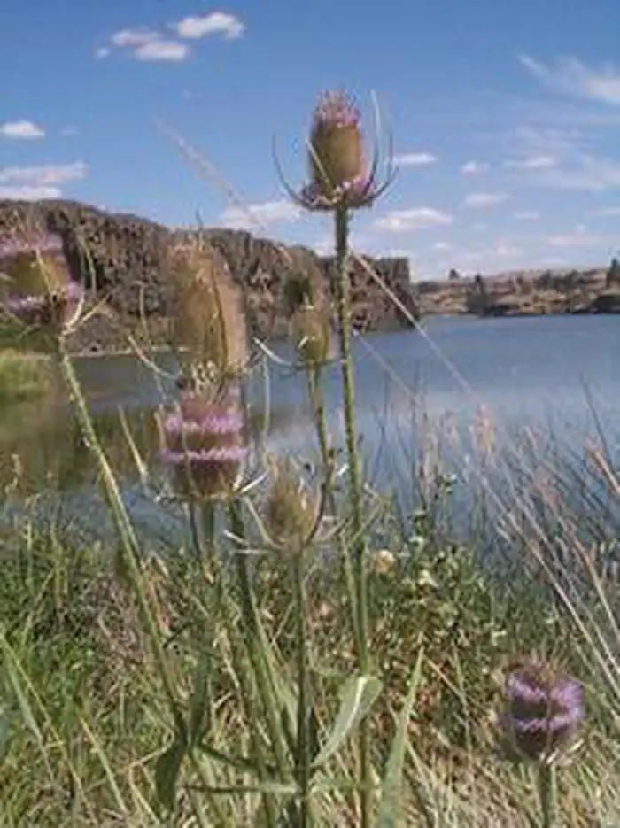
Nestled in at the south end of Upper Twin Lake, this site offers picnicking and camping in a serene setting with a few primitive campsites. Bright yellow balsam root are abundant in the spring. Popular activities here are fishing and paddling on the lakes, hiking, backpacking, hunting, horseback riding, waterfowl and wildflower viewing and photography. Anglers fish for stocked rainbow trout, largemouth bass, yellow perch, yellow bullhead, black crappie, and sunfish. Trails wind through shrub-steppe uplands, and the upper Lake Creek Canyon. Developed wetlands supporting numerous bird populations north of the lakes invite overland hikers to come and explore.
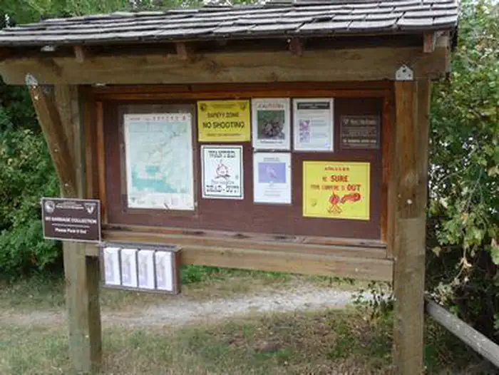
Know Before You Go
- The Twin Lakes Area is open year-round.
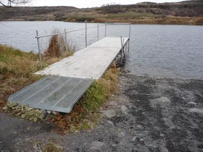
- Both lakes have primitive boat launches, and the upper lake also has a small dock.
- There are no services available.
- Beware of rattlesnakes, especially from May through October.
- For fishing or hunting regulations in the Twin Lakes area, contact the Washington State Department of Fish and Wildlife.
Point of Interest
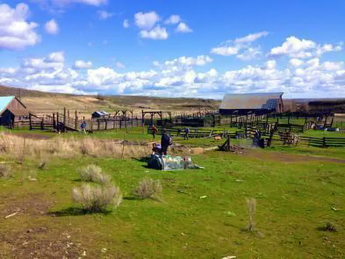
This area is a unique part of the Channeled Scablands with more than 16,000 acres of BLM public land located in Lincoln County. It is managed for its recreational opportunities and wildlife habitat.
Photos

Contact Us

Activities


Addresses
Directions
From Highway 28 at Harrington turn west onto Coffeepot Road and travel about 12 miles, then turn right onto Highline Road. Watch for public land access signs. Drive 1.5 miles to the entrance on the right. Follow this access road for about two miles to reach the recreation site.
External Map
Fees
No fees.