
Sutton Mountain and Pat's Cabin Wilderness Study Areas | Oregon
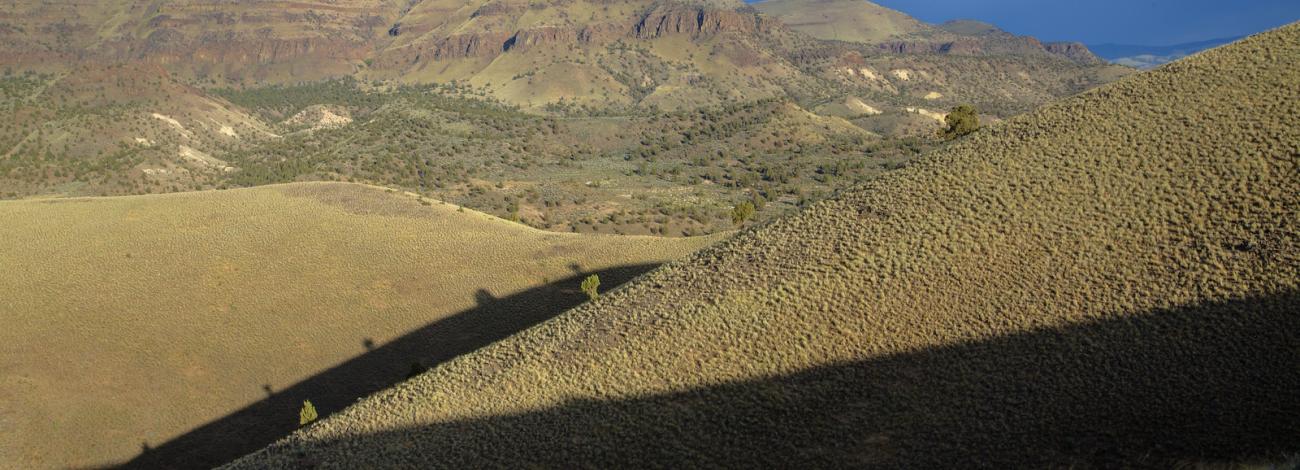
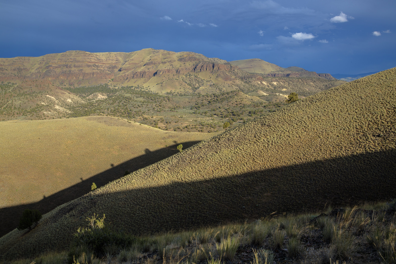
Sutton Mountain (28,872 acres) and Pats Cabin (9814 acres) Wilderness Study Areas are public lands in Wheeler County which are under consideration for wilderness designation by Congress and managed by the Prineville BLM District in a manner which maintains their suitability for preservation as wilderness. The WSAs form part of the eastern backdrop of the Painted Hills unit of the John Day Fossil Beds. The view from the top includes the Painted Hills, the Cascades from Jefferson to Adams, and the rimrock-filled John Day Country.
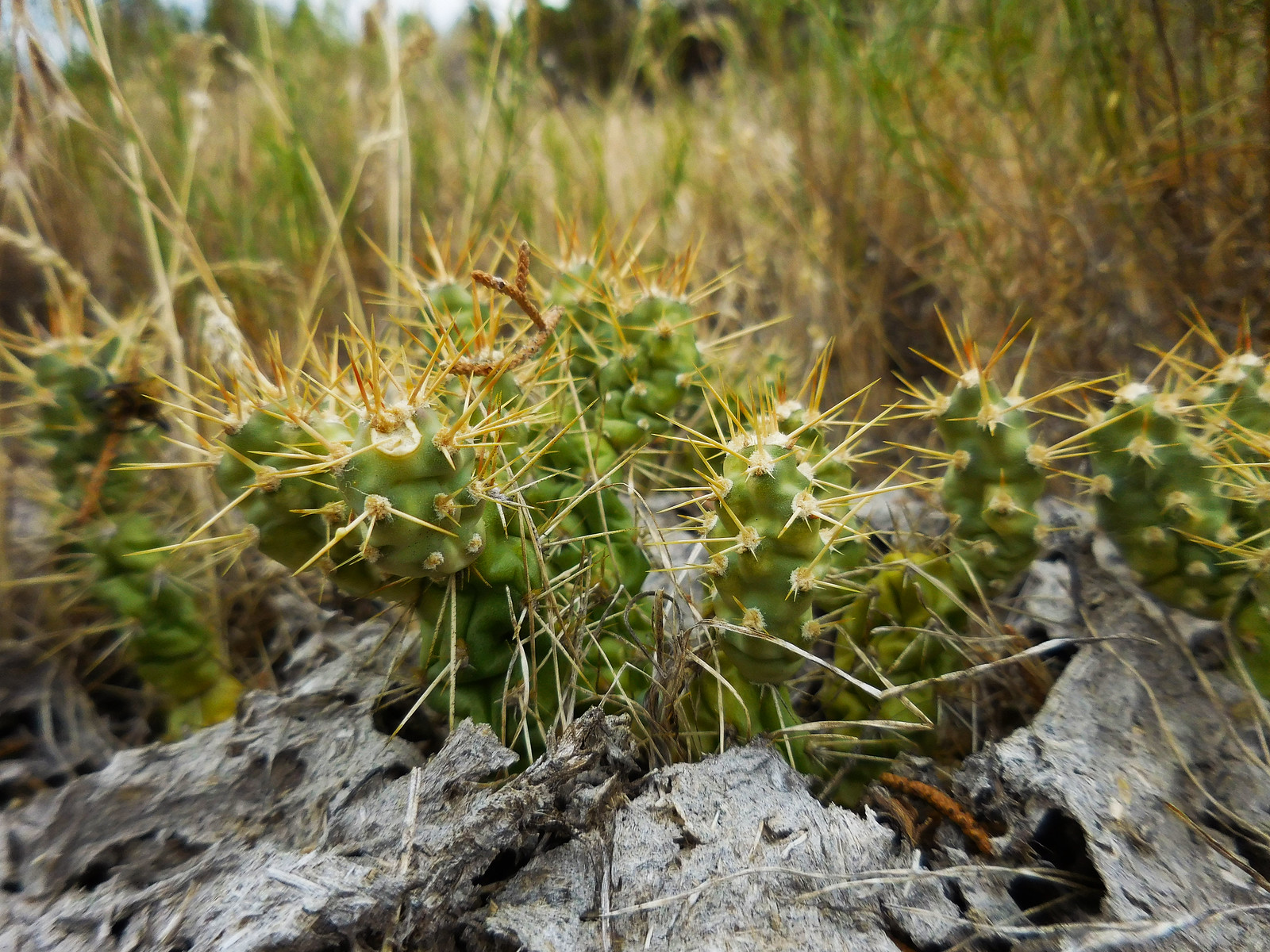
The area's vegetation is primarily comprised of western juniper and sagebrush. During the spring, wildflowers bloom in the open meadows. If you are observant, you may see a few Simpson's hedgehog cactus below the summit along the east ridge. This area provides habitat to pronghorn, deer, and elk. Solitude is as easy to come and recreational opportunities in this area will suit adventurous thrill-seekers and mellow nature enthusiasts alike.
Know Before You Go
- Access points for both WSAs can be found along the Sutton Mountain Back Country Byway.
- Visiting here is a primitive experience; there are no campgrounds or restrooms facilities at any of the access points for either WSA.
- When recreating on public lands, practice Leave-No-Trace Principles.
- Primitive recreation opportunities such as hiking, backpacking and hunting and plenty of solitude abound.
Point of Interest
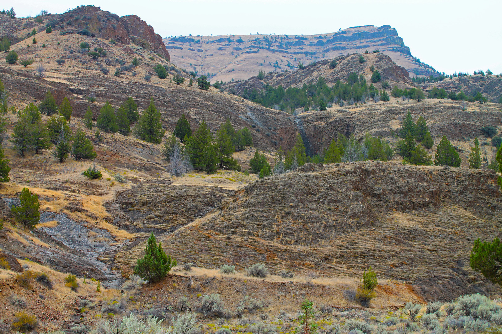
The base of Sutton Mountain (4694 ft) is composed of the volcanic ash and pyroclastic flows of the John Day Formation and is capped by Picture Gorge Basalt that flowed from fissures near the town of Monument, Oregon about 16 million years ago. The John Day formation is the same formation in which the fossils of the John Day Fossil Beds and the colorful paleosols of the nearby Painted Hills are now preserved.
Photos
Contact Us

Activities


Addresses
Directions
The Sutton Mountain and Pat's Cabin WSAs can be reached via the Sutton Mountain Backcountry Byway, a 41-mile scenic loop that can be traveled in either direction. From State Highway 26 about 3 miles west of Mitchell, Oregon, head north on Bridge Creek Road past the Painted Hills for about nine miles. Continue to the right toward Priest Hole on the Twickenham/Bridge Creek Cutoff Road and follow that for about 15 miles. Head south on Highway 207 until you bump into Highway 26, about .5 miles west of Mitchell.
Fees
No Fees.