
Sterling Mine Ditch Trail | Oregon
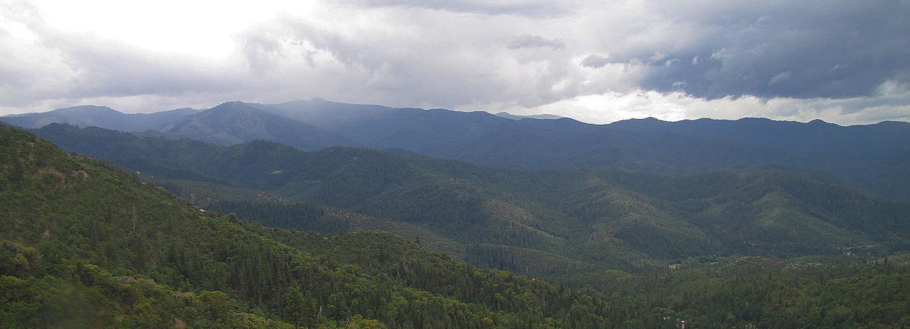
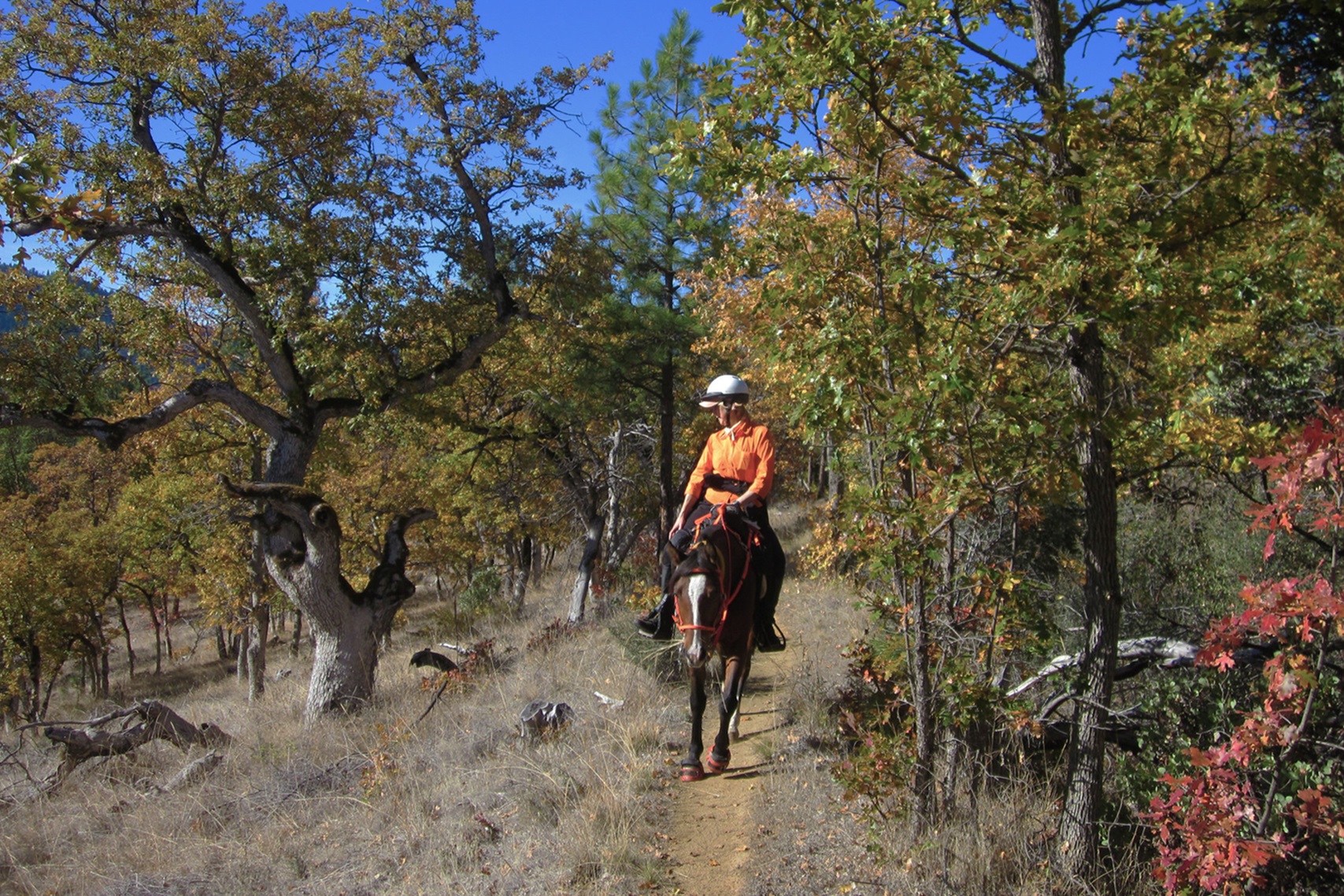
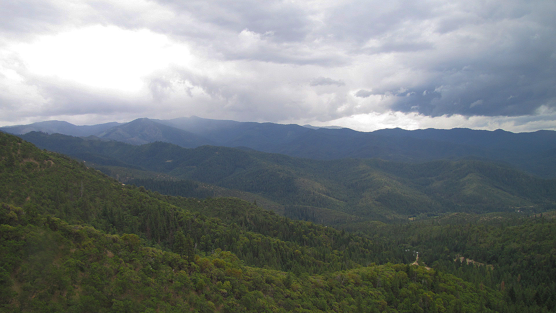
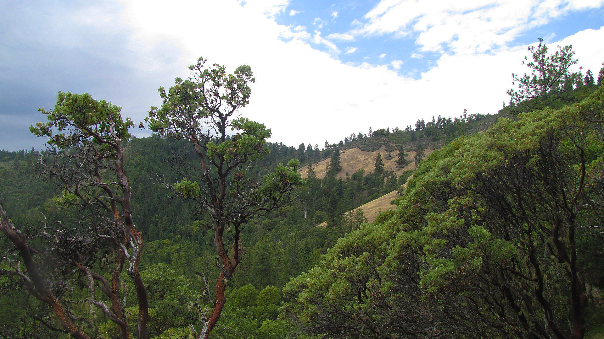
A low elevation trail offering year round opportunities for hikers, equestrian, and mountain bike users. This was the first trail designated a State Scenic Trail in southern Oregon. The trail offers a host of varied vegetation types, and the relatively flat terrain on the trail is great for all levels of experience. 21 miles of trail provides the user with ample opportunities for exploration. The trail follows the historic Sterling Mine Ditch, which carried water to the Sterling Creek Mine, from the 1880s until the 1930s.
Photos
Contact Us

Activities


Addresses
Directions
From Jacksonville, OR, head west on Cady road, turning left on Sterling Creek Rd. Go 8.7 miles, turning left on Armstrong Deming Rd. Go 3/10 mile, and follow signs at the T intersection for directions to Wolf Gap, Armstrong, and Deming trailheads. For Little Applegate River trailheads, proceed past Armstrong Deming Rd on Sterling Creek, turning left on Little Applegate Rd. Go 3.3 miles, where the road will turn to gravel. Go 2.8 miles to Bear Gulch, 3.4 miles to Tunnel Ridge, and 5.2 miles to Little Applegate trailhead.
External Map
Fees
Contact the field office for more information about fees and permits.