Visit Search Results Page

155 Results

Wolford Mountain Wolford Mountain
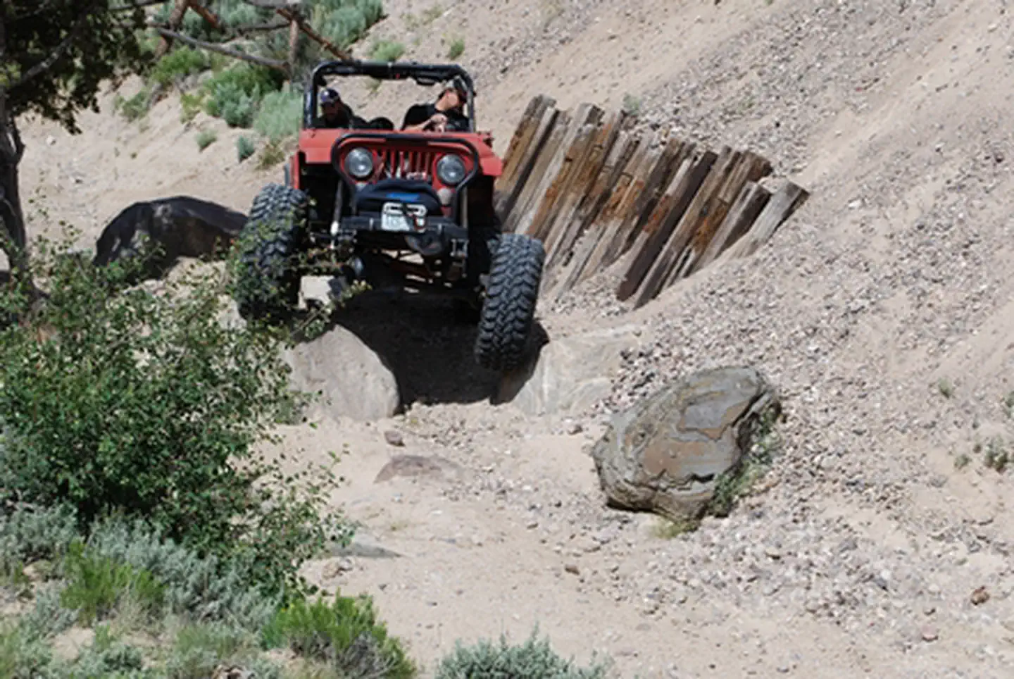
There are approximately 120 miles of designated roads and motorized trails in the Wolford Mountain Special Recreation Management Area. Motorized use is restricted to designated routes only. Some routes are open only to certain types of vehicles – signs indicate...
The Wolford Mountain area provides unrestricted use for the foot traffic throughout the area. The 0.2 – mile Wolford Reservoir trail is designated for foot and horse traffic. The trail descends through the sagebrush habitat, providing access to the shore...
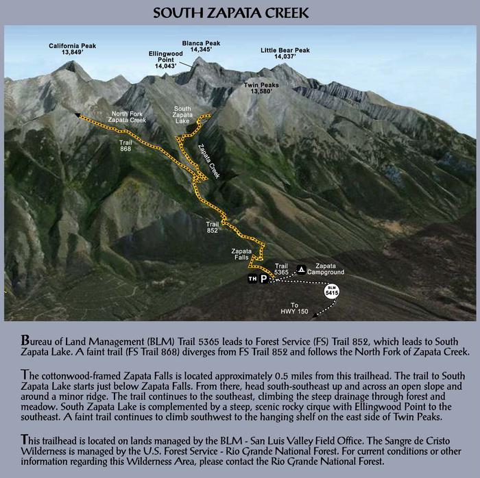
Zapata Falls Recreation Area Map & Info Zapata Falls Recreation Area Map & Info
Overview A short drive up the gravel road that leads to the Bureau of Land Management’s Zapata Falls Campground (CG) will let visitors to the area see the San Luis Valley and Great Sand Dunes National Park & Preserve from...
Zapata Falls Zapata Falls
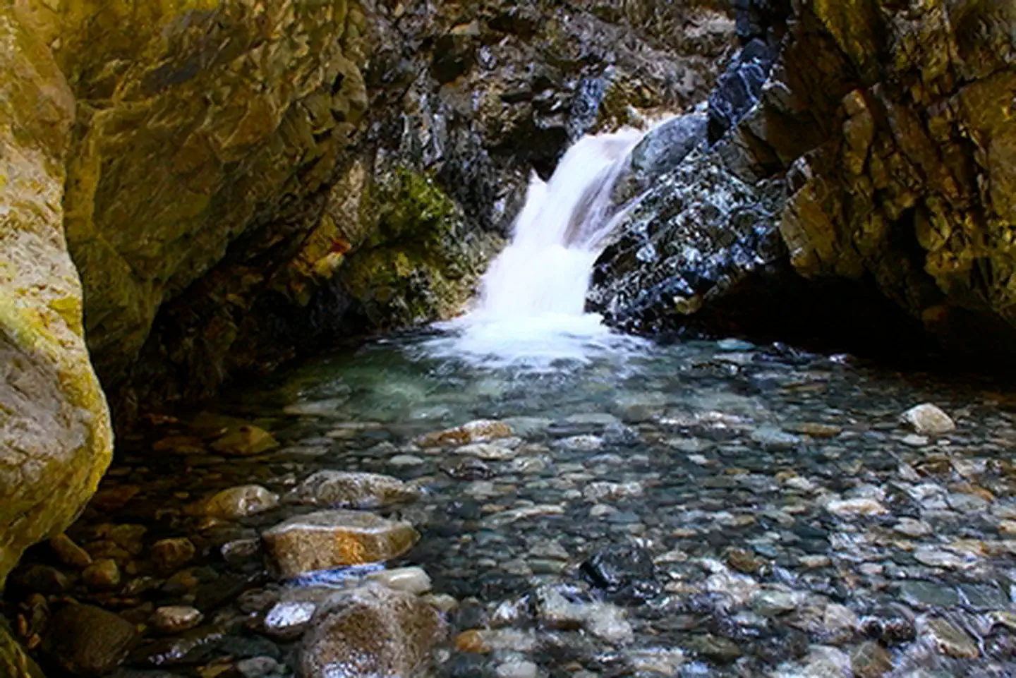
A short, yet slippery hike leads to the view of a 25-foot waterfall at Zapata Falls Recreation Area. During the summer months, the falls provide a cooling oasis, but during the winter months, the waterfall freezes into an enormous column...
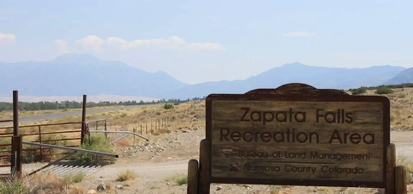
Zapata Falls Recreation Area Zapata Falls Recreation Area
Zapata Falls is a waterfall located near the base of the Sangre de Cristo Mountains on Bureau of Land Management land adjacent to Rio Grande National Forest and south of Great Sand Dunes National Park. The falls has a drop...