An official website of the United States government
Here’s how you know
Official websites use .gov
A .gov website belongs to an official government organization in the United States.
Secure .gov websites use HTTPS
A lock (
) or https:// means you’ve safely connected to the .gov website. Share sensitive information only on official, secure websites.
Scheduled Mineral & Land Records System (MLRS) Outage
MLRS (https://mlrs.blm.gov/s/) will be unavailable starting Thursday evening, Oct 15, through the weekend, with service restored Monday morning, Oct 19.

The WSAs topography varies from benchland to steep hillsides. Elevation ranges from 6500 feet to 7200 feet. The surrounding terrain contains high elevation basins and steep mountain peaks. Several peaks on the main ridge near the WSA exceed 9000 feet...
The canyon offers excellent wildlife watching, trout fishing, family-friendly rafting, and camping. The canyon's crevices and cliffs make a perfect home for the densest concentration of nesting birds.
Recommended Users: Mountain Bikers, Hikers. Singletrack trail. 0.54 miles in length. Difficulty: Most Difficult. Although this trail is entirely on SITLA (School Institutional Trust Lands), it is listed here in order to describe all the Gooseberry Mesa trails in their...
The Yuba Special Recreation Area, conveniently located in Central Utah, offers a variety of water recreation opportunities. Warm summer water temperatures, sandy beaches, nearby off-highway vehicle areas, and fishing for walleye and yellow perch attract visitors year-round. At an elevation...
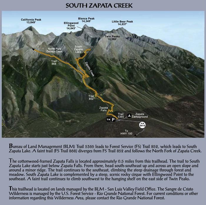
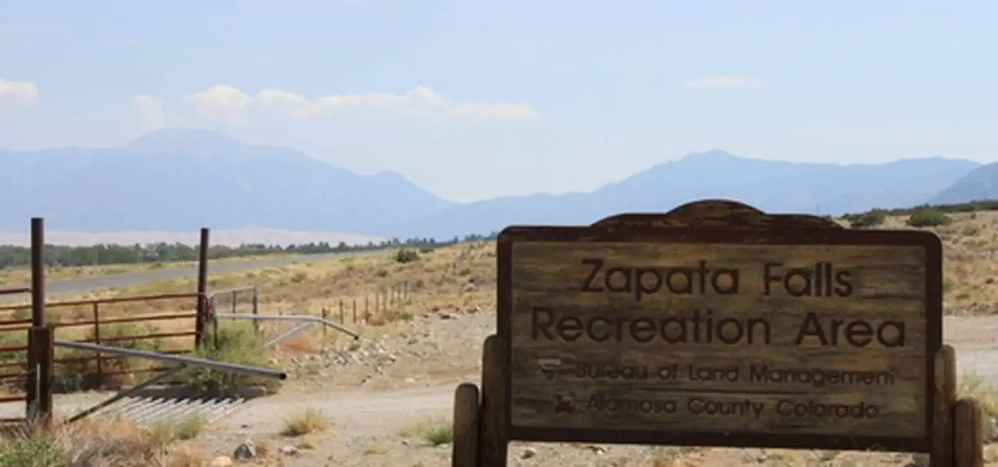
Overview A short drive up the gravel road that leads to the Bureau of Land Management’s Zapata Falls Campground (CG) will let visitors to the area see the San Luis Valley and Great Sand Dunes National Park & Preserve from...
Zapata Falls is a waterfall located near the base of the Sangre de Cristo Mountains on Bureau of Land Management land adjacent to Rio Grande National Forest and south of Great Sand Dunes National Park. The falls has a drop...