South Pass Overlook entrance

South Pass Overlook | Wyoming

A stop along the National Historic Trail Auto Tour Route, the South Pass Overlook includes six interpretive signs that focus on the early emigration period and the importance of the pass in US History. This is a fee-free site. The site is ADA accessible.

Photos
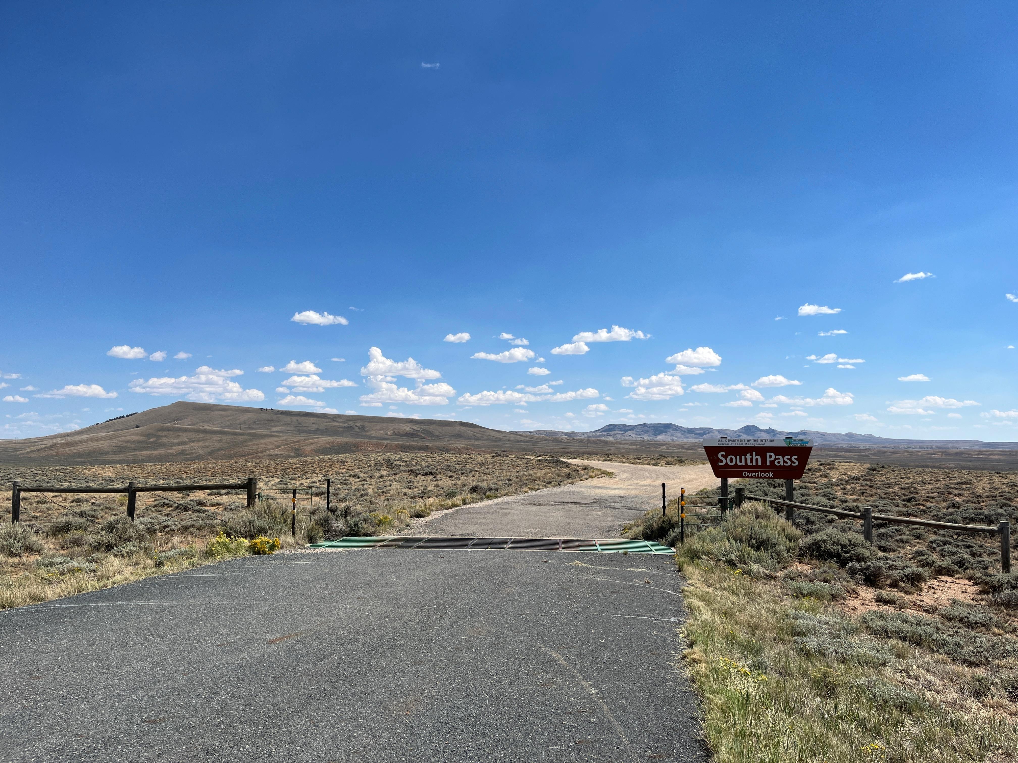
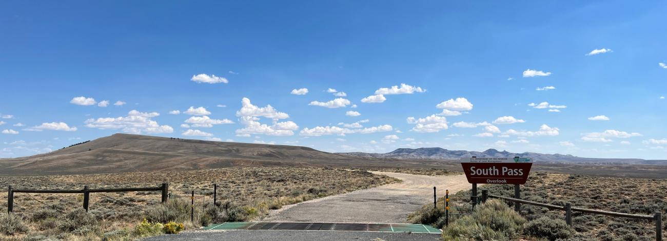
South Pass Overlook entrance South Pass Overlook entrance BLM photo by Allegra Gossett
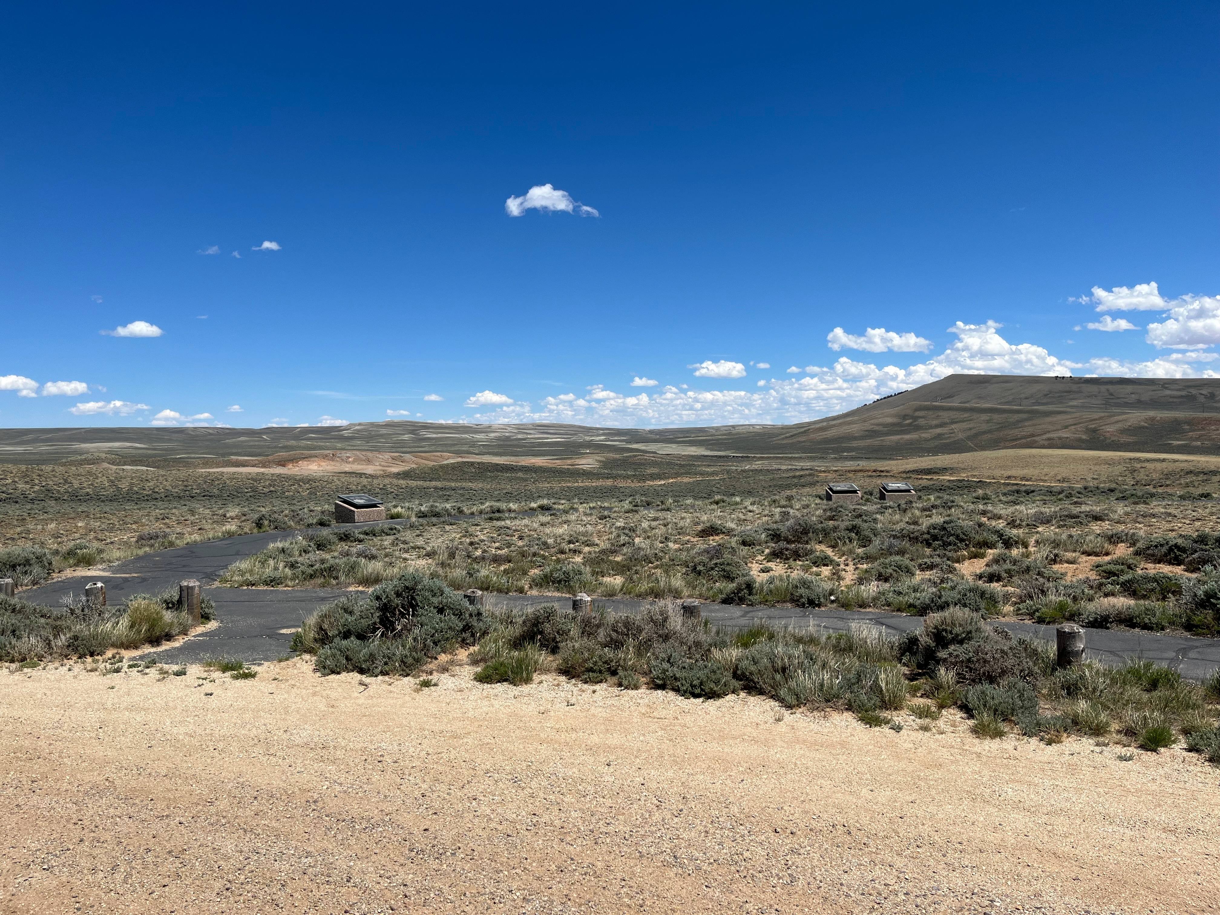
South Pass Overlook South Pass Overlook BLM photo by Allegra Gossett
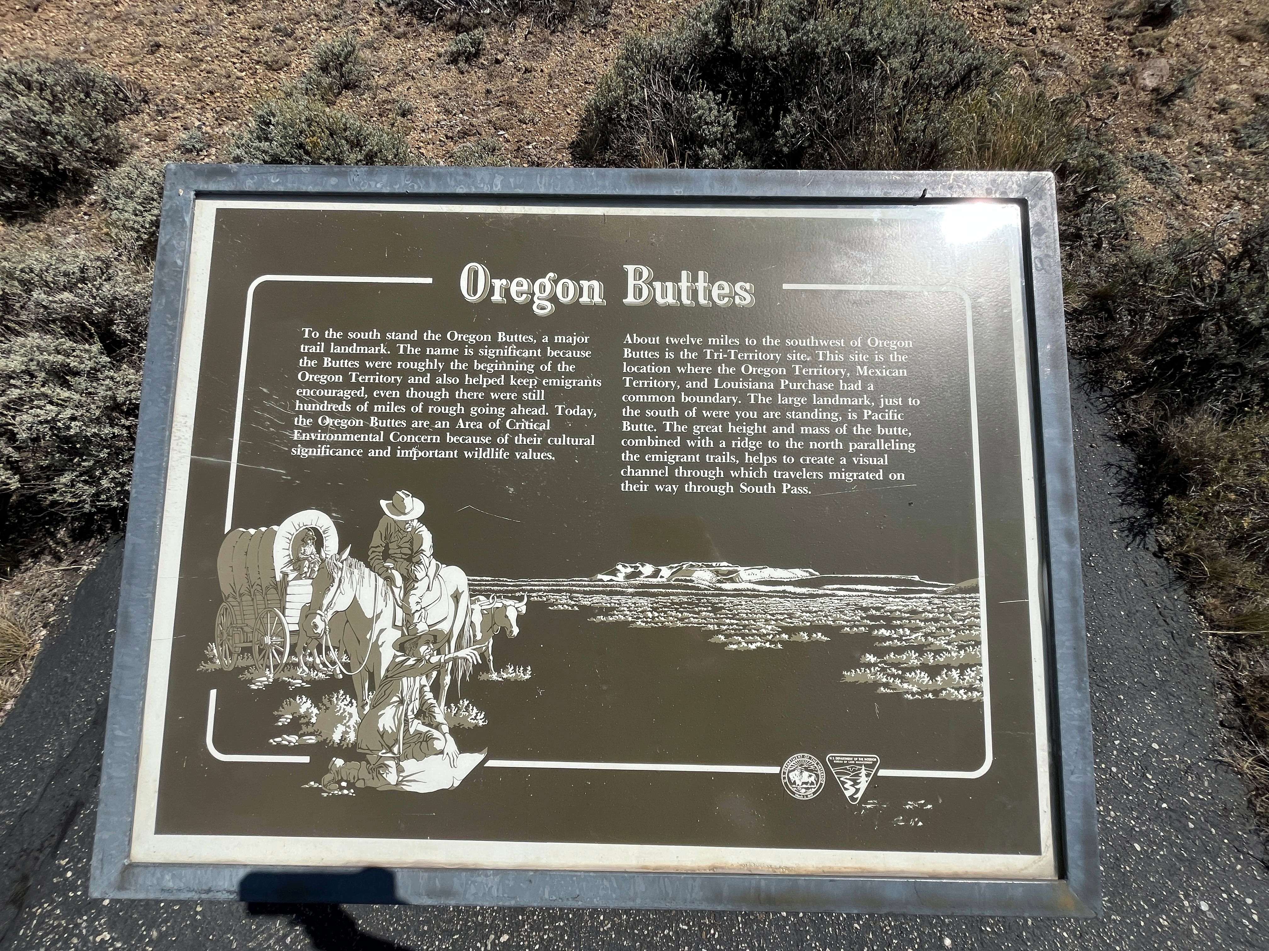
Oregon Buttes Interpretive Panel Oregon Buttes Interpretive Panel BLM Photo by Allegra Gossett
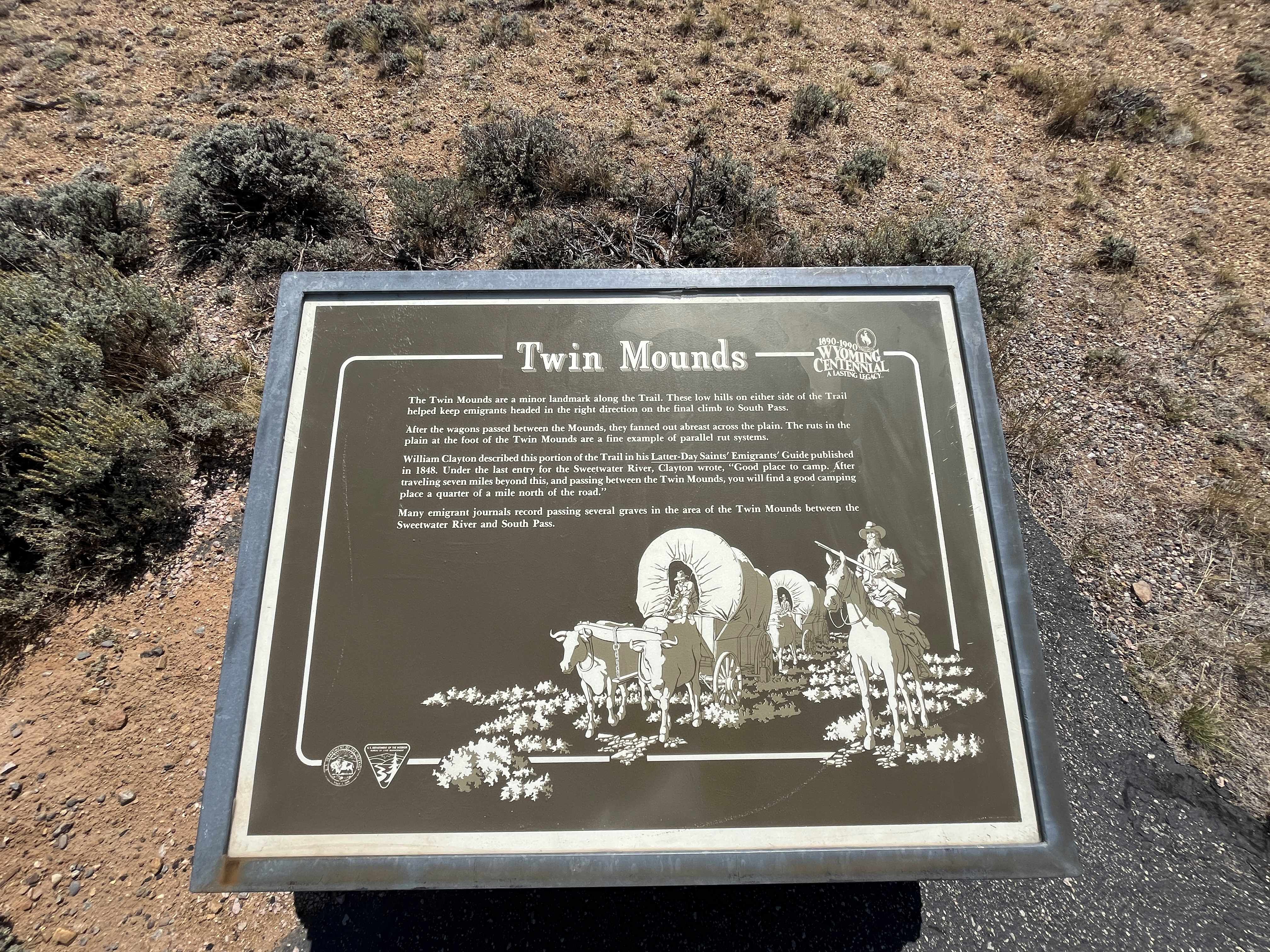
Twin Mounds Interpretive Panel Twin Mounds Interpretive Panel BLM photo by Allegra Gossett


BLM WYOMING KNOW BEFORE YOU GO

The BLM welcomes you to explore, enjoy, and make positive memories from your outdoor experiences on America's public lands and waters. Please remember these are wide-open spaces and wildlands. Plan ahead and be aware of potential hazards. It is everyone's responsibility to take the necessary steps to minimize chances of becoming lost or injured on public lands.

When visiting public lands, please also practice Leave No Trace and Tread Lightly principles.

For other key advice on various recreation activities, please visit the BLM's trip-planning tips page. These helpful tips can help you make the most of your recreation experience. However, for more information about local conditions, regulations and recreation resources, there is no substitute for visiting the closest BLM office.


Contact Us

This site is managed by Rock Springs Field Office; visit their page for office hours and directions.

Adventure is at Your Fingertips

Activities

Iconograph of a spoked wheel and an arrowhead.
HISTORIC & CULTURAL SITE
Iconograph of a spoked wheel and an arrowhead.
HISTORIC SITES
Iconography of a car surrounded by a dashed line with arrows
SCENIC DRIVE
Iconograph of person looking at interpretive panel
INFORMATION SITE

Addresses

Rock Springs Field Office
280 Highway 191 North
Rock Springs
Wyoming
82901

Geographic Coordinates

42.330832, -108.974199

Directions

Take State Highway 28 east of Farson for 33 miles.

Fees

No Fees