
Strawberry | Colorado
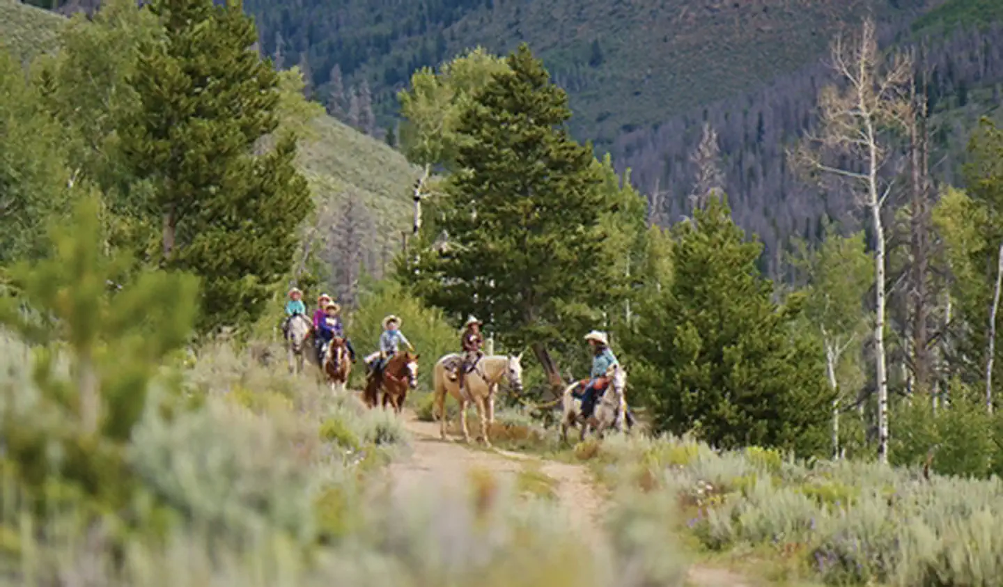
The Strawberry area includes approximately 8 miles of Single-track, non- motorized trails that are collectively known as the Phases. These Trails are interconnected with 10.5 miles of roads, creating a stacked-loop network that offers a variety of bicycle riding options. Bicycles and Motorized vehicles are restricted to designated roads and trails only. Watch for signs indicating allowable uses on specific routes. For more information, please contact the Kremmling Field Office.
Photos
Contact Us

Activities


Addresses
Kremmling Field Office
2103 E. Park Avenue
Kremmling
Colorado
80459
Directions
The Strawberry area is located approximately .5 miles North of Tabernash, East of U.S. 40off of County Road 84. Turn East onto CR 83, Following it for .5 mile. Turn North onto County Road 84 for .75mile. Turn West onto BLM Road 2751 for .75 mile to the Hurd Peak Trailhead parking area.
Stay Limit
Use existing campsites; Stay Limit is 14 Days