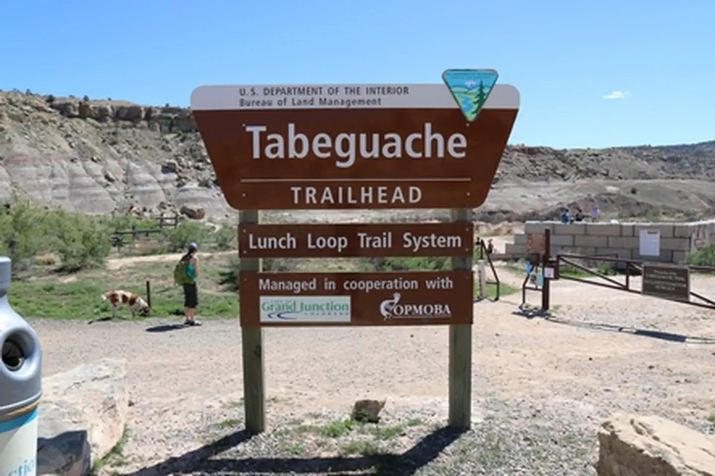
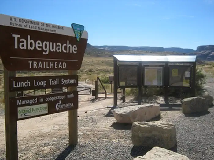
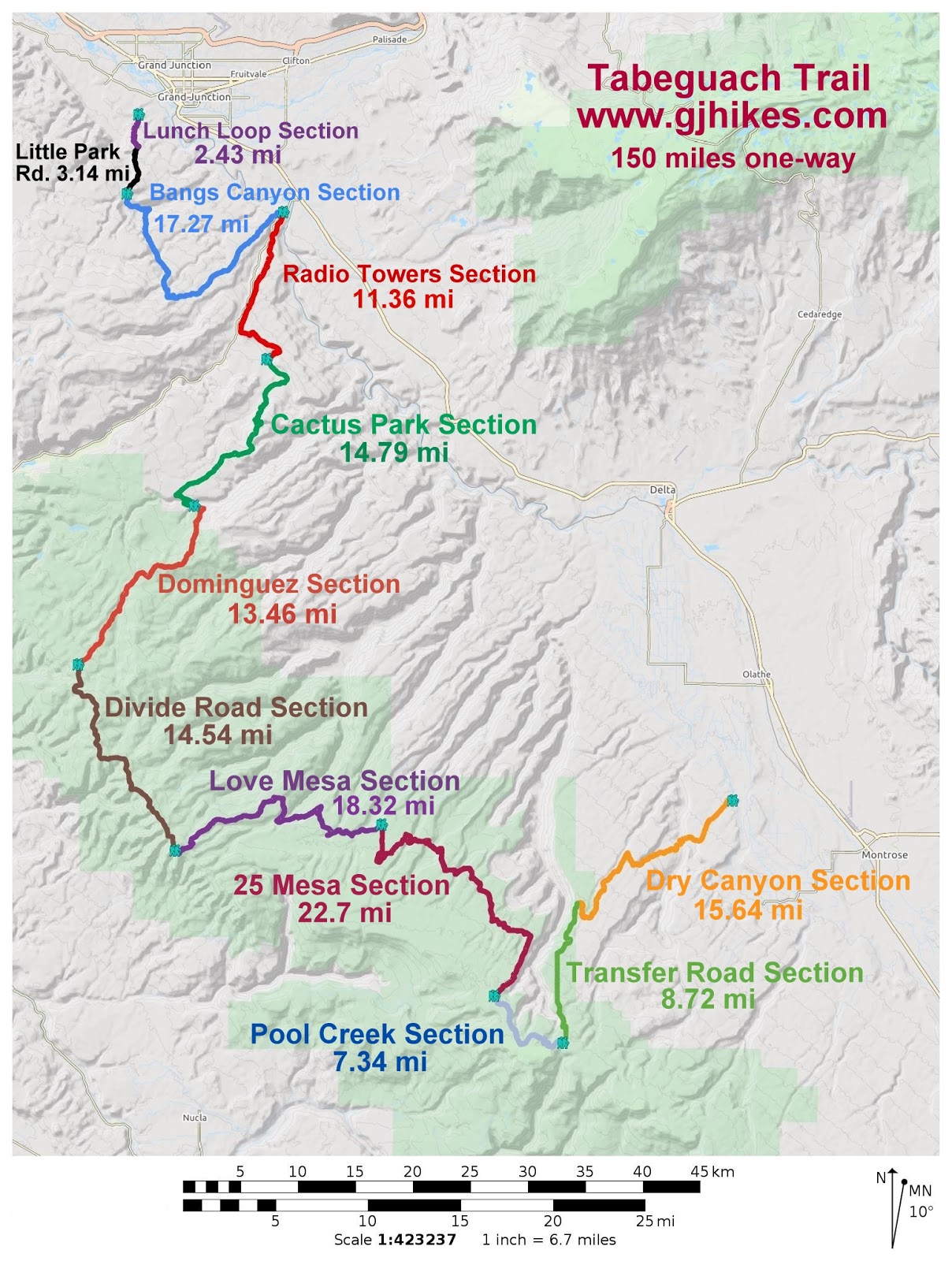
Tabeguache

The Tabeguache (pronounced TAB-a-watch) Trail crosses public land for 142 miles, connecting Montrose and Grand Junction, Colorado. The trail begins in Shavano Valley and weaves through the canyons, mesas, and highlands of the Uncompahgre Plateau before ending in No Thoroughfare Canyon, a few miles west of Grand Junction. The trail is marked by brown fiberglass posts approximately every mile, and at all intersections. Most of the trail is on remote lands administered by the U.S. Forest Service and BLM. The adventurous nature of this trail requires users to be cautious, personally responsible, and self-sufficient and have a working knowledge of backcountry survival. The use of topographic maps, a compass and/or GPS unit is strongly recommended. Carry plenty of drinking water as it is not readily available along the trail.


To reduce damage to the resource, you are encouraged to avoid the area when wet conditions exist. It is difficult, but not impossible, for high-clearance 4-wheel drive vehicles to travel all but single-track sections of the trail. Users are urged to respect all property rights by closing gates, being watchful for livestock, and camping only in approved camping areas. Users should also be aware that the Uncompahgre Plateau is a nationally renowned hunting area, and during the hunting season, it is highly recommended that you wear orange hats and jackets. Check state hunting dates with the Colorado Division of Wildlife before beginning your trip. For more information, please contact the Uncompahgre and Grand Junction Field Offices, or the Colorado Plateau Mountain Bike Trail Association (COPMOBA), which has produced a brochure for the entire trail.

Adventure is at Your Fingertips

Phone

Geographic Coordinates

38.51487, -108.0112

Directions

From the intersection of US 285 and CR 140 (1 mile north of the intersection of US 50 and US 285 near Poncha Springs), go west on CR 140 for 1.7 miles. Turn right (north) onto CR 250 and drive 4 miles to where FR 252 branches to the left. Take FR 252 for 3.1 miles to the trailhead.