


Pony Express Back Country Byway (BCB) | Utah


- High-clearance

Take a trip through Utah’s wild west while cruising through this unique road. The Pony Express Trail Back Country Byway is a 133-mile gravel road spanning the mail route that once dominated the nation. Now, you can explore the land Pony Express riders commanded with this historic back country road.
Byway Details
The Pony Express National Historic Trail was a cross-country route used by young men on horses or mules to carry the nation's priority mail from Missouri to California from 1860 to 1861. The horse-and-rider mail system was the United States' most direct and practical means of east-west communication for a short period before completion of the transcontinental telegraph, delivering letters in the unprecedented time of only ten days. In many ways, the Pony Express was the overnight priority mail of its day; however, it never made a profit and went bankrupt by the end.
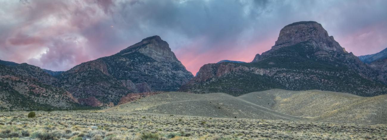
150 years later, visitors can closely follow the historic route of the Pony Express across Utah's west desert on a maintained BLM National Backcountry Byway gravel road, stopping at various station sites and interpretive displays along the way and experiencing a landscape that is virtually unchanged from the days of the Pony Express rider.
Attractions & Features
The Pony Express Trail holds many features, including:
- Remnants of old Pony Express stations
- Access to the Simpson Springs Campground
- Historic interpretive displays at key points
- Nearby the Onaqui Mountain Wild Horse Management Area and the Fish Springs National Wildlife Refuge
Contact Us
Activities


Directions
Take Interstate 15 to Exit 279 for Lehi. Drive west on SR 73 for 25 miles, then turn west onto the Pony Express Backcountry Byway.