
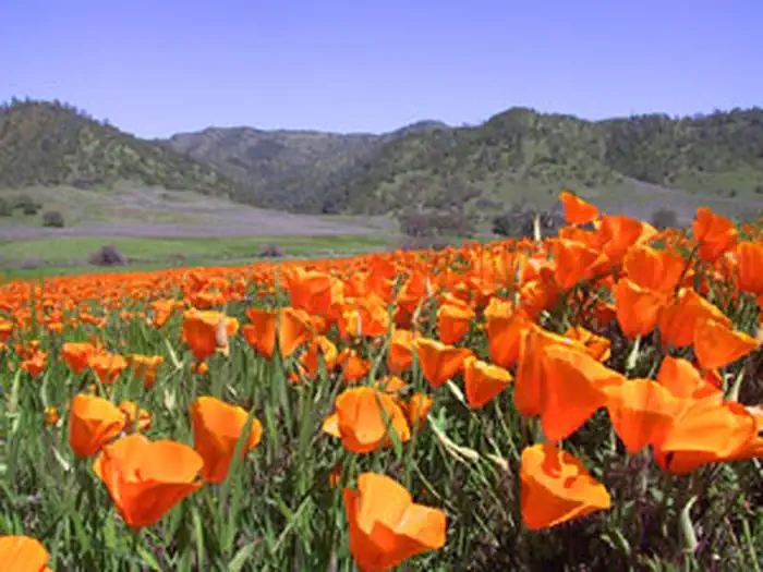
Cedar Roughs Wilderness | California
Effective Friday, June 5, 2026, the BLM Ukiah Field Office issued an updated Fire Prevention Order due to increased wildland fire danger. Target shooting is prohibited. For specific questions, please contact the Ukiah Field Office at (707) 468-4000. Fire Prevention Order
For a full list of restrictions, please visit the BLM California fire restrictions page.
State of California campfire permits are available for free at all BLM, USFS and CAL FIRE offices or at https://www.readyforwildfire.org/prevent-wildfire/campfire-safety/.
Overview
The Cedar Roughs Wilderness now contains a total of 6,287 acres and is managed by the Bureau of Land Management. All of the Wilderness is in the state of California. In 2006 the Cedar Roughs Wilderness became part of the now over 109 million acre National Wilderness Preservation System. In wilderness, you can enjoy challenging recreational activities and extraordinary opportunities for solitude. In an age of "...increasing population, accompanied by expanding settlement and growing mechanization,..." you play an important role in helping to "...secure for the American people of present and future generations the benefits of an enduring resource of wilderness" as called for by Congress in the Wilderness Act of 1964. Please follow the regulations in place for this area, and use Leave No Trace techniques when visiting to ensure protection of its unique natural and experiential qualities.
How to follow the seven standard Leave No Trace principles differs in different parts of the country (desert vs. Rocky Mountains). Click on any of the principles listed below to learn more about how they apply.
Leave No Trace principles:
- Plan Ahead and Prepare
- Travel and Camp on Durable Surfaces
- Dispose of Waste Properly
- Leave What You Find
- Minimize Campfire Impacts
- Respect Wildlife
- Be Considerate of Other Visitors
Regulations:
Motorized equipment and equipment used for mechanical transport are generally prohibited on all federal lands designated as wilderness. This includes the use of motor vehicles (including OHVs), motorboats, motorized equipment, bicycles, hang gliders, wagons, carts, portage wheels, and the landing of aircraft including helicopters, unless provided for in specific legislation. In a few areas some exceptions allowing the use of motorized equipment or mechanical transport are described in the special regulations in effect for a specific area. Cedar Roughs Wilderness is administered by BLM's Ukiah Field Office. Please contact the field office for more information about regulations.
Photos
Contact Us

Activities


Addresses
Directions
Located off Pope Canyon Road 2.2 miles west of Pope Creek bridge, Lake Berryessa, or 6.3 miles east of Pope Valley airstrip.
Fees
No Fees