
Sacramento Pass Rec. Area | Nevada
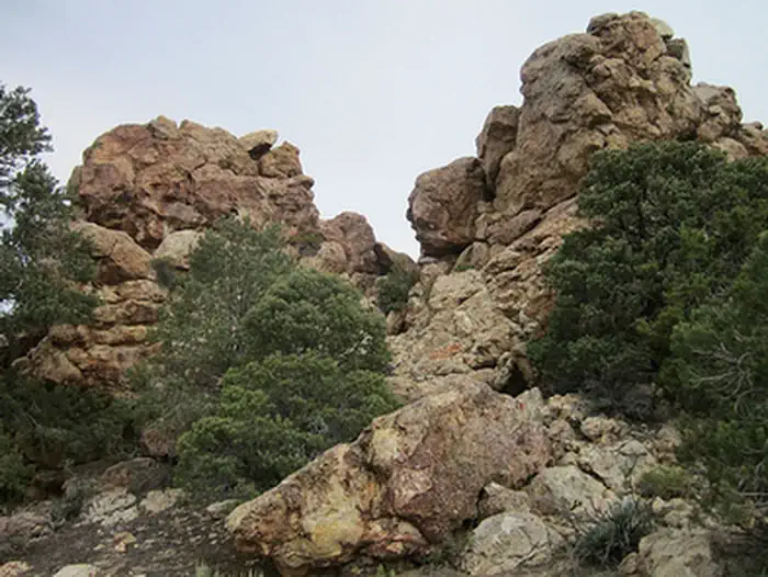
Sacramento Pass Recreation Area is centrally located on the crest of the Snake Range with Weaver Creek basin and Great Basin National Park for a backdrop. A network of two-track roads allows hikers, bicyclists, horseback riders and OHV enthusiasts a chance to explore some beautiful country and see some historic mining ruins. Across the highway to the north Blackhorse Mining District, a ghost town still has remains to explore. To the west, the Historic Osceola Town Site, still an active mining community, has unique mining equipment present. Things to note: 3 trail loops (closed to motorized use) of various lengths: 6.5 miles total meander through the unique quartzite rock formations. There is one equestrian signed trail: 6 miles one way that extends into Weaver Creek basin and into the National Park, the trail is open to all uses. At the lower campground there is a small pond for fishing. This pond is stocked with trout from the nearby Spring Creek Fish Hatchery. Other amenities include picnic tables, grills, shade structures, trash cans and restrooms. No potable water. Camping available in 10 sites with a 14-day limit.
Photos
Accessibility Description (ABA/ADA)
Cell phone reception is spotty at this site, which is connected to Highway 50 via a well-maintained gravel road.
The site has two gravel loops, for the lower and upper campgrounds, also called Lower Pond Loop Campground and Upper Equestrian Trailhead Campground. There are shaded kiosks with maps and other site information in both loops. The lower-campground kiosk can be reached from a concrete pad. The upper-campground kiosk sits in gravel near a paving stone inscribed with a star-shaped compass, a wood border, and larger rocks. People using mobility devices may find it challenging to get close to the display.
Each campground has an accessible double vault toilet sitting on a concrete pad. Erosion may cause a lip between the gravel path leading to the toilets and the concrete pads near their entrances. There is no potable water.
Lower Campground
From the lower-campground toilet, a gravel path leads to a day-use area and pond with an accessible fishing platform. Two picnic tables with extended ends sit on uneven terrain next to the platform. From the tables a gravel path leads to a concrete slab transitioning to the platform ramp. The platform has a wooden deck and protective railings that are lower on the side facing the water.
The lower campground has 1 group campsite and 5 individual campsites, 1 of which is accessible. At the accessible campsite, a shade shelter covers a picnic table with an extended end that can accommodate wheelchair users. The table sits on a large concrete pad, as do a pedestal grill and an elevated fire ring that can be used from a sitting position.
At the typical campsites, a shade shelter covers a picnic table on a smaller concrete pad. This table does not have an extended end or recessed legs, so it is not considered accessible. A pedestal grill and typical fire ring sit on gravel next to covered table. The group campsite has two sheltered tables on concrete and a pedestal grill on gravel next to them. These tables do not have an extended end or recessed legs. Erosion may cause a lip between the gravel and the concrete pad at this campsite.
Upper Campground
The upper campground has 4 individual campsites, 1 of which is accessible. The accessible site has a shade shelter covering a picnic table with an extended end, a pedestal grill, and an elevated fire ring on concrete.
The other 3 sites have metal picnic tables, pedestal grills, typical fire rings, and tent pads. At one of the typical campsites, the picnic table has an extended end and sits on compacted gravel under a tree for shade.
Trailheads for a non-motorized equestrian trail and an off-highway vehicle (OHV) trail can be reached via the upper campground. Although neither trail was designed with accessibility in mind, the OHV is wide enough to accommodate adaptive bicycles.
Descriptions and photos uploaded June 2026. Please note that actual on-the-ground conditions may vary due to natural events (e.g., weather, wildfires, erosion), normal wear and tear, or site improvements.
Contact Us

Geographic Coordinates
Directions
How to get there: Sacramento Pass Recreation Area is located along Highway 50 about 40 miles east of Ely or 15 miles west of the Utah border. Approximately 20 miles from Great Basin National Park. Look for the sign on the south side of the Hwy.
Fees
Free, No Reservations, First Come First Serve.